3715 Katie Ln Little Rock, AR 72210
Western Little Rock NeighborhoodEstimated Value: $268,355 - $354,000
--
Bed
2
Baths
1,812
Sq Ft
$172/Sq Ft
Est. Value
About This Home
This home is located at 3715 Katie Ln, Little Rock, AR 72210 and is currently estimated at $311,839, approximately $172 per square foot. 3715 Katie Ln is a home located in Pulaski County with nearby schools including Lawson Elementary School, Joe T. Robinson Middle School, and Joe T. Robinson High School.
Ownership History
Date
Name
Owned For
Owner Type
Purchase Details
Closed on
May 12, 2016
Sold by
Carter Lisa M and Farrow Sherry L
Bought by
Connell Seth and Connell Robin
Current Estimated Value
Home Financials for this Owner
Home Financials are based on the most recent Mortgage that was taken out on this home.
Original Mortgage
$169,100
Outstanding Balance
$134,834
Interest Rate
3.71%
Mortgage Type
New Conventional
Estimated Equity
$177,005
Purchase Details
Closed on
Jul 19, 2000
Sold by
Spyridon Timothy James and Spyridon Kimberly Jo
Bought by
Carter Lisa M and Farrow Sherry L
Home Financials for this Owner
Home Financials are based on the most recent Mortgage that was taken out on this home.
Original Mortgage
$86,500
Interest Rate
8.23%
Create a Home Valuation Report for This Property
The Home Valuation Report is an in-depth analysis detailing your home's value as well as a comparison with similar homes in the area
Home Values in the Area
Average Home Value in this Area
Purchase History
| Date | Buyer | Sale Price | Title Company |
|---|---|---|---|
| Connell Seth | $178,000 | Standard Abstract & Title Co | |
| Carter Lisa M | $127,000 | First National Title Company |
Source: Public Records
Mortgage History
| Date | Status | Borrower | Loan Amount |
|---|---|---|---|
| Open | Connell Seth | $169,100 | |
| Previous Owner | Carter Lisa M | $86,500 |
Source: Public Records
Tax History Compared to Growth
Tax History
| Year | Tax Paid | Tax Assessment Tax Assessment Total Assessment is a certain percentage of the fair market value that is determined by local assessors to be the total taxable value of land and additions on the property. | Land | Improvement |
|---|---|---|---|---|
| 2025 | $1,191 | $39,520 | $5,600 | $33,920 |
| 2024 | $1,091 | $39,520 | $5,600 | $33,920 |
| 2023 | $1,091 | $39,520 | $5,600 | $33,920 |
| 2022 | $1,091 | $39,520 | $5,600 | $33,920 |
| 2021 | $1,042 | $19,520 | $3,850 | $15,670 |
| 2020 | $667 | $19,520 | $3,850 | $15,670 |
| 2019 | $667 | $19,520 | $3,850 | $15,670 |
| 2018 | $692 | $19,520 | $3,850 | $15,670 |
| 2017 | $692 | $19,520 | $3,850 | $15,670 |
| 2016 | $1,071 | $21,090 | $6,120 | $14,970 |
| 2015 | $1,071 | $21,090 | $6,120 | $14,970 |
| 2014 | $1,071 | $21,090 | $6,120 | $14,970 |
Source: Public Records
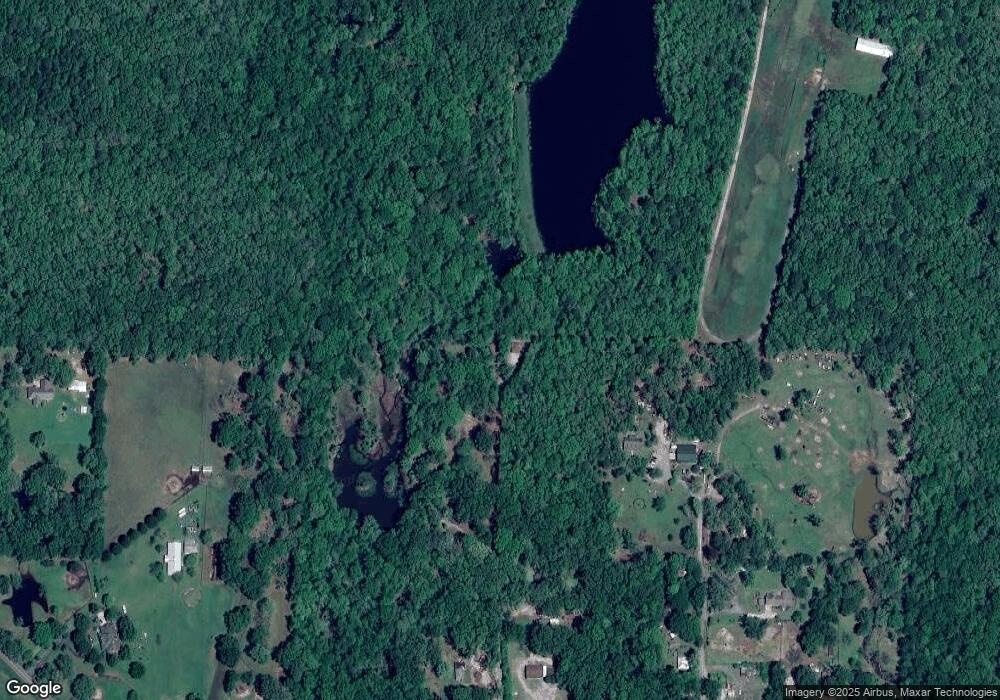
Map
Nearby Homes
- Lot 6 Faulkner Rd
- Lot 7 Faulkner Rd
- Lot 5 Faulkner Rd
- 23201 Barry Ln
- Lot 4 Barry Ln
- Lot 3 Barry Ln
- Lot 2 Barry Ln
- Lot 1 Barry Ln
- Lot 7 Waterview Estates
- 2301 Beauchamp Rd
- 22125 Colonel Glenn Rd
- 20700 Lisa Dr
- 20201 Running Creek Dr
- 2341 Still Hollow Trail
- 5 Jabo Lake Rd
- 000 Sparks Rd
- 23 Canyon Ridge Ct
- 24923 Colonel Glenn Rd
- 211 County Line Rd
- 19229 Colonel Glenn Rd
- 0 Katie Ln
- 3710 Katie Ln
- 3705 Ellis Rd
- 4031 Faulkner Rd
- 4031 Faulkner Rd
- 3818 Ellis Rd
- 3809 Ellis Rd
- 4405 Faulkner Rd
- 4301 Faulkner Rd
- 4203 Faulkner Rd
- 3901 Ellis Rd
- 3900 Ellis Rd
- 3601 Faulkner Rd
- 3801 Faulkner Rd
- 4500 Faulkner Rd
- 4200 Faulkner Rd
- 4208 Faulkner Rd
- 4506 Faulkner Rd
- 0 Faulkner (5 Acres) Rd Unit 17030475
- 4001 Faulkner Rd