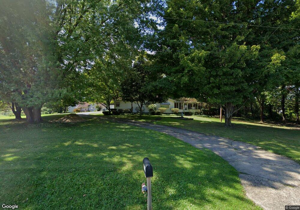
3717 Logan Gate Rd Youngstown, OH 44505
Estimated Value: $140,000 - $147,000
3
Beds
1
Bath
1,330
Sq Ft
$108/Sq Ft
Est. Value
About This Home
This home is located at 3717 Logan Gate Rd, Youngstown, OH 44505 and is currently estimated at $143,376, approximately $107 per square foot. 3717 Logan Gate Rd is a home located in Trumbull County with nearby schools including E.J. Blott Elementary School, William S. Guy Middle School, and Liberty High School.
Ownership History
Date
Name
Owned For
Owner Type
Purchase Details
Closed on
Mar 27, 2007
Sold by
Mclain Louis A
Bought by
Mclain Richard A and Mclain Linda S
Current Estimated Value
Purchase Details
Closed on
Mar 19, 2007
Sold by
Mclain Louis A
Bought by
Mclain Richard A and Mclain Linda S
Purchase Details
Closed on
Feb 13, 2007
Sold by
Mclain Louis A
Bought by
Mclain Louis A
Purchase Details
Closed on
Jan 1, 1990
Bought by
Louis Mclain
Create a Home Valuation Report for This Property
The Home Valuation Report is an in-depth analysis detailing your home's value as well as a comparison with similar homes in the area
Purchase History
| Date | Buyer | Sale Price | Title Company |
|---|---|---|---|
| Mclain Richard A | -- | None Available | |
| Mclain Richard A | -- | None Available | |
| Mclain Louis A | -- | None Available | |
| Louis Mclain | -- | -- |
Source: Public Records
Tax History
| Year | Tax Paid | Tax Assessment Tax Assessment Total Assessment is a certain percentage of the fair market value that is determined by local assessors to be the total taxable value of land and additions on the property. | Land | Improvement |
|---|---|---|---|---|
| 2024 | $1,206 | $32,690 | $7,280 | $25,410 |
| 2023 | $1,220 | $32,690 | $7,280 | $25,410 |
| 2022 | $1,284 | $28,040 | $7,280 | $20,760 |
| 2021 | $1,286 | $28,040 | $7,280 | $20,760 |
| 2020 | $1,289 | $28,040 | $7,280 | $20,760 |
| 2019 | $1,459 | $28,040 | $7,280 | $20,760 |
| 2018 | $1,450 | $28,040 | $7,280 | $20,760 |
| 2017 | $1,412 | $28,040 | $7,280 | $20,760 |
| 2016 | $1,495 | $29,020 | $7,280 | $21,740 |
| 2015 | $1,508 | $29,020 | $7,280 | $21,740 |
| 2014 | $1,491 | $29,020 | $7,280 | $21,740 |
| 2013 | $1,554 | $30,420 | $7,280 | $23,140 |
Source: Public Records
Map
Nearby Homes
- 3502 Somerset Dr Unit B
- 100 Cottage Grove Dr
- 0 Homestead Rd
- 2010 Powder Mill Run
- 0 Powder Mill Run Unit 5127327
- 0 Powder Mill Run Unit 5127333
- 2508 Applegate Rd
- 3700 Liberty Ave
- 3712 Logan Way
- 0 Stonington Dr
- 2407 Trussit Ave
- 6095 Bell Ave
- 50 Redfern Dr
- 925 Colonial Dr
- 3267 Bell Wick Rd
- 127 Roslyn Dr
- 790 Mansell Dr
- 2417-2419 Elm St
- 3516 Roseview Dr
- 227 Gypsy Ln
- 3645 Logan Gate Rd
- 3734 Logan Gate Rd
- 3010 Hubbard Rd
- 3020 Hubbard Rd
- 2 Payton Dr
- 2 Payton Dr
- 2 Payton Dr
- 2 Payton Dr
- 2954 Payton Dr
- 3943 Logangate Rd
- 2993 Hubbard Rd
- 0 Logangate Rd Unit 4015315
- 0 Logangate Rd Unit 4445478
- 3031 Youngstown Hubbard Rd
- 3011 Hubbard Rd
- 2949 Hubbard Rd
- 2943 Hubbard Rd
- 2943 Youngstown Hubbard Rd
- 3119 Youngstown Hubbard Rd
- 3160 Youngstown Hubbard Rd
Your Personal Tour Guide
Ask me questions while you tour the home.