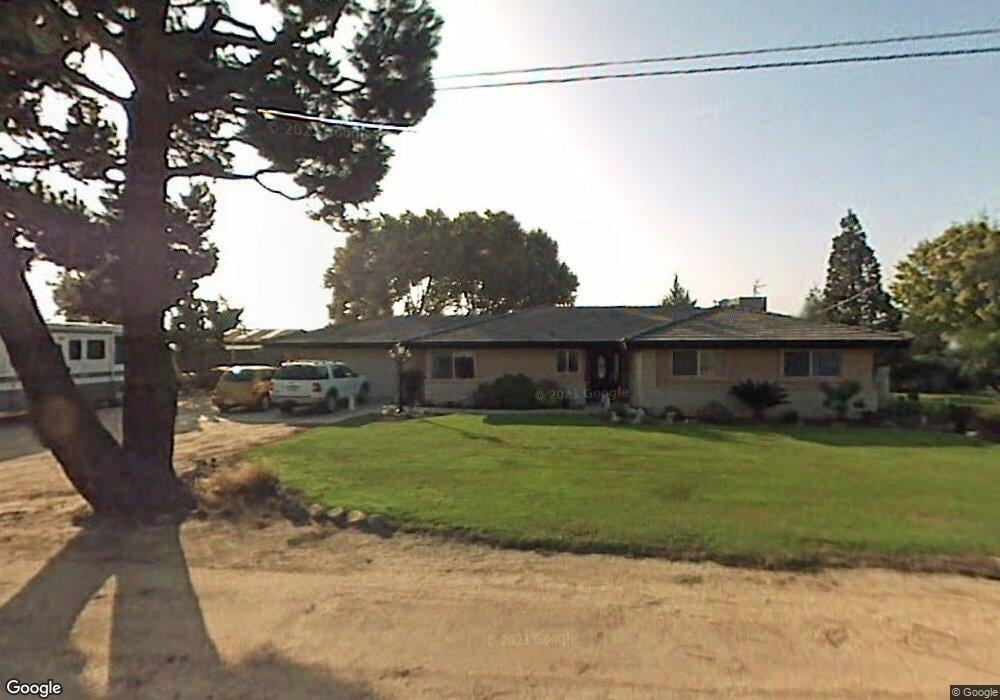
3717 Pacini St Bakersfield, CA 93314
Estimated Value: $451,000 - $642,000
3
Beds
2
Baths
1,792
Sq Ft
$321/Sq Ft
Est. Value
About This Home
This home is located at 3717 Pacini St, Bakersfield, CA 93314 and is currently estimated at $575,923, approximately $321 per square foot. 3717 Pacini St is a home located in Kern County with nearby schools including Independence Elementary School, Freedom Middle School, and Frontier High School.
Ownership History
Date
Name
Owned For
Owner Type
Purchase Details
Closed on
Feb 21, 2018
Sold by
Bulkeley Ronald T and Bulkeley Patricia Elaine
Bought by
Bulkeley Ronald T and Bulkeley Patricia Elaine
Current Estimated Value
Purchase Details
Closed on
Jun 6, 2006
Sold by
Bulkeley Ronald T and Bulkeley Patricia Elaine
Bought by
Bulkeley Ronald T and Bulkeley Patricia E
Home Financials for this Owner
Home Financials are based on the most recent Mortgage that was taken out on this home.
Original Mortgage
$129,000
Interest Rate
6.55%
Create a Home Valuation Report for This Property
The Home Valuation Report is an in-depth analysis detailing your home's value as well as a comparison with similar homes in the area
Home Values in the Area
Average Home Value in this Area
Purchase History
| Date | Buyer | Sale Price | Title Company |
|---|---|---|---|
| Bulkeley Ronald T | -- | None Available | |
| Bulkeley Ronald T | -- | Alliance Title Company |
Source: Public Records
Mortgage History
| Date | Status | Borrower | Loan Amount |
|---|---|---|---|
| Previous Owner | Bulkeley Ronald T | $129,000 |
Source: Public Records
Tax History
| Year | Tax Paid | Tax Assessment Tax Assessment Total Assessment is a certain percentage of the fair market value that is determined by local assessors to be the total taxable value of land and additions on the property. | Land | Improvement |
|---|---|---|---|---|
| 2025 | $2,351 | $134,590 | $21,118 | $113,472 |
| 2024 | $2,270 | $131,952 | $20,704 | $111,248 |
| 2023 | $2,270 | $129,366 | $20,299 | $109,067 |
| 2022 | $2,196 | $126,830 | $19,901 | $106,929 |
| 2021 | $2,044 | $124,344 | $19,511 | $104,833 |
| 2020 | $1,931 | $123,070 | $19,311 | $103,759 |
| 2019 | $1,841 | $123,070 | $19,311 | $103,759 |
| 2018 | $1,788 | $118,293 | $18,562 | $99,731 |
| 2017 | $1,702 | $115,975 | $18,199 | $97,776 |
| 2016 | $1,614 | $113,702 | $17,843 | $95,859 |
| 2015 | $1,524 | $111,995 | $17,575 | $94,420 |
| 2014 | $1,485 | $109,802 | $17,231 | $92,571 |
Source: Public Records
Map
Nearby Homes
- 3616 Nord Ave
- 16725 Bellewood Place
- 16612 Bellewood Place
- 3139 Nord Ave
- 16718 Pinecrest Ct
- 4112 Woodcastle Way
- 16009 La Strada Ct
- 15937 Cusano Place
- 15915 Quintero Place
- 17321 Falling Creek Ave
- 2537 Ollie Ct Unit 1
- 15413 Carparzo Dr
- 16016 Clarisse St
- 15801 Susan Eileen Ave Unit 1
- 16727 Brookview Ct
- 14925 Wayne Lee Ct
- 16729 Starview Ct
- 15015 Wayne Lee Ct
- 62 Nord Ave
- 19240 Schweikart Ave
Your Personal Tour Guide
Ask me questions while you tour the home.