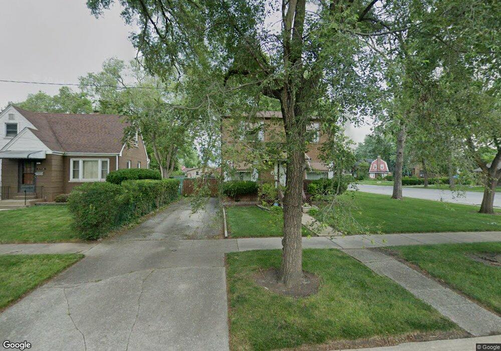
3718 176th Place Lansing, IL 60438
Estimated Value: $200,000 - $252,000
5
Beds
3
Baths
1,782
Sq Ft
$128/Sq Ft
Est. Value
About This Home
This home is located at 3718 176th Place, Lansing, IL 60438 and is currently estimated at $227,760, approximately $127 per square foot. 3718 176th Place is a home located in Cook County with nearby schools including Coolidge Elementary School, Memorial Jr High School, and Thornton Fractnl So High School.
Ownership History
Date
Name
Owned For
Owner Type
Purchase Details
Closed on
Jun 12, 2000
Sold by
Aames Capital Corp
Bought by
Murphy Linda
Current Estimated Value
Home Financials for this Owner
Home Financials are based on the most recent Mortgage that was taken out on this home.
Original Mortgage
$60,375
Outstanding Balance
$21,785
Interest Rate
8.55%
Estimated Equity
$205,975
Purchase Details
Closed on
Mar 3, 2000
Sold by
Kutsenda James M
Bought by
Aames Capital Corp
Purchase Details
Closed on
May 21, 1996
Sold by
Kutsenda James M
Bought by
Kutsenda James M and Kutsenda Sharon R
Home Financials for this Owner
Home Financials are based on the most recent Mortgage that was taken out on this home.
Original Mortgage
$79,600
Interest Rate
8.1%
Create a Home Valuation Report for This Property
The Home Valuation Report is an in-depth analysis detailing your home's value as well as a comparison with similar homes in the area
Home Values in the Area
Average Home Value in this Area
Purchase History
| Date | Buyer | Sale Price | Title Company |
|---|---|---|---|
| Murphy Linda | $80,500 | First American Title | |
| Aames Capital Corp | -- | -- | |
| Kutsenda James M | -- | Equity Title |
Source: Public Records
Mortgage History
| Date | Status | Borrower | Loan Amount |
|---|---|---|---|
| Open | Murphy Linda | $60,375 | |
| Previous Owner | Kutsenda James M | $79,600 |
Source: Public Records
Tax History Compared to Growth
Tax History
| Year | Tax Paid | Tax Assessment Tax Assessment Total Assessment is a certain percentage of the fair market value that is determined by local assessors to be the total taxable value of land and additions on the property. | Land | Improvement |
|---|---|---|---|---|
| 2024 | $7,589 | $19,000 | $3,224 | $15,776 |
| 2023 | $3,949 | $19,000 | $3,224 | $15,776 |
| 2022 | $3,949 | $9,496 | $2,844 | $6,652 |
| 2021 | $3,898 | $9,496 | $2,844 | $6,652 |
| 2020 | $3,751 | $9,496 | $2,844 | $6,652 |
| 2019 | $4,986 | $12,187 | $2,654 | $9,533 |
| 2018 | $4,890 | $12,187 | $2,654 | $9,533 |
| 2017 | $4,972 | $12,187 | $2,654 | $9,533 |
| 2016 | $5,497 | $12,550 | $2,465 | $10,085 |
| 2015 | $5,043 | $12,550 | $2,465 | $10,085 |
| 2014 | $5,001 | $12,550 | $2,465 | $10,085 |
| 2013 | $4,893 | $14,157 | $2,465 | $11,692 |
Source: Public Records
Map
Nearby Homes
- 7624 Forest Ave
- 17517 Shirley Dr
- 17511 Maple Ave
- 17706 Wentworth Ave
- 17611 Bernadine St
- 237 Hollywood Ave
- 17702 Bernadine St
- 248 Adelaide Place
- 7405 Meadow Lane Ave
- 108 Beverly Place
- 17922 State Line Ave
- 3540 Bernice Rd
- 220 173rd St
- 17945 Maple St
- 7937 Forest Ave
- 17244 Wentworth Ave
- 17603 Community St
- 17519 Community St
- 17614 Community St
- 3336 178th St
- 3714 176th Place
- 17610 State Line Ave
- 17615 Maple St
- 17621 Maple St
- 17611 Maple St
- 7611 State Line Ave
- 17600 State Line Ave
- 7617 State Line Ave
- 17607 Maple St
- 3717 176th Place
- 7603 State Line Ave
- 7623 State Line Ave
- 3711 176th Place
- 17601 Maple St
- 17631 Maple St
- 7629 State Line Ave
- 7551 State Line Ave
- 17635 Maple St
- 17545 Maple Ave
- 17646 State Line Ave