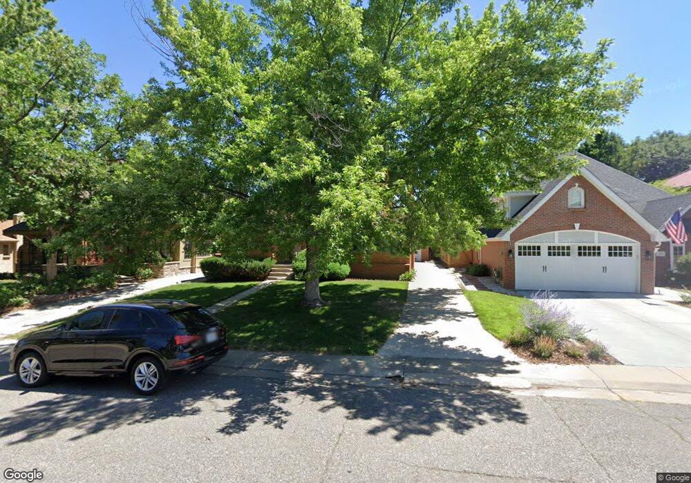
372 Elm St Unit 2472945-88549 Denver, CO 80220
Hilltop NeighborhoodEstimated Value: $2,787,914 - $2,914,000
4
Beds
6
Baths
3,513
Sq Ft
$810/Sq Ft
Est. Value
About This Home
This home is located at 372 Elm St Unit 2472945-88549, Denver, CO 80220 and is currently estimated at $2,846,729, approximately $810 per square foot. 372 Elm St Unit 2472945-88549 is a home located in Denver County with nearby schools including Carson Elementary School, Hill Campus of Arts & Sciences, and George Washington High School.
Ownership History
Date
Name
Owned For
Owner Type
Purchase Details
Closed on
Sep 25, 2023
Sold by
Den21a Llc
Bought by
Genson Bradley S and Genson Dana E
Current Estimated Value
Home Financials for this Owner
Home Financials are based on the most recent Mortgage that was taken out on this home.
Original Mortgage
$500,000
Outstanding Balance
$42,765
Interest Rate
7.09%
Estimated Equity
$2,803,964
Purchase Details
Closed on
Jan 20, 2022
Sold by
Ann Miller Mary
Bought by
Den21a Llc
Create a Home Valuation Report for This Property
The Home Valuation Report is an in-depth analysis detailing your home's value as well as a comparison with similar homes in the area
Home Values in the Area
Average Home Value in this Area
Purchase History
| Date | Buyer | Sale Price | Title Company |
|---|---|---|---|
| Genson Bradley S | $2,800,000 | None Listed On Document | |
| Den21a Llc | $1,000,000 | New Title Company Name |
Source: Public Records
Mortgage History
| Date | Status | Borrower | Loan Amount |
|---|---|---|---|
| Open | Genson Bradley S | $500,000 | |
| Open | Genson Bradley S | $1,740,000 |
Source: Public Records
Tax History Compared to Growth
Tax History
| Year | Tax Paid | Tax Assessment Tax Assessment Total Assessment is a certain percentage of the fair market value that is determined by local assessors to be the total taxable value of land and additions on the property. | Land | Improvement |
|---|---|---|---|---|
| 2024 | $14,941 | $188,650 | $59,090 | $129,560 |
| 2023 | $4,579 | $59,090 | $59,090 | -- |
| 2022 | $3,938 | $49,520 | $41,240 | $8,280 |
| 2021 | $4,163 | $55,790 | $42,430 | $13,360 |
| 2020 | $4,323 | $58,260 | $40,200 | $18,060 |
| 2019 | $4,201 | $58,260 | $40,200 | $18,060 |
| 2018 | $3,237 | $41,840 | $33,730 | $8,110 |
| 2017 | $3,227 | $41,840 | $33,730 | $8,110 |
| 2016 | $2,901 | $35,570 | $29,834 | $5,736 |
| 2015 | $2,779 | $35,570 | $29,834 | $5,736 |
| 2014 | $2,438 | $29,350 | $21,134 | $8,216 |
Source: Public Records
Map
Nearby Homes
- 445 Forest St
- 258 Eudora St
- 235 Eudora St
- 4824 E 6th Avenue Pkwy
- 1421 N Fairfax St
- 444 Cherry St
- 424 Grape St
- 456 Cherry St
- 451 Hudson St
- 5335 E 2nd Ave
- 110 Forest St
- 727 Fairfax St
- 729 Elm St
- 628 Cherry St
- 5530 E 6th Avenue Pkwy
- 838 N Cherry St Unit 2
- 832 N Cherry St Unit 1
- 1182 N Clermont Street Pkwy Unit 101
- 371 Birch St
- 435 Ivanhoe St