Estimated Value: $272,000 - $323,000
4
Beds
2
Baths
1,944
Sq Ft
$152/Sq Ft
Est. Value
About This Home
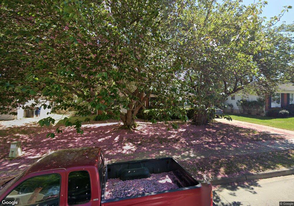
This home is located at 372 Mockingbird Ave, Dover, DE 19904 and is currently estimated at $294,574, approximately $151 per square foot. 372 Mockingbird Ave is a home located in Kent County with nearby schools including W. Reily Brown Elementary School, Fred Fifer Middle School, and Caesar Rodney High School.
Ownership History
Date
Name
Owned For
Owner Type
Purchase Details
Closed on
Apr 29, 2021
Sold by
Hartley Gale R
Bought by
Fox Nicole and Fox Ian
Current Estimated Value
Home Financials for this Owner
Home Financials are based on the most recent Mortgage that was taken out on this home.
Original Mortgage
$182,400
Outstanding Balance
$164,328
Interest Rate
3%
Mortgage Type
New Conventional
Estimated Equity
$130,246
Create a Home Valuation Report for This Property
The Home Valuation Report is an in-depth analysis detailing your home's value as well as a comparison with similar homes in the area
Home Values in the Area
Average Home Value in this Area
Purchase History
| Date | Buyer | Sale Price | Title Company |
|---|---|---|---|
| Fox Nicole | -- | None Available | |
| Fox Nicole | -- | None Listed On Document |
Source: Public Records
Mortgage History
| Date | Status | Borrower | Loan Amount |
|---|---|---|---|
| Open | Fox Nicole | $182,400 | |
| Closed | Fox Nicole | $182,400 |
Source: Public Records
Tax History
| Year | Tax Paid | Tax Assessment Tax Assessment Total Assessment is a certain percentage of the fair market value that is determined by local assessors to be the total taxable value of land and additions on the property. | Land | Improvement |
|---|---|---|---|---|
| 2025 | $992 | $247,300 | $89,300 | $158,000 |
| 2024 | $988 | $247,300 | $89,300 | $158,000 |
| 2023 | $1,112 | $44,100 | $9,700 | $34,400 |
| 2022 | $1,049 | $44,100 | $9,700 | $34,400 |
| 2021 | $1,040 | $44,100 | $9,700 | $34,400 |
| 2020 | $1,023 | $44,100 | $9,700 | $34,400 |
| 2019 | $982 | $44,100 | $9,700 | $34,400 |
| 2018 | $947 | $44,100 | $9,700 | $34,400 |
| 2017 | $919 | $44,100 | $0 | $0 |
| 2016 | $900 | $44,100 | $0 | $0 |
| 2015 | $751 | $44,100 | $0 | $0 |
| 2014 | $749 | $44,100 | $0 | $0 |
Source: Public Records
Map
Nearby Homes
- 361 Kesselring Ave
- 311 Mimosa Ave
- 248 Webbs Ln
- 48 John Collins Cir
- 207 Gunning Bedford Dr
- 272 Gunning Bedford Dr
- 1431 Joshua Clayton Rd
- 1 Edgewood Rd
- 949 Westview Terrace
- 89 Cooper Rd
- 288 Cambridge Rd
- 118 Creek Bend Rd
- 142 Carter Ln
- 511 Little Eden Way
- 22 Howell St
- 135 N Fairfield Dr
- 54 Huntley Cir
- 100 S Shore Dr
- 121 Red Haven Way
- 79 Oakcrest Dr
- 376 Mockingbird Ave
- 368 Mockingbird Ave
- 369 Mimosa Ave
- 365 Mimosa Ave
- 373 Mimosa Ave
- 380 Mockingbird Ave
- 364 Mockingbird Ave
- 371 Mockingbird Ave
- 375 Mockingbird Ave
- 367 Mockingbird Ave
- 377 Mimosa Ave
- 361 Mimosa Ave
- 384 Mockingbird Ave
- 379 Mockingbird Ave
- 363 Mockingbird Ave
- 360 Mockingbird Ave
- 381 Mimosa Ave
- 359 Mimosa Ave
- 383 Mockingbird Ave
- 359 Mockingbird Ave
Your Personal Tour Guide
Ask me questions while you tour the home.