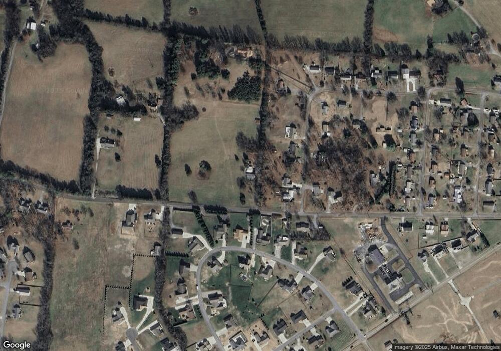
372 Morie Rd Dandridge, TN 37725
Estimated Value: $220,000 - $303,000
--
Bed
2
Baths
1,296
Sq Ft
$201/Sq Ft
Est. Value
About This Home
This home is located at 372 Morie Rd, Dandridge, TN 37725 and is currently estimated at $260,910, approximately $201 per square foot. 372 Morie Rd is a home located in Jefferson County.
Ownership History
Date
Name
Owned For
Owner Type
Purchase Details
Closed on
Sep 15, 2006
Sold by
Boone Cecil D
Bought by
Hawkins James G
Current Estimated Value
Home Financials for this Owner
Home Financials are based on the most recent Mortgage that was taken out on this home.
Original Mortgage
$52,272
Outstanding Balance
$31,134
Interest Rate
6.52%
Estimated Equity
$229,776
Purchase Details
Closed on
Dec 12, 2003
Bought by
Boone Cecil D and Boone Loretta J
Purchase Details
Closed on
Sep 16, 2003
Sold by
Hudchins James D Admin
Bought by
Boone Cecil D and Boone Loretta J
Purchase Details
Closed on
Dec 13, 1996
Sold by
Wesley Johnson J
Bought by
Thelma Lankford
Purchase Details
Closed on
Oct 16, 1992
Bought by
Karin Ii Johnson J and Karin Lee Col
Purchase Details
Closed on
May 20, 1985
Bought by
Myers Richard Lee and Darlene Virgini
Purchase Details
Closed on
May 4, 1984
Create a Home Valuation Report for This Property
The Home Valuation Report is an in-depth analysis detailing your home's value as well as a comparison with similar homes in the area
Home Values in the Area
Average Home Value in this Area
Purchase History
| Date | Buyer | Sale Price | Title Company |
|---|---|---|---|
| Hawkins James G | $95,000 | -- | |
| Boone Cecil D | $82,500 | -- | |
| Boone Cecil D | $82,500 | -- | |
| Thelma Lankford | $64,000 | -- | |
| Karin Ii Johnson J | $55,000 | -- | |
| Myers Richard Lee | -- | -- | |
| -- | -- | -- |
Source: Public Records
Mortgage History
| Date | Status | Borrower | Loan Amount |
|---|---|---|---|
| Open | Not Available | $52,272 |
Source: Public Records
Tax History Compared to Growth
Tax History
| Year | Tax Paid | Tax Assessment Tax Assessment Total Assessment is a certain percentage of the fair market value that is determined by local assessors to be the total taxable value of land and additions on the property. | Land | Improvement |
|---|---|---|---|---|
| 2025 | $385 | $38,025 | $8,275 | $29,750 |
| 2023 | $385 | $16,725 | $0 | $0 |
| 2022 | $366 | $16,725 | $6,475 | $10,250 |
| 2021 | $366 | $16,725 | $6,475 | $10,250 |
| 2020 | $366 | $16,725 | $6,475 | $10,250 |
| 2019 | $366 | $16,725 | $6,475 | $10,250 |
| 2018 | $400 | $17,025 | $6,475 | $10,550 |
| 2017 | $400 | $17,025 | $6,475 | $10,550 |
| 2016 | $400 | $17,025 | $6,475 | $10,550 |
| 2015 | $400 | $17,025 | $6,475 | $10,550 |
| 2014 | $400 | $17,025 | $6,475 | $10,550 |
Source: Public Records
Map
Nearby Homes
- 1018 Southwind Cir
- 1045 Southwind Cir
- 344 Economy Cir
- 136 Crosslake Ln
- 312 Economy Cir
- 417 Little Cove Dr
- 1806 Pheasant Crossing Dr
- 1614 Sams Dr
- 1988 Lakebrook Cir
- 1830 Pheasant Crossing Dr
- 1991 Lakebrook Cir
- 1635 Sams Dr
- 1710 Ferry Hill Rd
- 539 Morie Rd
- 1887 Lakebrook Cir
- 1928 Bouldercrest Dr
- Lots 1&2 Ferry Hill Rd
- 1920 Mountain Lake Dr
- 621 Highway 139
- 626 Briarwood Dr
- 380 Economy Cir
- 376 Economy Cir
- 364 Morie Rd
- 372 Economy Cir
- 1016 Southwind Cir
- 1014 Southwind Cir
- 368 Economy Cir
- 1012 Southwind Cir
- 1020 Southwind Cir
- 359 Morie Rd
- 375 Economy Cir
- 371 Economy Cir
- 356 Morie Rd
- 370 Morie Rd
- 1015 Southwind Cir
- 369 Economy Cir
- 1010 Southwind Cir
- 364 Economy Cir
- 1022 Southwind Cir
- 1023 Southwind Cir
