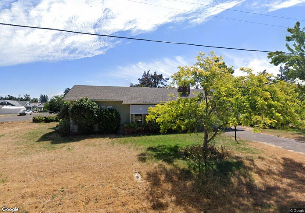
372 N 6th St Creswell, OR 97426
Estimated Value: $346,000 - $401,000
3
Beds
1
Bath
1,318
Sq Ft
$280/Sq Ft
Est. Value
About This Home
This home is located at 372 N 6th St, Creswell, OR 97426 and is currently estimated at $368,880, approximately $279 per square foot. 372 N 6th St is a home located in Lane County with nearby schools including Creslane Elementary School, Creswell Middle School, and Creswell High School.
Ownership History
Date
Name
Owned For
Owner Type
Purchase Details
Closed on
Feb 27, 2018
Sold by
Tharp Gary L and Tharp Family Trust
Bought by
Tharp Gary L
Current Estimated Value
Purchase Details
Closed on
Feb 26, 2018
Sold by
Tharp Gary L and Thrap Family Trust
Bought by
Tharp Gary L
Purchase Details
Closed on
May 11, 2010
Sold by
Tharp Phyllis M
Bought by
Tharp Gary L and The Tharp Family Trust
Purchase Details
Closed on
Jan 8, 2010
Sold by
Tharp Gary Lee
Bought by
Tharp Phyllis M
Create a Home Valuation Report for This Property
The Home Valuation Report is an in-depth analysis detailing your home's value as well as a comparison with similar homes in the area
Home Values in the Area
Average Home Value in this Area
Purchase History
| Date | Buyer | Sale Price | Title Company |
|---|---|---|---|
| Tharp Gary L | -- | None Available | |
| Tharp Gary L | -- | None Listed On Document | |
| Tharp Gary L | -- | None Available | |
| Tharp Phyllis M | $125,000 | None Available |
Source: Public Records
Tax History Compared to Growth
Tax History
| Year | Tax Paid | Tax Assessment Tax Assessment Total Assessment is a certain percentage of the fair market value that is determined by local assessors to be the total taxable value of land and additions on the property. | Land | Improvement |
|---|---|---|---|---|
| 2025 | $2,467 | $150,310 | -- | -- |
| 2024 | $1,845 | $145,933 | -- | -- |
| 2023 | $1,845 | $141,683 | $0 | $0 |
| 2022 | $1,987 | $137,557 | $0 | $0 |
| 2021 | $1,920 | $133,551 | $0 | $0 |
| 2020 | $1,893 | $129,662 | $0 | $0 |
| 2019 | $1,851 | $125,886 | $0 | $0 |
| 2018 | $1,826 | $118,660 | $0 | $0 |
| 2017 | $1,771 | $118,660 | $0 | $0 |
| 2016 | $1,814 | $115,204 | $0 | $0 |
| 2015 | $1,748 | $111,849 | $0 | $0 |
| 2014 | $1,734 | $108,591 | $0 | $0 |
Source: Public Records
Map
Nearby Homes
- 368 Hillegas Ave
- 460 Meadow Ln
- 156 N 1st St
- 589 Mary Neal Ln
- 692 N 1st St
- 689 Blue Jay Loop
- 521 S 7th St
- 1 Queens Ave Unit 1
- 645 Boulder Loop
- 83354 N Pacific Hwy
- 700 N Mill St Unit 109
- 700 N Mill St
- 0 Holbrook Ln Unit 339588620
- 33465 Irish Ln
- 32968 Camas Swale Rd
- 491 Ironwood Loop
- 375 Sunday Dr
- 685 St Andrews Loop
- 316 Sunday Dr
- 336 Sunday Dr