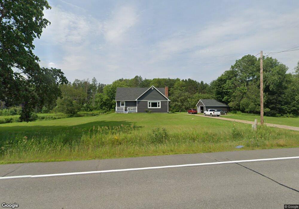
372 Western Ave Hampden, ME 04444
Estimated Value: $342,052 - $441,000
3
Beds
2
Baths
1,647
Sq Ft
$241/Sq Ft
Est. Value
About This Home
This home is located at 372 Western Ave, Hampden, ME 04444 and is currently estimated at $396,763, approximately $240 per square foot. 372 Western Ave is a home located in Penobscot County.
Ownership History
Date
Name
Owned For
Owner Type
Purchase Details
Closed on
Aug 2, 2010
Sold by
Hopkins Susan E
Bought by
Welch Carrie W and Welch Frank J
Current Estimated Value
Home Financials for this Owner
Home Financials are based on the most recent Mortgage that was taken out on this home.
Original Mortgage
$144,060
Outstanding Balance
$94,296
Interest Rate
4.5%
Mortgage Type
FHA
Estimated Equity
$302,467
Create a Home Valuation Report for This Property
The Home Valuation Report is an in-depth analysis detailing your home's value as well as a comparison with similar homes in the area
Home Values in the Area
Average Home Value in this Area
Purchase History
| Date | Buyer | Sale Price | Title Company |
|---|---|---|---|
| Welch Carrie W | -- | -- |
Source: Public Records
Mortgage History
| Date | Status | Borrower | Loan Amount |
|---|---|---|---|
| Open | Welch Carrie W | $144,060 |
Source: Public Records
Tax History Compared to Growth
Tax History
| Year | Tax Paid | Tax Assessment Tax Assessment Total Assessment is a certain percentage of the fair market value that is determined by local assessors to be the total taxable value of land and additions on the property. | Land | Improvement |
|---|---|---|---|---|
| 2025 | $3,763 | $213,210 | $50,520 | $162,690 |
| 2024 | $3,041 | $194,300 | $46,400 | $147,900 |
| 2023 | $3,063 | $159,100 | $38,100 | $121,000 |
| 2022 | $2,939 | $142,000 | $34,400 | $107,600 |
| 2021 | $2,904 | $140,300 | $34,400 | $105,900 |
| 2020 | $2,862 | $140,300 | $34,400 | $105,900 |
| 2019 | $2,785 | $136,500 | $33,400 | $103,100 |
| 2018 | $2,675 | $136,500 | $33,400 | $103,100 |
| 2017 | $2,512 | $136,500 | $33,400 | $103,100 |
| 2016 | $2,475 | $136,000 | $33,000 | $103,000 |
| 2015 | $2,380 | $136,000 | $33,000 | $103,000 |
| 2014 | $2,389 | $136,500 | $33,400 | $103,100 |
| 2013 | $2,273 | $136,500 | $33,400 | $103,100 |
Source: Public Records
Map
Nearby Homes
- 0 Western Ave Unit 21258039
- 338 Western Ave
- 327 Western Ave
- 45 Hughes Blvd
- 42 Patterson Rd
- 164 Mayo Rd
- 128 Mayo Rd Unit K
- 0 Constitution
- 52 Johns Way
- 73 Papermill Rd
- 9 Patterson Rd
- 275 Kennebec Rd
- 0 Rt 1a (Honey Hill Estates) Unit Lot 7
- 0 Rt 1a (Honey Hill Estates) Unit Lot 19
- 0 Rt 1a (Honey Hill Estates) Unit Lot 2
- 0 Rt 1a (Honey Hill Estates) Unit Lot 10
- TBD Western Ave
- 747 Western Ave
- 7 Summer St
- 25 Summer St
- 9 Hughes Blvd
- 358 Western Ave
- 375 Western Ave
- 381 Western Ave
- 387 Western Ave
- 4 Town Farm Rd
- 0 Western Ave Unit 480995
- 0 Western Ave Unit 216520
- 0 Western Ave Unit 1571189
- 0 Western Ave Unit 600893
- 0 Western Ave Unit 535669
- 0 Western Ave Unit 261962
- 0 Western Ave Unit 480973
- 0 Western Ave Unit 214448
- 0 Western Ave Unit 1445552
- 381 375 Western
- 13 Town Farm Rd
- 346 Western Ave
- 20 Town Farm Rd
- 5 Town Farm Rd