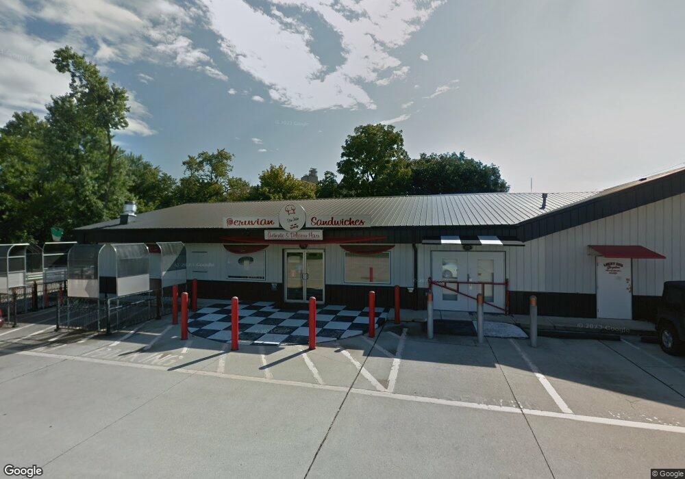
3720 E Raymond St Indianapolis, IN 46203
Near Southeast Neighborhood
--
Bed
--
Bath
7,904
Sq Ft
1.42
Acres
About This Home
This home is located at 3720 E Raymond St, Indianapolis, IN 46203. 3720 E Raymond St is a home located in Marion County with nearby schools including Paul I. Miller School No. 114, Eleanor Skillen School No. 34, and Ralph Waldo Emerson School 58.
Ownership History
Date
Name
Owned For
Owner Type
Purchase Details
Closed on
Aug 6, 2015
Sold by
K & T Barrett Properties Llc
Bought by
Lucky Dog Properties Llc
Home Financials for this Owner
Home Financials are based on the most recent Mortgage that was taken out on this home.
Original Mortgage
$50,000
Interest Rate
4.03%
Mortgage Type
Future Advance Clause Open End Mortgage
Purchase Details
Closed on
Apr 29, 2005
Sold by
Barrett Thomas H and Barrett Karen R
Bought by
K & T Barrett Properties Llc
Create a Home Valuation Report for This Property
The Home Valuation Report is an in-depth analysis detailing your home's value as well as a comparison with similar homes in the area
Home Values in the Area
Average Home Value in this Area
Purchase History
| Date | Buyer | Sale Price | Title Company |
|---|---|---|---|
| Lucky Dog Properties Llc | -- | First American Title | |
| K & T Barrett Properties Llc | -- | None Available |
Source: Public Records
Mortgage History
| Date | Status | Borrower | Loan Amount |
|---|---|---|---|
| Previous Owner | Lucky Dog Properties Llc | $50,000 |
Source: Public Records
Tax History Compared to Growth
Tax History
| Year | Tax Paid | Tax Assessment Tax Assessment Total Assessment is a certain percentage of the fair market value that is determined by local assessors to be the total taxable value of land and additions on the property. | Land | Improvement |
|---|---|---|---|---|
| 2024 | $9,841 | $329,300 | $128,000 | $201,300 |
| 2023 | $9,841 | $329,300 | $128,000 | $201,300 |
| 2022 | $10,524 | $329,300 | $128,000 | $201,300 |
| 2021 | $10,279 | $324,200 | $116,400 | $207,800 |
| 2020 | $10,240 | $324,200 | $116,400 | $207,800 |
| 2019 | $10,871 | $340,200 | $116,400 | $223,800 |
| 2018 | $11,169 | $340,200 | $116,400 | $223,800 |
| 2017 | $9,974 | $333,000 | $116,400 | $216,600 |
| 2016 | $9,490 | $343,400 | $116,400 | $227,000 |
| 2014 | $16,857 | $577,100 | $145,800 | $431,300 |
| 2013 | $17,053 | $577,100 | $145,800 | $431,300 |
Source: Public Records
Map
Nearby Homes
- 1927 Wagner Ln
- 2052 Nolan Ave
- 3603 Margaret Ave
- 1544 Perkins Ave
- 1902 S Grant Ave
- 1842 Carpenter Cir
- 1649 S Sherman Dr
- 1701 Southern Ave
- 1601 Southern Ave
- 3139 E Minnesota St
- 1614 Capra Ct
- 1115 Bethel Ave
- 1617 Capra Ct
- 437 N 13th Ave
- 1549 S Rural St
- 3025 E Minnesota St
- 349 N 17th Ave
- 362 N 14th Ave
- 2021 Prospect St
- 2602 S Oxford St
- 3792 E Raymond St
- 3702 E Raymond St
- 3672 E Raymond St
- 3672 E Raymond St
- 2120 S Sherman Dr
- 3755 E Raymond St Unit B
- 3755 E Raymond St
- 2116 S Sherman Dr
- 2141 Wagner Ln
- 3672 Bethel Ave
- 2201 S Sherman Dr
- 3727 Calhoun St
- 2110 S Sherman Dr
- 3701 Calhoun St
- 2127 Wagner Ln
- 3703 Calhoun St
- 2133 Wagner Ln
- 2121 Wagner Ln
- 2106 S Sherman Dr
- 2115 Wagner Ln