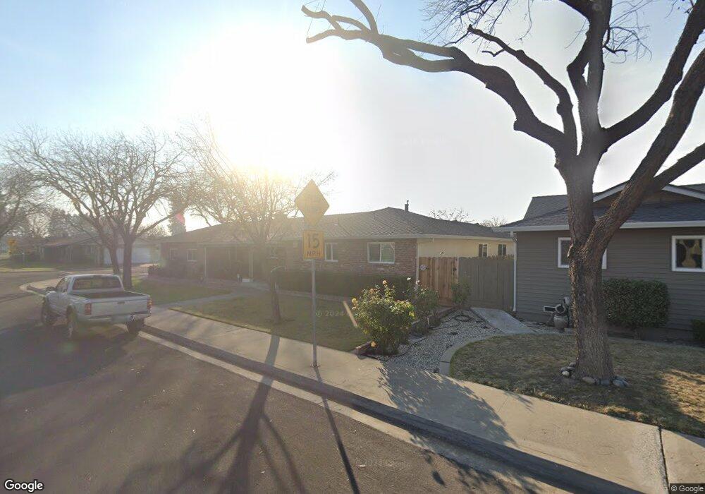
3721 Columbine Dr Modesto, CA 95356
Central Modesto NeighborhoodEstimated Value: $481,850 - $529,000
About This Home
This home is located at 3721 Columbine Dr, Modesto, CA 95356 and is currently estimated at $508,463, approximately $291 per square foot. 3721 Columbine Dr is a home located in Stanislaus County with nearby schools including Woodrow Elementary School, Somerset Middle School, and Grace M. Davis High School.
Ownership History
We collect this data history from publicly available records. To have your information removed, we recommend requesting removal directly through your county’s website.
Purchase Details
Purchase Details
Home Values in the Area
Average Home Value in this Area
Purchase History
We collect this data history from publicly available records. To have your information removed, we recommend requesting removal directly through your county’s website.
| Date | Buyer | Sale Price | Title Company |
|---|---|---|---|
| -- | -- | ||
| -- | First American Title Co |
Tax History
We collect this data history from publicly available records. To have your information removed, we recommend requesting removal directly through your county’s website.
| Year | Tax Paid | Tax Assessment Tax Assessment Total Assessment is a certain percentage of the fair market value that is determined by local assessors to be the total taxable value of land and additions on the property. | Land | Improvement |
|---|---|---|---|---|
| 2025 | $1,080 | $104,763 | $19,539 | $85,224 |
| 2024 | $1,059 | $102,709 | $19,156 | $83,553 |
| 2023 | $1,038 | $100,696 | $18,781 | $81,915 |
| 2022 | $994 | $98,722 | $18,413 | $80,309 |
| 2021 | $975 | $96,787 | $18,052 | $78,735 |
| 2020 | $960 | $95,795 | $17,867 | $77,928 |
| 2019 | $941 | $93,917 | $17,517 | $76,400 |
| 2018 | $921 | $92,076 | $17,174 | $74,902 |
| 2017 | $898 | $90,272 | $16,838 | $73,434 |
| 2016 | $891 | $88,503 | $16,508 | $71,995 |
| 2015 | $877 | $87,175 | $16,261 | $70,914 |
| 2014 | $872 | $85,468 | $15,943 | $69,525 |
Map
- 604 W Union Ave
- 3904 Trillium Ave
- 325 Standiford Ave Unit 29
- 3848 Semallon Dr
- 832 Pennington Place
- 4125 Mchenry Ave Unit 69
- 4125 Mchenry Ave Unit 18
- 4125 Mchenry Ave Unit 35
- 4024 Mchenry Ave Unit 63
- 4024 Mchenry Ave Unit 119
- 317 Dorado Ln
- 304 Cassidy Ct
- 3832 Moorea Dr
- 3701 Colonial Dr Unit 159
- 3701 Colonial Dr Unit 89
- 3701 Colonial Dr Unit 197
- 3701 Colonial Dr Unit 36
- 107 Schooner Ln
- 200 Greenwich Ln
- 3700 Tully Rd Unit 5
- 604 Violet St
- 3725 Columbine Dr
- 608 Violet St
- 605 Mayflower St
- 609 Mayflower St
- 612 Violet St
- 605 Violet St
- 601 Violet St
- 609 Violet St
- 613 Mayflower St
- 616 Violet St
- 3728 Columbine Dr
- 613 Violet St
- 3800 Columbine Dr
- 617 Mayflower St
- 3720 Columbine Dr
- 604 Mayflower St
- 3713 Columbine Dr
- 608 Mayflower St
- 600 W Union Ave
Ask me questions while you tour the home.