Estimated Value: $1,177,000 - $1,624,000
4
Beds
5
Baths
3,873
Sq Ft
$372/Sq Ft
Est. Value
About This Home
This home is located at 37225 Broadstone Dr, Solon, OH 44139 and is currently estimated at $1,441,076, approximately $372 per square foot. 37225 Broadstone Dr is a home with nearby schools including Orchard Middle School, Solon Middle School, and Solon High School.
Ownership History
Date
Name
Owned For
Owner Type
Purchase Details
Closed on
Apr 14, 2021
Sold by
Kuchar Limited Liability Company
Bought by
Anderson Rex K and Anderson Gabrielle Sarah
Current Estimated Value
Home Financials for this Owner
Home Financials are based on the most recent Mortgage that was taken out on this home.
Original Mortgage
$912,158
Outstanding Balance
$828,545
Interest Rate
3.05%
Mortgage Type
Construction
Estimated Equity
$612,531
Purchase Details
Closed on
Jan 18, 2021
Sold by
Prestige & Premier Companies
Bought by
Kuchar Limited Liability Company
Create a Home Valuation Report for This Property
The Home Valuation Report is an in-depth analysis detailing your home's value as well as a comparison with similar homes in the area
Home Values in the Area
Average Home Value in this Area
Purchase History
| Date | Buyer | Sale Price | Title Company |
|---|---|---|---|
| Anderson Rex K | $229,900 | The Fireland Title Gro | |
| Kuchar Limited Liability Company | $210,000 | The Fireland Title Grc |
Source: Public Records
Mortgage History
| Date | Status | Borrower | Loan Amount |
|---|---|---|---|
| Open | Anderson Rex K | $912,158 |
Source: Public Records
Tax History
| Year | Tax Paid | Tax Assessment Tax Assessment Total Assessment is a certain percentage of the fair market value that is determined by local assessors to be the total taxable value of land and additions on the property. | Land | Improvement |
|---|---|---|---|---|
| 2024 | $27,019 | $483,490 | $71,225 | $412,265 |
| 2023 | $26,776 | $392,000 | $68,810 | $323,190 |
| 2022 | $17,250 | $253,050 | $68,810 | $184,240 |
| 2021 | $4,641 | $68,810 | $68,810 | $0 |
| 2020 | $4,974 | $67,450 | $67,450 | $0 |
| 2019 | $4,820 | $192,700 | $192,700 | $0 |
| 2018 | $4,327 | $67,450 | $67,450 | $0 |
| 2017 | $4,367 | $64,330 | $64,330 | $0 |
| 2016 | $4,327 | $64,330 | $64,330 | $0 |
| 2015 | $4,194 | $64,330 | $64,330 | $0 |
| 2014 | $4,194 | $60,130 | $60,130 | $0 |
Source: Public Records
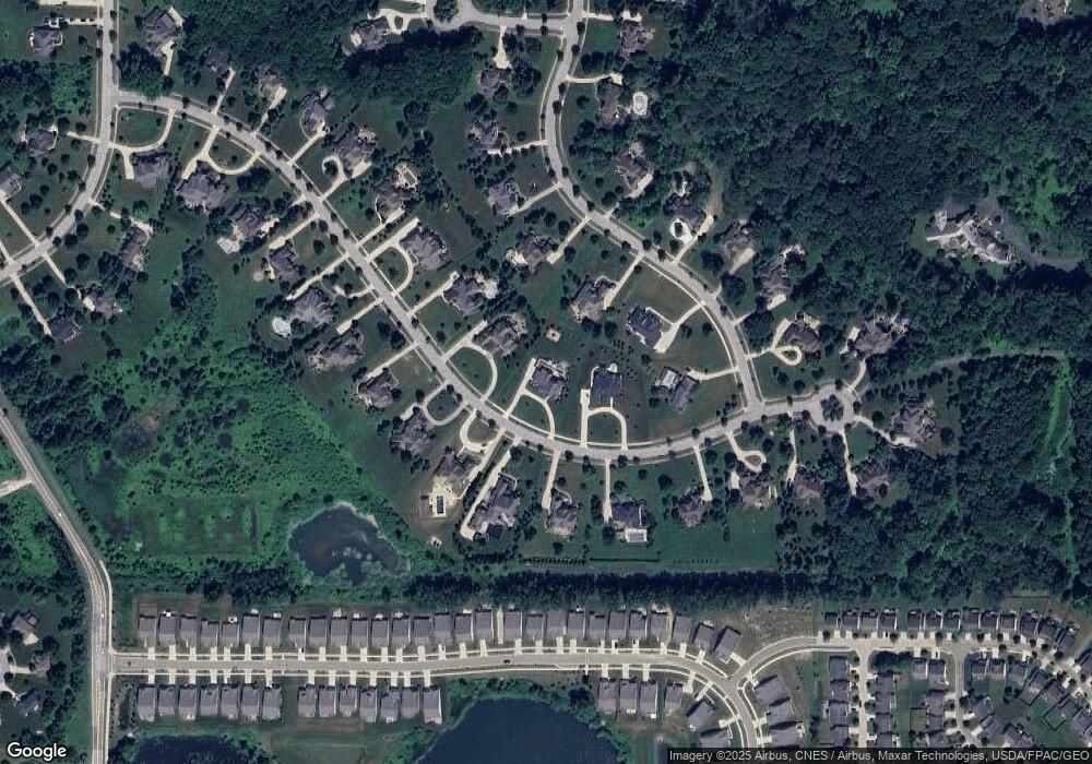
Map
Nearby Homes
- 3082 Willowbrook Dr
- 7370 Stockwood Dr
- 11241 Stanley Ln
- 10373 Glenway Dr Unit 202
- 7368 Royal Portrush Dr
- 7268 Annadale Dr
- 36965 Wexford Dr
- 10265 Beaver Trail
- 10564 Herrington Dr
- 36725 Pettibone Rd
- 38325 Pettibone Rd
- V/L 3-31 Willow St
- 3564 Shady Timber Dr
- 3659 Shady Timber Dr
- 38655 Pettibone Rd
- 3660 Ivy Ct
- 10453 Dogwood Dr
- 2975 Waterford Dr Unit 5
- 39600 Aurora Rd
- 3784 Firethorn Dr
- 37175 Broadstone Dr
- 37275 Broadstone Dr
- 7616 Worlington Dr
- 37125 Broadstone Dr
- 7634 Worlington Dr
- 7604 Worlington Dr
- 37190 Broadstone Dr
- 37150 Broadstone Dr
- 7644 Worlington Dr
- 37110 Broadstone Dr
- 37070 Broadstone Dr
- 37230 Broadstone Dr
- 37030 Broadstone Dr
- 37075 Broadstone Dr
- 37270 Broadstone Dr
- 7582 Worlington Dr
- 36990 Broadstone Dr
- 7561 Worlington Dr
- 37330 Broadstone Dr
- 7583 Worlington Dr
Your Personal Tour Guide
Ask me questions while you tour the home.