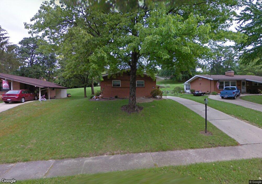
3726 Belfast Ave Cincinnati, OH 45236
Estimated Value: $286,000 - $390,000
3
Beds
3
Baths
1,822
Sq Ft
$181/Sq Ft
Est. Value
About This Home
This home is located at 3726 Belfast Ave, Cincinnati, OH 45236 and is currently estimated at $329,753, approximately $180 per square foot. 3726 Belfast Ave is a home located in Hamilton County with nearby schools including Amity Elementary School, Deer Park Jr/Sr High School, and Ohr Torah Cincinnati.
Ownership History
Date
Name
Owned For
Owner Type
Purchase Details
Closed on
Dec 8, 2025
Sold by
Nebiolo Aldo and Nebiolo Judith Helen
Bought by
Aldo And Judith Nebiolo Family Trust and Nebiolo
Current Estimated Value
Purchase Details
Closed on
Jul 20, 2010
Sold by
Pruent Gina M
Bought by
Nebiolo Aldo and Johnston Nebiolo Judith Helen
Purchase Details
Closed on
Feb 18, 2004
Sold by
Greer Donald L and Greer Joyce L
Bought by
Pruent Gina M
Home Financials for this Owner
Home Financials are based on the most recent Mortgage that was taken out on this home.
Original Mortgage
$145,389
Interest Rate
5.74%
Mortgage Type
Unknown
Create a Home Valuation Report for This Property
The Home Valuation Report is an in-depth analysis detailing your home's value as well as a comparison with similar homes in the area
Home Values in the Area
Average Home Value in this Area
Purchase History
We collect this data history from publicly available records. To have your information removed, we recommend requesting removal directly through your county’s website.
| Date | Buyer | Sale Price | Title Company |
|---|---|---|---|
| Aldo And Judith Nebiolo Family Trust | -- | None Listed On Document | |
| Nebiolo Aldo | $165,000 | Attorney | |
| Pruent Gina M | $159,000 | -- |
Source: Public Records
Mortgage History
We collect this data history from publicly available records. To have your information removed, we recommend requesting removal directly through your county’s website.
| Date | Status | Borrower | Loan Amount |
|---|---|---|---|
| Previous Owner | Pruent Gina M | $145,389 |
Source: Public Records
Tax History
| Year | Tax Paid | Tax Assessment Tax Assessment Total Assessment is a certain percentage of the fair market value that is determined by local assessors to be the total taxable value of land and additions on the property. | Land | Improvement |
|---|---|---|---|---|
| 2025 | $3,996 | $74,638 | $13,601 | $61,037 |
| 2024 | $3,476 | $74,638 | $13,601 | $61,037 |
| 2023 | $3,586 | $74,638 | $13,601 | $61,037 |
| 2022 | $3,324 | $55,496 | $11,893 | $43,603 |
| 2021 | $3,242 | $55,496 | $11,893 | $43,603 |
| 2020 | $2,967 | $55,496 | $11,893 | $43,603 |
| 2019 | $2,809 | $48,682 | $10,434 | $38,248 |
| 2018 | $2,811 | $48,682 | $10,434 | $38,248 |
| 2017 | $2,652 | $48,682 | $10,434 | $38,248 |
| 2016 | $3,214 | $56,596 | $10,749 | $45,847 |
| 2015 | $2,988 | $56,596 | $10,749 | $45,847 |
| 2014 | $2,991 | $56,596 | $10,749 | $45,847 |
| 2013 | $3,098 | $57,750 | $10,969 | $46,781 |
Source: Public Records
Map
Nearby Homes
- 3746 Belfast Ave
- 9007 Rolling Ln
- 3635 Donegal Dr
- 8560 Donegal Dr
- 4073 Mantell Ave
- 1344 Fuhrman Rd
- 4053 Belfast Ave
- 2602 Hunt Rd
- 4153 Larchview Dr
- 3345 Longmeadow Ln
- 8474 Donna Ln
- 8454 Donna Ln
- 3647 E Galbraith Rd
- 1278 Sanborn Ct
- 8468 Plainfield Rd
- 4105 Myrtle Ave
- 1119 Alwil Dr
- 3622 Lobelia Dr
- 7808 Colton Ln
- 3558 Lobelia Dr
- 3720 Belfast Ave
- 3732 Belfast Ave
- 3740 Belfast Ave
- 3712 Belfast Ave
- 3661 Glengary Ln
- 3673 Glengary Ln
- 3681 Glengary Ln
- 3653 Glengary Ln
- 3706 Belfast Ave
- 3733 Belfast Ave
- 3727 Belfast Ave
- 3721 Belfast Ave
- 3752 Belfast Ave
- 3695 Glengary Ln
- 8699 Glenburney Ct
- 3653 Glengary Ave
- 3645 Glengary Ln
- 3713 Belfast Ave
- 3709 Belfast Ave
- 3703 Belfast Ave
Your Personal Tour Guide
Ask me questions while you tour the home.