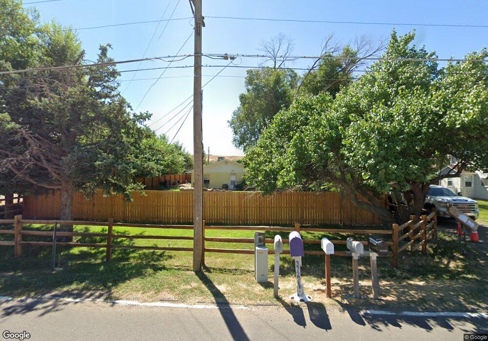
3727 G Rd Palisade, CO 81526
Estimated Value: $448,000 - $1,165,000
3
Beds
2
Baths
1,876
Sq Ft
$353/Sq Ft
Est. Value
About This Home
This home is located at 3727 G Rd, Palisade, CO 81526 and is currently estimated at $661,575, approximately $352 per square foot. 3727 G Rd is a home located in Mesa County with nearby schools including Taylor Elementary School, Mount Garfield Middle School, and Palisade High School.
Ownership History
Date
Name
Owned For
Owner Type
Purchase Details
Closed on
Mar 29, 2024
Sold by
Sauvage Kaibab S and Sauvage Natasha M
Bought by
Sauvage Kaibab S and Sauvage Natasha M
Current Estimated Value
Purchase Details
Closed on
Aug 12, 2013
Sold by
Horn Cirrue H
Bought by
Horn Cirrue H
Purchase Details
Closed on
Jan 20, 2006
Sold by
Evans Catherine
Bought by
Horn Michael A
Purchase Details
Closed on
Jul 27, 1998
Sold by
Stocking Earl Eugene Stocking Emma Louise
Bought by
Horn Michael A
Home Financials for this Owner
Home Financials are based on the most recent Mortgage that was taken out on this home.
Original Mortgage
$133,200
Interest Rate
7.05%
Purchase Details
Closed on
Mar 8, 1994
Sold by
Town Of Palisade
Bought by
Horn Cirrue H
Purchase Details
Closed on
Jan 4, 1994
Sold by
Stocking Earl Eugene
Bought by
Horn Cirrue H
Create a Home Valuation Report for This Property
The Home Valuation Report is an in-depth analysis detailing your home's value as well as a comparison with similar homes in the area
Home Values in the Area
Average Home Value in this Area
Purchase History
| Date | Buyer | Sale Price | Title Company |
|---|---|---|---|
| Sauvage Kaibab S | -- | None Listed On Document | |
| Horn Cirrue H | -- | None Available | |
| Horn Michael A | $70,000 | None Available | |
| Horn Michael A | $148,000 | -- | |
| Horn Cirrue H | -- | -- | |
| Horn Cirrue H | -- | -- |
Source: Public Records
Mortgage History
| Date | Status | Borrower | Loan Amount |
|---|---|---|---|
| Previous Owner | Horn Michael A | $133,200 |
Source: Public Records
Tax History
| Year | Tax Paid | Tax Assessment Tax Assessment Total Assessment is a certain percentage of the fair market value that is determined by local assessors to be the total taxable value of land and additions on the property. | Land | Improvement |
|---|---|---|---|---|
| 2024 | $1,311 | $21,310 | $1,510 | $19,800 |
| 2023 | $1,311 | $21,310 | $1,510 | $19,800 |
| 2022 | $1,402 | $22,430 | $1,170 | $21,260 |
| 2021 | $1,420 | $23,190 | $1,290 | $21,900 |
| 2020 | $1,347 | $22,590 | $1,040 | $21,550 |
| 2019 | $1,289 | $22,590 | $1,040 | $21,550 |
| 2018 | $1,475 | $23,840 | $1,370 | $22,470 |
| 2017 | $1,446 | $23,840 | $1,370 | $22,470 |
| 2016 | $918 | $19,090 | $1,100 | $17,990 |
| 2015 | $927 | $19,090 | $1,100 | $17,990 |
| 2014 | $542 | $10,730 | $790 | $9,940 |
Source: Public Records
Map
Nearby Homes
- 810 Elberta Ave
- 846 Cabernet Dr
- 818 Elberta Ave
- 702 37 1 10 Rd
- 730 Fairhaven Rd
- 830 Lincoln Ct
- 827 Lincoln Ct
- 845 Logan St
- 602 Elberta Ave
- 532 Crawford Ln
- 317 W 8th St Unit 20
- 317 W 8th St Unit 9
- 317 W 8th St Unit 34
- 679 Brentwood Dr Unit 2
- 679 Brentwood Dr Unit 7
- 3781 Granada Dr Unit 4
- 3781 Granada Dr Unit 3
- 3781 Granada Dr Unit 29
- 508 Main St
- 122 W 5th St
- 3727 G Rd
- 3725 G Rd
- 0 Drive Unit 5681996
- 0 Drive Unit 9139424
- 3733 1/4 G Rd
- 3733 G Rd
- 3733 G Rd
- 3733 1/8 G Rd
- 811 Montclair Dr
- 813 Montclair Dr
- 807 Montclair Dr
- 805 Montclair Dr
- 819 Montclair Dr
- 823 Montclair Dr
- 825 Montclair Dr
- 806 Elberta Ave
- 806 Elberta Dr
- 3735 G Rd
- 818 Montclair Dr
- 831 Montclair Dr
Your Personal Tour Guide
Ask me questions while you tour the home.