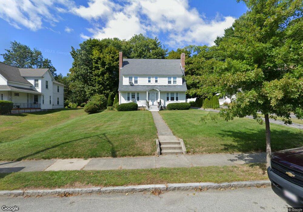
373 May St Worcester, MA 01602
Tatnuck NeighborhoodEstimated Value: $613,000 - $749,000
6
Beds
4
Baths
2,389
Sq Ft
$280/Sq Ft
Est. Value
About This Home
This home is located at 373 May St, Worcester, MA 01602 and is currently estimated at $668,260, approximately $279 per square foot. 373 May St is a home located in Worcester County with nearby schools including Chandler Magnet, Tatnuck Magnet School, and Jacob Hiatt Magnet School.
Ownership History
Date
Name
Owned For
Owner Type
Purchase Details
Closed on
Mar 15, 2021
Sold by
Macricostas Stacie A
Bought by
Macricostas Stacie A and Goodwin Michael D
Current Estimated Value
Home Financials for this Owner
Home Financials are based on the most recent Mortgage that was taken out on this home.
Original Mortgage
$207,000
Outstanding Balance
$166,791
Interest Rate
2.73%
Mortgage Type
New Conventional
Estimated Equity
$501,469
Purchase Details
Closed on
May 20, 2004
Sold by
Kneeland Nancy
Bought by
Macricostas Stacie A
Home Financials for this Owner
Home Financials are based on the most recent Mortgage that was taken out on this home.
Original Mortgage
$268,000
Interest Rate
5.75%
Mortgage Type
Purchase Money Mortgage
Purchase Details
Closed on
Apr 29, 2004
Sold by
Oleary Anne and Kneeland Philip R
Bought by
Kneeland Nancy
Home Financials for this Owner
Home Financials are based on the most recent Mortgage that was taken out on this home.
Original Mortgage
$268,000
Interest Rate
5.75%
Mortgage Type
Purchase Money Mortgage
Create a Home Valuation Report for This Property
The Home Valuation Report is an in-depth analysis detailing your home's value as well as a comparison with similar homes in the area
Home Values in the Area
Average Home Value in this Area
Purchase History
| Date | Buyer | Sale Price | Title Company |
|---|---|---|---|
| Macricostas Stacie A | -- | None Available | |
| Macricostas Stacie A | $335,000 | -- | |
| Macricostas Stacie A | $335,000 | -- | |
| Kneeland Nancy | -- | -- | |
| Kneeland Nancy | -- | -- |
Source: Public Records
Mortgage History
| Date | Status | Borrower | Loan Amount |
|---|---|---|---|
| Open | Macricostas Stacie A | $207,000 | |
| Previous Owner | Kneeland Nancy | $278,000 | |
| Previous Owner | Macricostas Stacie A | $268,000 |
Source: Public Records
Tax History
| Year | Tax Paid | Tax Assessment Tax Assessment Total Assessment is a certain percentage of the fair market value that is determined by local assessors to be the total taxable value of land and additions on the property. | Land | Improvement |
|---|---|---|---|---|
| 2025 | $7,343 | $556,700 | $119,400 | $437,300 |
| 2024 | $7,134 | $518,800 | $119,400 | $399,400 |
| 2023 | $6,492 | $452,700 | $103,800 | $348,900 |
| 2022 | $6,569 | $431,900 | $83,000 | $348,900 |
| 2021 | $5,438 | $334,000 | $66,400 | $267,600 |
| 2020 | $4,711 | $277,100 | $66,300 | $210,800 |
| 2019 | $4,709 | $261,600 | $60,000 | $201,600 |
| 2018 | $4,845 | $256,200 | $60,000 | $196,200 |
| 2017 | $4,868 | $253,300 | $60,000 | $193,300 |
| 2016 | $4,757 | $230,800 | $45,400 | $185,400 |
| 2015 | $4,632 | $230,800 | $45,400 | $185,400 |
| 2014 | $4,510 | $230,800 | $45,400 | $185,400 |
Source: Public Records
Map
Nearby Homes
- 19 Kenilworth Rd
- 16 Sherwood Rd
- 12 Cardinal Rd
- 1029 Pleasant St Unit 19
- 31 Lenox St
- 47R Yarnie Unit 3A
- 47R Yarnie Unit 1B
- 47R Yarnie Unit 2B
- 47R Yarnie Unit 4B
- 47R Yarnie Unit 8B
- 47R Yarnie Unit 5A
- 47R Yarnie Unit 6B
- 47R Yarnie Unit 4A
- 47R Yarnie Unit 1A
- 47R Yarnie Unit 9
- 47R Yarnie Unit 8A
- 47R Yarnie Unit 6A
- 47R Yarnie Unit 7A
- 47R Yarnie Unit 5B
- 47R Yarnie Unit 2A
- 373 May St Unit 1
- 377 May St
- 371 May St
- 93 Moore Ave
- 91 Moore Ave
- 93 Moore Ave Unit 93
- 93 Moore Ave Unit 6
- 381 May St
- 83 Moore Ave
- 83-93 Moore Ave Unit 93
- 83-93 Moore Ave Unit 87
- 83-93 Moore Ave Unit 89
- 83-93 Moore Ave Unit 91
- 83-93 Moore Ave
- 83 Moore Ave Unit 83
- 83 Moore Ave Unit 93
- 89 Moore Ave
- 87 Moore Ave
- 87 Moore Ave Unit 87
- 89 Moore Ave Unit 89
Your Personal Tour Guide
Ask me questions while you tour the home.