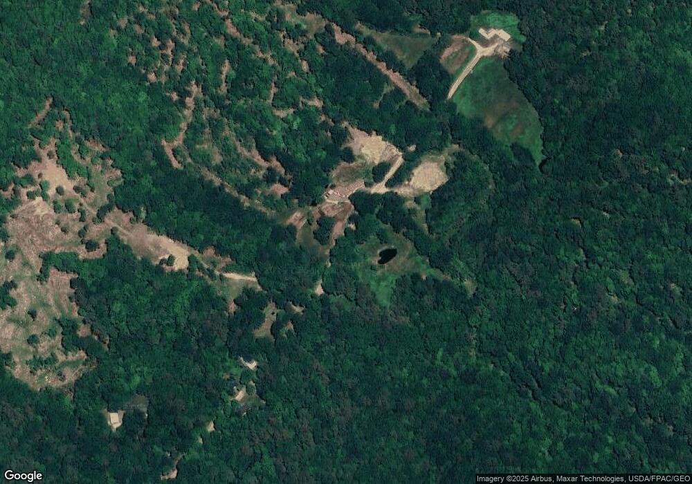
373 Scarboro Rd Unit Map 14/lot 67 & Map Freedom, NH 03836
Estimated Value: $764,000 - $820,000
3
Beds
4
Baths
3,745
Sq Ft
$214/Sq Ft
Est. Value
About This Home
This home is located at 373 Scarboro Rd Unit Map 14/lot 67 & Map, Freedom, NH 03836 and is currently estimated at $800,392, approximately $213 per square foot. 373 Scarboro Rd Unit Map 14/lot 67 & Map is a home located in Carroll County with nearby schools including Freedom Elementary School.
Ownership History
Date
Name
Owned For
Owner Type
Purchase Details
Closed on
Feb 28, 2025
Sold by
Timothy J G Kennely T J and Timothy Gerard
Bought by
Osullivan Lawrence and Osullivan Michelle
Current Estimated Value
Home Financials for this Owner
Home Financials are based on the most recent Mortgage that was taken out on this home.
Original Mortgage
$262,500
Outstanding Balance
$261,200
Interest Rate
7.04%
Mortgage Type
Purchase Money Mortgage
Estimated Equity
$539,192
Purchase Details
Closed on
Jun 28, 2006
Sold by
Mcgarvey Christopher H
Bought by
Kennedy Timothy Jg
Create a Home Valuation Report for This Property
The Home Valuation Report is an in-depth analysis detailing your home's value as well as a comparison with similar homes in the area
Home Values in the Area
Average Home Value in this Area
Purchase History
| Date | Buyer | Sale Price | Title Company |
|---|---|---|---|
| Osullivan Lawrence | $750,000 | None Available | |
| Osullivan Lawrence | $750,000 | None Available | |
| Kennedy Timothy Jg | $160,000 | -- | |
| Kennedy Timothy Jg | $160,000 | -- |
Source: Public Records
Mortgage History
| Date | Status | Borrower | Loan Amount |
|---|---|---|---|
| Open | Osullivan Lawrence | $262,500 | |
| Closed | Osullivan Lawrence | $262,500 |
Source: Public Records
Tax History Compared to Growth
Tax History
| Year | Tax Paid | Tax Assessment Tax Assessment Total Assessment is a certain percentage of the fair market value that is determined by local assessors to be the total taxable value of land and additions on the property. | Land | Improvement |
|---|---|---|---|---|
| 2024 | $6,339 | $882,935 | $131,435 | $751,500 |
| 2023 | $6,547 | $596,255 | $48,455 | $547,800 |
| 2022 | $4,523 | $442,168 | $48,568 | $393,600 |
| 2021 | $4,801 | $442,516 | $48,916 | $393,600 |
| 2020 | $4,721 | $442,489 | $48,889 | $393,600 |
| 2019 | $4,117 | $303,604 | $50,704 | $252,900 |
| 2018 | $3,926 | $303,669 | $50,769 | $252,900 |
| 2016 | $3,824 | $303,518 | $50,618 | $252,900 |
| 2015 | $3,854 | $318,542 | $56,142 | $262,400 |
| 2014 | $3,887 | $318,638 | $58,038 | $260,600 |
| 2013 | $3,942 | $318,972 | $58,372 | $260,600 |
Source: Public Records
Map
Nearby Homes
- Lot 10 Friedman
- 118 Pound Round Rd
- 118 Round Pond Rd
- TBD Towle Hill Rd
- 187 Huntress Bridge Rd
- MU16L23b East Ln
- 0 Willis Bean Unit 5006353
- 1108 Ossipee Trail
- 185 Huntress Bridge Rd
- 2,4,6 Willis Bean Rd
- 492 Moses Chapman Rd
- 78 School St
- 62 Eastman Hill Rd
- 00 Pratt Rd
- 50 Milford Ave
- Lot 3 Parsons Rd
- Lots 0-4 Parsons Rd
- Lot 2 Parsons Rd
- Lot 4 Parsons Rd
- Lot 1 Parsons Rd
- 373 Scarboro Rd
- 349 Scarboro Rd
- 22 Scarboro
- 338 Scarboro Rd
- 339 Scarboro Rd
- 307 Scarboro Rd
- 399 Scarboro Rd
- 262 Scarboro Rd
- 220 Durgin Hill Rd
- 255 Scarboro Rd
- 248 Durgin Hill Rd
- 231 Scarboro Rd
- 217 Durgin Hill Rd
- 265 Durgin Hill Rd
- 180 Durgin Hill Rd
- 249 Durgin Hill Rd
- Lot 26.2 Scarboro Rd
- 203 Scarboro Rd
- 294 Durgin Hill Rd
- 174 Durgin Hill Rd
