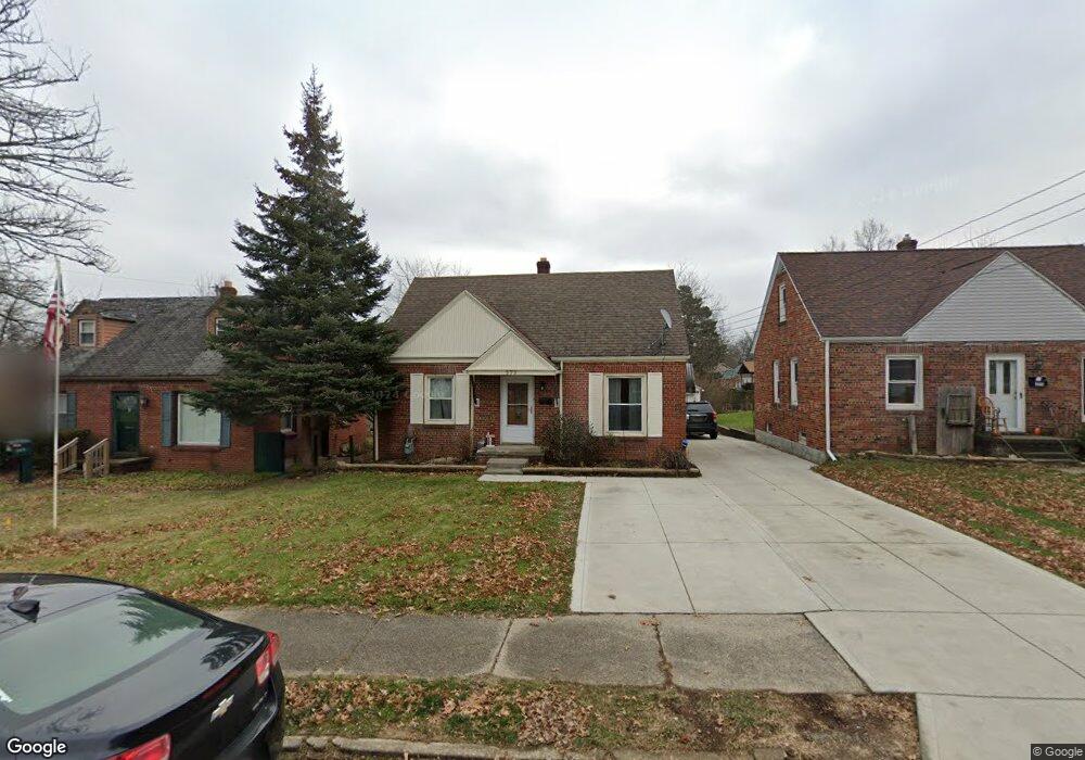
373 Taylor Rd Mansfield, OH 44903
Estimated Value: $122,703 - $149,000
2
Beds
1
Bath
1,204
Sq Ft
$116/Sq Ft
Est. Value
About This Home
This home is located at 373 Taylor Rd, Mansfield, OH 44903 and is currently estimated at $139,426, approximately $115 per square foot. 373 Taylor Rd is a home located in Richland County with nearby schools including Mansfield Elective Academy and Discovery School.
Ownership History
Date
Name
Owned For
Owner Type
Purchase Details
Closed on
Sep 2, 1999
Sold by
Fleming Sheri L
Bought by
Grimes Robert M and Grimes Kelly L
Current Estimated Value
Home Financials for this Owner
Home Financials are based on the most recent Mortgage that was taken out on this home.
Original Mortgage
$75,961
Outstanding Balance
$22,122
Interest Rate
7.59%
Mortgage Type
FHA
Estimated Equity
$117,304
Purchase Details
Closed on
May 25, 1994
Sold by
Carracher Scott E
Bought by
Flemming H Todd
Purchase Details
Closed on
Jul 1, 1986
Create a Home Valuation Report for This Property
The Home Valuation Report is an in-depth analysis detailing your home's value as well as a comparison with similar homes in the area
Home Values in the Area
Average Home Value in this Area
Purchase History
| Date | Buyer | Sale Price | Title Company |
|---|---|---|---|
| Grimes Robert M | $76,000 | -- | |
| Flemming H Todd | $59,200 | -- | |
| -- | $41,900 | -- |
Source: Public Records
Mortgage History
| Date | Status | Borrower | Loan Amount |
|---|---|---|---|
| Open | Grimes Robert M | $75,961 |
Source: Public Records
Tax History Compared to Growth
Tax History
| Year | Tax Paid | Tax Assessment Tax Assessment Total Assessment is a certain percentage of the fair market value that is determined by local assessors to be the total taxable value of land and additions on the property. | Land | Improvement |
|---|---|---|---|---|
| 2024 | $1,219 | $26,040 | $3,590 | $22,450 |
| 2023 | $1,219 | $26,040 | $3,590 | $22,450 |
| 2022 | $1,058 | $18,940 | $3,080 | $15,860 |
| 2021 | $1,066 | $18,940 | $3,080 | $15,860 |
| 2020 | $1,090 | $18,940 | $3,080 | $15,860 |
| 2019 | $1,208 | $18,940 | $3,080 | $15,860 |
| 2018 | $1,191 | $18,940 | $3,080 | $15,860 |
| 2017 | $1,189 | $18,940 | $3,080 | $15,860 |
| 2016 | $1,219 | $19,310 | $4,240 | $15,070 |
| 2015 | $1,164 | $19,310 | $4,240 | $15,070 |
| 2014 | $1,149 | $19,310 | $4,240 | $15,070 |
| 2012 | $461 | $20,330 | $4,470 | $15,860 |
Source: Public Records
Map
Nearby Homes
- 408 Fairlawn Ave
- 679 Coleman Rd
- 616 Cline Ave
- 212 Marlow Rd
- 191 Fairlawn Ave
- 538 Broadview Ave
- 143 Fairlawn Ave
- 135 Fairlawn Ave
- 190 S Linden Rd
- 129 Fairlawn Ave
- 118 Parkwood Blvd
- 133 Stewart Ave S
- 244 S Trimble Rd Unit 246
- 655 Woodhill Rd
- 143 Kingwood Place
- 232 S Trimble Rd Unit 234
- 126 Dawson Ave
- 216 S Trimble Rd Unit 218
- 78 Glenwood Blvd
- 41 Parkwood Blvd
- 369 Taylor Rd
- 377 Taylor Rd
- 381 Taylor Rd
- 705 Manchester Rd
- 383 Taylor Rd
- 736 Manchester Rd
- 359 Taylor Rd
- 704 Sloane Ave
- 700 Sloane Ave
- 699 Manchester Rd
- 372 Taylor Rd
- 355 Taylor Rd
- 366 Taylor Rd
- 378 Taylor Rd
- 356 Taylor Rd Unit 54
- 694 Sloane Ave
- 384 Taylor Rd
- 360 Taylor Rd
- 395 Taylor Rd
- 349 Taylor Rd