3735 Quaas Ave Watertown, MN 55388
Estimated Value: $530,000 - $906,895
3
Beds
1
Bath
1,782
Sq Ft
$387/Sq Ft
Est. Value
About This Home
This home is located at 3735 Quaas Ave, Watertown, MN 55388 and is currently estimated at $690,224, approximately $387 per square foot. 3735 Quaas Ave is a home located in Carver County with nearby schools including Watertown-Mayer Elementary School, Watertown-Mayer Middle School, and Watertown Mayer High School.
Ownership History
Date
Name
Owned For
Owner Type
Purchase Details
Closed on
Jan 4, 2004
Sold by
Hendricks James W and Hendricks Lois E
Bought by
Braegelmann Joseph W and Braegelmann Victoria A
Current Estimated Value
Purchase Details
Closed on
Jul 1, 1997
Sold by
Hendrickson James W and Hendrickson Lois E
Bought by
Braegelmann Joseph W and Braegelmann Victoria A
Create a Home Valuation Report for This Property
The Home Valuation Report is an in-depth analysis detailing your home's value as well as a comparison with similar homes in the area
Home Values in the Area
Average Home Value in this Area
Purchase History
| Date | Buyer | Sale Price | Title Company |
|---|---|---|---|
| Braegelmann Joseph W | $334,000 | -- | |
| Braegelmann Joseph W | $334,000 | -- |
Source: Public Records
Mortgage History
| Date | Status | Borrower | Loan Amount |
|---|---|---|---|
| Closed | Braegelmann Joseph W | -- |
Source: Public Records
Tax History Compared to Growth
Tax History
| Year | Tax Paid | Tax Assessment Tax Assessment Total Assessment is a certain percentage of the fair market value that is determined by local assessors to be the total taxable value of land and additions on the property. | Land | Improvement |
|---|---|---|---|---|
| 2025 | $3,532 | $872,300 | $577,000 | $295,300 |
| 2024 | $3,398 | $837,100 | $554,400 | $282,700 |
| 2023 | $3,066 | $776,200 | $492,800 | $283,400 |
| 2022 | $2,820 | $410,800 | $367,700 | $43,100 |
| 2021 | $2,546 | $400,900 | $361,900 | $39,000 |
| 2020 | $2,626 | $158,400 | $48,500 | $109,900 |
| 2019 | $2,128 | $398,800 | $359,800 | $39,000 |
| 2018 | $2,122 | $515,200 | $406,000 | $109,200 |
| 2017 | $2,396 | $515,200 | $406,000 | $109,200 |
| 2016 | $2,380 | $500,300 | $0 | $0 |
| 2015 | $2,838 | $502,500 | $0 | $0 |
| 2014 | $2,838 | $486,500 | $0 | $0 |
Source: Public Records
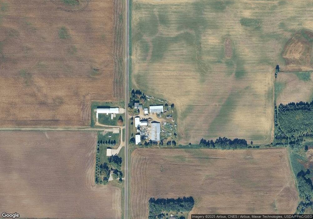
Map
Nearby Homes
- 1221 Bishop Cir
- 1290 Knight Ln
- 1201 Bishop Cir
- 536 Industrial Blvd
- 516 Industrial Blvd
- 555 Industrial Blvd
- 865 Quail Ct
- 575 Industrial Blvd
- XXX Newton Ave SE
- 593 Sienna Dr
- 578 Sienna Dr
- 829 Reo Rd
- 600 Jefferson Ave SW
- 313 Angel Ave SW
- 12120 County Road 24
- 408 Franklin Ave SW
- xxx Stevens St SW
- 115 Riverside Terrace Dr Unit 115
- 605 Stevens St SW Unit 43
- 1316 Balsam Ln
- 3730 Quaas Ave
- 3565 Quaas Ave
- 3925 Quaas Ave
- 3980 Quaas Ave
- 4010 Quaas Ave
- 3450 Quaas Ave
- 3995 Quaas Ave
- 3555 Highway 25
- 4180 Quaas Ave
- 3620 Highway 25
- 3680 Highway 25
- 12975 32nd St
- 13080 32nd St
- 3945 Highway 25
- 3790 Highway 25
- 3860 Highway 25
- 12270 Cattle Ln
- 3920 Highway 25
- 3185 Newton Ave SE
- 12240 Cattle Ln