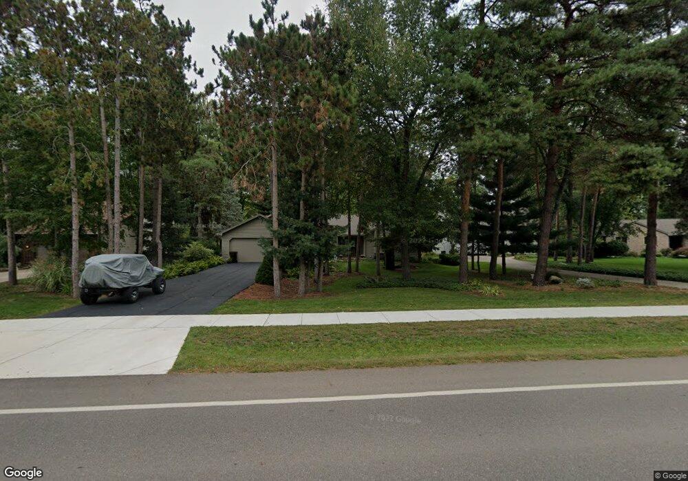
3736 W Herbison Rd Dewitt, MI 48820
Estimated Value: $423,000 - $450,007
3
Beds
4
Baths
1,972
Sq Ft
$220/Sq Ft
Est. Value
About This Home
This home is located at 3736 W Herbison Rd, Dewitt, MI 48820 and is currently estimated at $434,502, approximately $220 per square foot. 3736 W Herbison Rd is a home located in Clinton County with nearby schools including Schavey Road Elementary School, Herbison Woods Elementary School, and Scott Elementary School.
Ownership History
Date
Name
Owned For
Owner Type
Purchase Details
Closed on
Feb 14, 2022
Sold by
Goad and Marvin
Bought by
Trust For The Benefit Of Hannah E Goad And Sh
Current Estimated Value
Purchase Details
Closed on
Jun 5, 2012
Sold by
Goad Marvin and Goad Doris
Bought by
Goad Marvin Lee and Goad Doris E
Purchase Details
Closed on
Aug 12, 2005
Sold by
Barnes Stephen L and Barnes Kathryn A
Bought by
Goad Marvin and Goad Doris
Home Financials for this Owner
Home Financials are based on the most recent Mortgage that was taken out on this home.
Original Mortgage
$200,000
Interest Rate
5.12%
Mortgage Type
New Conventional
Create a Home Valuation Report for This Property
The Home Valuation Report is an in-depth analysis detailing your home's value as well as a comparison with similar homes in the area
Home Values in the Area
Average Home Value in this Area
Purchase History
| Date | Buyer | Sale Price | Title Company |
|---|---|---|---|
| Trust For The Benefit Of Hannah E Goad And Sh | -- | Land Title | |
| Goad Marvin Lee | -- | None Available | |
| Goad Marvin | $299,900 | Transnation Title |
Source: Public Records
Mortgage History
| Date | Status | Borrower | Loan Amount |
|---|---|---|---|
| Previous Owner | Goad Marvin | $200,000 |
Source: Public Records
Tax History
| Year | Tax Paid | Tax Assessment Tax Assessment Total Assessment is a certain percentage of the fair market value that is determined by local assessors to be the total taxable value of land and additions on the property. | Land | Improvement |
|---|---|---|---|---|
| 2025 | $5,827 | $208,400 | $36,300 | $172,100 |
| 2024 | $31 | $187,600 | $34,400 | $153,200 |
| 2023 | $3,519 | $174,900 | $0 | $0 |
| 2022 | $5,279 | $160,900 | $29,300 | $131,600 |
| 2021 | $5,120 | $152,200 | $27,800 | $124,400 |
| 2020 | $4,994 | $147,100 | $26,900 | $120,200 |
| 2019 | $4,803 | $137,200 | $25,000 | $112,200 |
| 2018 | $4,587 | $130,500 | $24,800 | $105,700 |
| 2017 | $4,523 | $127,800 | $24,300 | $103,500 |
| 2016 | $4,486 | $121,600 | $22,400 | $99,200 |
| 2015 | $4,490 | $125,000 | $0 | $0 |
| 2011 | -- | $115,200 | $0 | $0 |
Source: Public Records
Map
Nearby Homes
- 3783 Wisteria Ln
- 3893 Sage Ln
- 4083 W Herbison Rd
- 00 Driftwood Dr
- 0 Driftwood Dr
- 3421 Hawthorne Woods Pkwy
- 13624 Sienna Pass
- 1605 Stauffer Ln
- 1226 S Geneva Dr
- 13894 Luroma Cir
- 13871 Kaleidoscope Dr
- 13865 Kaleidoscope Dr
- 3343 Silverspring Dr
- 603 Cherry St
- 11740 Kalamata Dr
- 11625 Murano Dr Unit 63
- 3535 Stanwood Dr
- 2407 W Clark Rd
- 14013 Ambrosia Ave
- 513 N Scott St
- 3748 W Herbison Rd
- 3722 W Herbison Rd
- 3762 W Herbison Rd
- 3776 W Herbison Rd
- 3765 W Herbison Rd
- 3698 W Herbison Rd
- 13105 White Pine Dr
- 3900 White
- 3686 W Herbison Rd
- 13121 White Pine Dr
- 13136 White Pine Dr
- 13131 White Pine Dr
- 3670 W Herbison Rd
- 13152 White Pine Dr
- 13151 White Pine Dr
- 3891 W Herbison Rd
- 13165 White Pine Dr
- 13166 White Pine Dr
- 3897 W Herbison Rd
- 13181 White Pine Dr
Your Personal Tour Guide
Ask me questions while you tour the home.