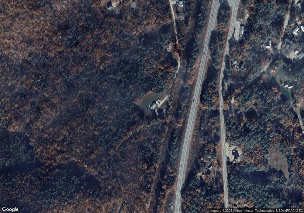
374 Access Rd Sanbornville, NH 03872
Estimated Value: $299,000 - $475,181
2
Beds
2
Baths
1,504
Sq Ft
$282/Sq Ft
Est. Value
About This Home
This home is located at 374 Access Rd, Sanbornville, NH 03872 and is currently estimated at $424,545, approximately $282 per square foot. 374 Access Rd is a home located in Carroll County with nearby schools including Paul Elementary School.
Ownership History
Date
Name
Owned For
Owner Type
Purchase Details
Closed on
Oct 24, 2012
Sold by
Hayward Jonathan D
Bought by
Hayward Jonathan D and Hayward Jennifer L
Current Estimated Value
Home Financials for this Owner
Home Financials are based on the most recent Mortgage that was taken out on this home.
Original Mortgage
$147,500
Outstanding Balance
$102,379
Interest Rate
3.56%
Mortgage Type
Purchase Money Mortgage
Estimated Equity
$322,166
Create a Home Valuation Report for This Property
The Home Valuation Report is an in-depth analysis detailing your home's value as well as a comparison with similar homes in the area
Home Values in the Area
Average Home Value in this Area
Purchase History
| Date | Buyer | Sale Price | Title Company |
|---|---|---|---|
| Hayward Jonathan D | -- | -- |
Source: Public Records
Mortgage History
| Date | Status | Borrower | Loan Amount |
|---|---|---|---|
| Open | Hayward Jonathan D | $147,500 |
Source: Public Records
Tax History Compared to Growth
Tax History
| Year | Tax Paid | Tax Assessment Tax Assessment Total Assessment is a certain percentage of the fair market value that is determined by local assessors to be the total taxable value of land and additions on the property. | Land | Improvement |
|---|---|---|---|---|
| 2024 | $2,559 | $340,296 | $80,296 | $260,000 |
| 2023 | $2,330 | $340,210 | $80,210 | $260,000 |
| 2022 | $2,197 | $179,370 | $28,770 | $150,600 |
| 2021 | $2,212 | $179,251 | $28,651 | $150,600 |
| 2020 | $2,221 | $179,363 | $28,763 | $150,600 |
| 2019 | $2,257 | $180,972 | $28,872 | $152,100 |
| 2018 | $2,037 | $180,878 | $28,778 | $152,100 |
| 2017 | $1,882 | $148,806 | $28,106 | $120,700 |
| 2016 | $1,924 | $148,703 | $28,003 | $120,700 |
| 2015 | $1,942 | $148,727 | $28,027 | $120,700 |
| 2014 | $1,895 | $148,716 | $29,516 | $119,200 |
| 2013 | $1,810 | $147,362 | $29,562 | $117,800 |
Source: Public Records
Map
Nearby Homes
- 169 Whippoorwill Rd
- 156 Access Rd
- Map 223 lot 31 Access Rd
- lot 20 Access Rd
- Lot 19 Access Rd
- lot 15 Access Rd
- lot 14 Access Rd
- 266 Access Rd
- 1457 Wakefield Rd
- 419 Lovell Lake Rd
- 132 Main St
- 13 Mountain View Dr
- 23 Mountain View Terrace
- 39 Rines Rd
- 131 Meadow St
- 46-2 & 47 New Hampshire 153
- 1765 White Mountain Hwy
- 84 School St
- 0 Pine Ridge Rd Unit 51
- 15 Adams Way
- 330 Access Rd
- Lot 13 Access Rd
- 776 Wakefield Rd
- 709 Wakefield Rd
- 235 Whippoorwill Rd
- 808 Wakefield Rd
- 289 Access Rd
- 836 Wakefield Rd
- 836 Wakefield Rd Unit 6 AND 7
- 836 Wakefield Rd Unit 13187
- 244 Access Rd
- lot 6 Wakefield Rd
- 166 Whippoorwill Rd
- 00 Access Rd
- 674 Wakefield Rd
- 189 Whippoorwill Rd
- 673 Wakefield Rd
- 42 Old Settlers Ln
- 724 Wakefield Rd
- 144 Whippoorwill Rd
