Estimated Value: $354,000 - $396,000
--
Bed
--
Bath
1,772
Sq Ft
$216/Sq Ft
Est. Value
About This Home
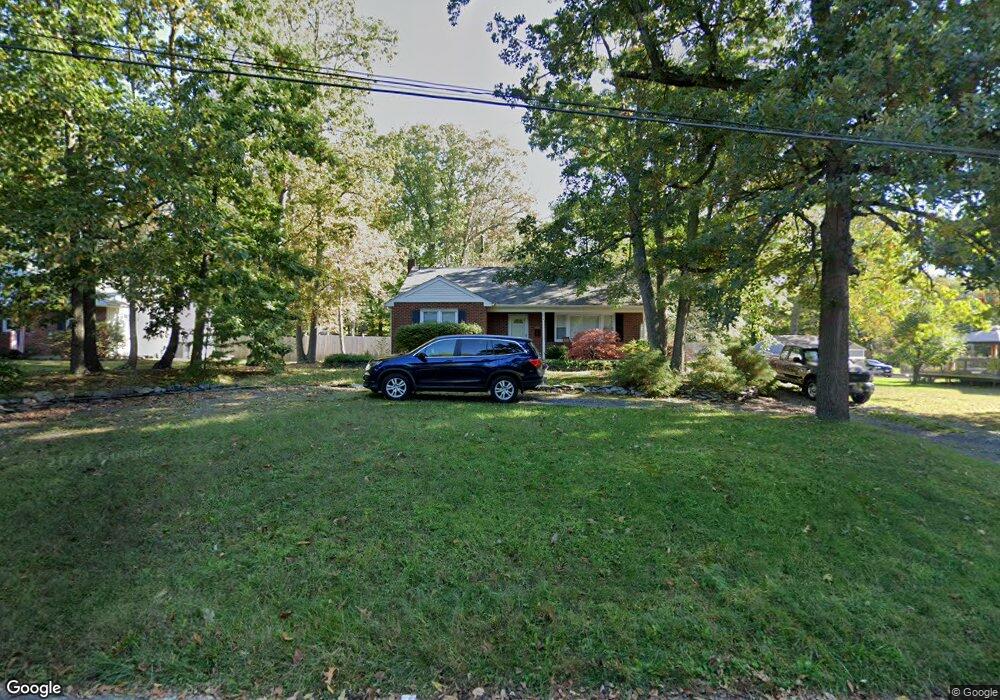
This home is located at 374 Carl Hasselhan Dr, Atco, NJ 08004 and is currently estimated at $382,672, approximately $215 per square foot. 374 Carl Hasselhan Dr is a home located in Camden County with nearby schools including Thomas Richards Elementary School, Waterford Elementary School, and Atco Elementary School.
Ownership History
Date
Name
Owned For
Owner Type
Purchase Details
Closed on
Sep 8, 2006
Sold by
Bowling Lisa C
Bought by
Bach Joseph J
Current Estimated Value
Purchase Details
Closed on
Dec 9, 1999
Sold by
Harrison Matthew
Bought by
Bowling Scott W and Bowling Lisa C
Home Financials for this Owner
Home Financials are based on the most recent Mortgage that was taken out on this home.
Original Mortgage
$91,200
Interest Rate
7.81%
Create a Home Valuation Report for This Property
The Home Valuation Report is an in-depth analysis detailing your home's value as well as a comparison with similar homes in the area
Home Values in the Area
Average Home Value in this Area
Purchase History
| Date | Buyer | Sale Price | Title Company |
|---|---|---|---|
| Bach Joseph J | $274,000 | -- | |
| Bowling Scott W | $114,000 | -- |
Source: Public Records
Mortgage History
| Date | Status | Borrower | Loan Amount |
|---|---|---|---|
| Previous Owner | Bowling Scott W | $91,200 |
Source: Public Records
Tax History Compared to Growth
Tax History
| Year | Tax Paid | Tax Assessment Tax Assessment Total Assessment is a certain percentage of the fair market value that is determined by local assessors to be the total taxable value of land and additions on the property. | Land | Improvement |
|---|---|---|---|---|
| 2025 | $7,014 | $159,200 | $45,000 | $114,200 |
| 2024 | $6,841 | $159,200 | $45,000 | $114,200 |
| 2023 | $6,841 | $159,200 | $45,000 | $114,200 |
| 2022 | $6,537 | $159,200 | $45,000 | $114,200 |
| 2021 | $6,505 | $159,200 | $45,000 | $114,200 |
| 2020 | $6,473 | $159,200 | $45,000 | $114,200 |
| 2019 | $6,374 | $159,200 | $45,000 | $114,200 |
| 2018 | $6,368 | $159,200 | $45,000 | $114,200 |
| 2017 | $6,269 | $159,200 | $45,000 | $114,200 |
| 2016 | $6,179 | $159,200 | $45,000 | $114,200 |
| 2015 | $6,016 | $159,200 | $45,000 | $114,200 |
| 2014 | $5,904 | $106,900 | $29,300 | $77,600 |
Source: Public Records
Map
Nearby Homes
- 2148 Bartram Ave
- 465 Atco Ave
- 2157 Almira Ave
- 510 White Horse Pike
- 2216 Harrison Ave
- 2216 Harrison
- 252 Hayes Mill Rd
- 524 White Horse Pike
- 2107 Cooper Rd
- 348 White Horse Pike
- 4 Bromley Ct
- 2254 Clifford Ave
- 326 White Horse Pike
- 411 Atco Ave
- 344 Raritan Ave
- 295 White Horse Pike
- 537 3rd St
- 286 Front St
- 538 3rd St
- 2307 Cooper Rd
- 370 Carl Hasselhan Dr
- 382 Carl Hasselhan Dr
- 2121 Bartram Ave
- 436 White Horse Pike
- 440 White Horse Pike Unit A
- 440 White Horse Pike Unit 2
- 440 White Horse Pike Unit 2
- 2112 Bartram Ave
- 2127 Bartram Ave
- 2124 Auburn Ave
- 428 White Horse Pike Unit A
- 428 White Horse Pike
- 415 Front St
- 2122 Bartram Ave
- 2130 Auburn Ave
- 2126 Bartram Ave
- 427 Front St
- 2134 Auburn Ave
- 419 Front St
- 462 White Horse Pike