374 E 27th St Safford, AZ 85546
Estimated Value: $317,000 - $501,000
Studio
--
Bath
1,440
Sq Ft
$281/Sq Ft
Est. Value
About This Home
This home is located at 374 E 27th St, Safford, AZ 85546 and is currently estimated at $404,938, approximately $281 per square foot. 374 E 27th St is a home located in Graham County with nearby schools including Dorothy Stinson School, Ruth Powell Elementary School, and Lafe Nelson School.
Ownership History
Date
Name
Owned For
Owner Type
Purchase Details
Closed on
Sep 5, 2024
Sold by
Darnell Linda L
Bought by
Gregory Peter N and Gregory Jen M
Current Estimated Value
Purchase Details
Closed on
Aug 23, 2024
Sold by
Johnston Susan Arleen
Bought by
Etcitty Bradley Nicholas and Etcitty Michelle
Purchase Details
Closed on
Aug 19, 2024
Sold by
Johnston Susan Arleen
Bought by
Etcitty Bradley Nicholas and Etcitty Michelle
Create a Home Valuation Report for This Property
The Home Valuation Report is an in-depth analysis detailing your home's value as well as a comparison with similar homes in the area
Purchase History
| Date | Buyer | Sale Price | Title Company |
|---|---|---|---|
| Gregory Peter N | $361,000 | Pioneer Title | |
| Etcitty Bradley Nicholas | $275,000 | Stewart Title & Trust Of Phoen | |
| Etcitty Bradley Nicholas | $275,000 | Stewart Title & Trust Of Phoen |
Source: Public Records
Tax History
| Year | Tax Paid | Tax Assessment Tax Assessment Total Assessment is a certain percentage of the fair market value that is determined by local assessors to be the total taxable value of land and additions on the property. | Land | Improvement |
|---|---|---|---|---|
| 2026 | $1,876 | -- | -- | -- |
| 2025 | $1,876 | $28,820 | $5,169 | $23,651 |
| 2024 | $1,949 | $27,538 | $5,169 | $22,369 |
| 2023 | $1,949 | $23,463 | $4,765 | $18,698 |
| 2022 | $1,581 | $21,300 | $4,768 | $16,532 |
| 2021 | $1,751 | $0 | $0 | $0 |
| 2020 | $1,685 | $0 | $0 | $0 |
| 2019 | $1,757 | $0 | $0 | $0 |
| 2018 | $1,660 | $0 | $0 | $0 |
| 2017 | $1,472 | $0 | $0 | $0 |
| 2016 | $1,357 | $0 | $0 | $0 |
| 2015 | $1,240 | $0 | $0 | $0 |
Source: Public Records
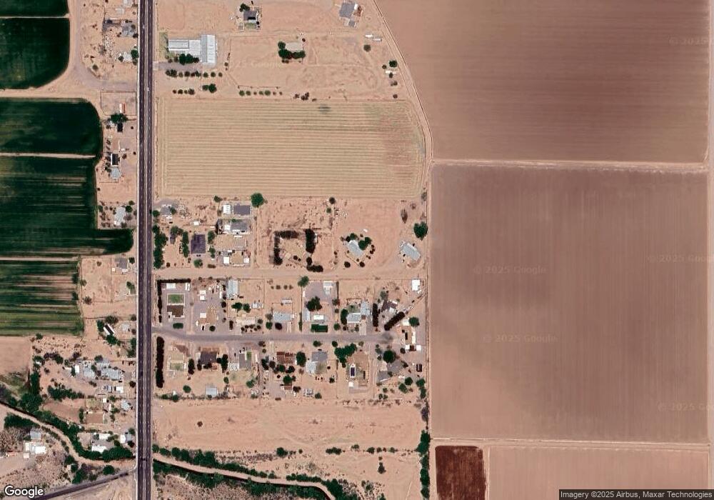
Map
Nearby Homes
- 121 E Montana Way
- 475 W 24th St
- 2250 S Lamonica Way
- 295 Geronimo Rd
- 1835 S 1st Ave
- 8th and Discovery --
- 1017 W Tucson St
- APN# 103-22-018
- 1290 W 27th St
- 2907 S Heather Ln
- 702 W 16th St
- 1405 W 24th St
- 1225 S Central Ave
- 1227 S Central Ave
- 828 W Navajo Ln
- 1204 S Central Ave Unit A
- 1204 S Central Ave Unit B
- 1227 S 7th Ave
- 1104 S Central Ave
- 1115 W Relation St
- 358 E Nor Jean Way
- 424 E 27th St
- 268 E 27th St
- 398 E Nor Jean Way
- 316 E Nor Jean Way
- 270 E Nor Jean Way
- 415 E Nor Jean Way
- 355 E Nor Jean Way
- 357 E Nor Jean Way
- 224 E Nor Jean Way
- 315 E Nor Jean Way
- 269 E Nor Jean Way
- 397 E Nor Jean Way
- 212 E 27th St Unit 1
- 166 E 27th St
- 223 E Nor Jean Way
- 223 E Nor Jean Way
- TBD S 1st Ave
- 178 E Nor Jean Way
- 178 E Nor Jean Way
Your Personal Tour Guide
Ask me questions while you tour the home.