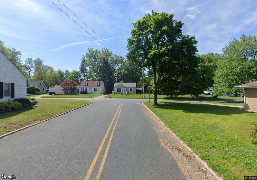
374 Garrison Rd Battle Creek, MI 49017
Northeast Battle Creek NeighborhoodEstimated Value: $147,000 - $203,000
3
Beds
2
Baths
1,120
Sq Ft
$153/Sq Ft
Est. Value
About This Home
This home is located at 374 Garrison Rd, Battle Creek, MI 49017 and is currently estimated at $170,876, approximately $152 per square foot. 374 Garrison Rd is a home located in Calhoun County with nearby schools including Northwestern Middle School, Battle Creek Central High School, and Battle Creek Christian School.
Ownership History
Date
Name
Owned For
Owner Type
Purchase Details
Closed on
Oct 29, 2009
Sold by
Love Laurence Michael and Love Karla Kunkle
Bought by
Schlee Richard C and Schlee Linda F
Current Estimated Value
Home Financials for this Owner
Home Financials are based on the most recent Mortgage that was taken out on this home.
Original Mortgage
$81,005
Outstanding Balance
$52,785
Interest Rate
4.96%
Mortgage Type
FHA
Estimated Equity
$118,091
Purchase Details
Closed on
Jan 18, 2007
Sold by
Vande Mark Helen Hope Love
Bought by
Love Laurence Michael and Love Karla Kunkle
Create a Home Valuation Report for This Property
The Home Valuation Report is an in-depth analysis detailing your home's value as well as a comparison with similar homes in the area
Home Values in the Area
Average Home Value in this Area
Purchase History
| Date | Buyer | Sale Price | Title Company |
|---|---|---|---|
| Schlee Richard C | $82,500 | None Available | |
| Love Laurence Michael | $40,000 | Otc |
Source: Public Records
Mortgage History
| Date | Status | Borrower | Loan Amount |
|---|---|---|---|
| Open | Schlee Richard C | $81,005 |
Source: Public Records
Tax History Compared to Growth
Tax History
| Year | Tax Paid | Tax Assessment Tax Assessment Total Assessment is a certain percentage of the fair market value that is determined by local assessors to be the total taxable value of land and additions on the property. | Land | Improvement |
|---|---|---|---|---|
| 2025 | -- | $62,700 | $0 | $0 |
| 2024 | $1,641 | $60,417 | $0 | $0 |
| 2023 | $1,875 | $50,946 | $0 | $0 |
| 2022 | $1,482 | $48,411 | $0 | $0 |
| 2021 | $1,769 | $46,352 | $0 | $0 |
| 2020 | $1,664 | $47,132 | $0 | $0 |
| 2019 | $1,657 | $44,130 | $0 | $0 |
| 2018 | $1,657 | $40,744 | $1,898 | $38,846 |
| 2017 | $1,607 | $39,555 | $0 | $0 |
| 2016 | $1,604 | $38,770 | $0 | $0 |
| 2015 | $1,571 | $34,983 | $3,439 | $31,544 |
| 2014 | $1,571 | $34,092 | $3,439 | $30,653 |
Source: Public Records
Map
Nearby Homes
- 280 Cornell Dr
- 375 Garrison Rd
- 275 Cornell Dr
- 281 Cornell Dr
- 286 Cornell Dr
- 267 Cornell Dr
- 195 Pleasantview Dr
- 205 Pleasantview Dr
- 219 Pleasantview Dr
- 275 Pleasantview Dr
- 231 Pleasantview Dr
- 287 Cornell Dr
- 0 Garrison Ave Unit M16045900
- 0 Garrison Ave Unit M20048329
- 22 Garrison Ave
- 59359 Garrison Ave
- V/L Garrison Ave
- 0 Garrison Ave Unit 19016785
- 0 Garrison Ave
- 390 Garrison Rd