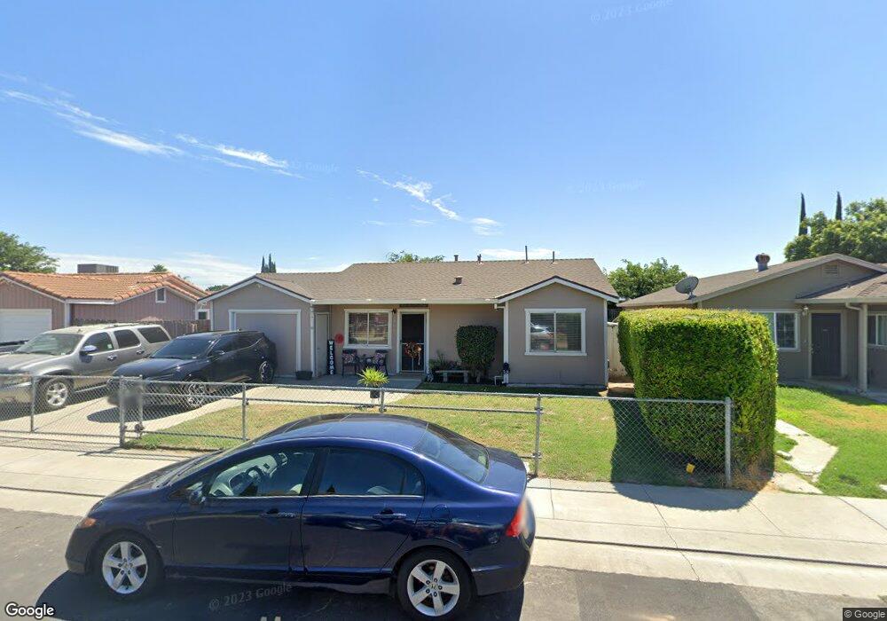
374 Mingo Way Lathrop, CA 95330
East Lathrop NeighborhoodEstimated Value: $257,000 - $470,000
2
Beds
1
Bath
818
Sq Ft
$447/Sq Ft
Est. Value
About This Home
This home is located at 374 Mingo Way, Lathrop, CA 95330 and is currently estimated at $365,876, approximately $447 per square foot. 374 Mingo Way is a home located in San Joaquin County with nearby schools including Lathrop Elementary School, Lathrop High School, and BE.TECH Charter High School.
Ownership History
Date
Name
Owned For
Owner Type
Purchase Details
Closed on
Feb 14, 2024
Sold by
Kirby Dean A
Bought by
D Kirby 2024 Trust and Kirby
Current Estimated Value
Purchase Details
Closed on
May 12, 2000
Sold by
Hernandez Anthony
Bought by
Kirby Dean and Kirby Victoria
Home Financials for this Owner
Home Financials are based on the most recent Mortgage that was taken out on this home.
Original Mortgage
$51,200
Interest Rate
8.22%
Mortgage Type
Stand Alone First
Create a Home Valuation Report for This Property
The Home Valuation Report is an in-depth analysis detailing your home's value as well as a comparison with similar homes in the area
Home Values in the Area
Average Home Value in this Area
Purchase History
We collect this data history from publicly available records. To have your information removed, we recommend requesting removal directly through your county’s website.
| Date | Buyer | Sale Price | Title Company |
|---|---|---|---|
| D Kirby 2024 Trust | -- | None Listed On Document | |
| Kirby Dean | $64,000 | Alliance Title Company |
Source: Public Records
Mortgage History
We collect this data history from publicly available records. To have your information removed, we recommend requesting removal directly through your county’s website.
| Date | Status | Borrower | Loan Amount |
|---|---|---|---|
| Previous Owner | Kirby Dean | $51,200 |
Source: Public Records
Tax History
| Year | Tax Paid | Tax Assessment Tax Assessment Total Assessment is a certain percentage of the fair market value that is determined by local assessors to be the total taxable value of land and additions on the property. | Land | Improvement |
|---|---|---|---|---|
| 2025 | $1,433 | $98,354 | $30,734 | $67,620 |
| 2024 | $1,504 | $96,427 | $30,132 | $66,295 |
| 2023 | $1,447 | $94,538 | $29,542 | $64,996 |
| 2022 | $1,427 | $92,685 | $28,963 | $63,722 |
| 2021 | $1,411 | $90,869 | $28,396 | $62,473 |
| 2020 | $1,366 | $89,938 | $28,105 | $61,833 |
| 2019 | $1,349 | $88,175 | $27,554 | $60,621 |
| 2018 | $1,331 | $86,447 | $27,014 | $59,433 |
| 2017 | $1,317 | $84,753 | $26,485 | $58,268 |
| 2016 | $1,289 | $83,092 | $25,966 | $57,126 |
| 2014 | $1,221 | $80,240 | $25,075 | $55,165 |
Source: Public Records
Map
Nearby Homes
- 16419 Bizzibe St
- 16235 Suzie Q Ln
- 587 Somoa Ln
- 2150 Mulholland Dr
- 3098 Mulholland Dr
- 2505 Mulholland Dr
- 2803 Penrose Ln
- 15940 Warfield Rd
- 197 E Louise Ave
- 15820 S Harlan Rd Unit 5
- 15820 S Harlan Rd Unit 98
- 3195 Paxton St
- 911 Toro Ln
- 16439 Carleta Place
- 188 Thomsen Rd
- 15510 Lottie Way
- 16032 Bandon Ln
- 16016 Bandon Ln
- 15968 Bandon Ln
- 953 Thomsen Rd
Your Personal Tour Guide
Ask me questions while you tour the home.