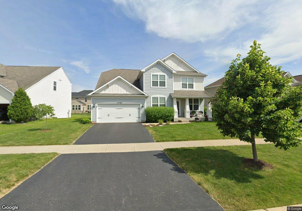
3740 Honey Locust Dr Naperville, IL 60564
Tall Grass NeighborhoodEstimated Value: $705,000 - $883,000
--
Bed
1
Bath
3,379
Sq Ft
$236/Sq Ft
Est. Value
About This Home
This home is located at 3740 Honey Locust Dr, Naperville, IL 60564 and is currently estimated at $797,514, approximately $236 per square foot. 3740 Honey Locust Dr is a home with nearby schools including Danielle-Joy Peterson Elementary School, Scullen Middle School, and Waubonsie Valley High School.
Ownership History
Date
Name
Owned For
Owner Type
Purchase Details
Closed on
Oct 30, 2014
Sold by
Pulte Home Corporation
Bought by
Fisher Jonathan and Fisher Andrea
Current Estimated Value
Home Financials for this Owner
Home Financials are based on the most recent Mortgage that was taken out on this home.
Original Mortgage
$371,700
Outstanding Balance
$286,717
Interest Rate
4.19%
Mortgage Type
New Conventional
Estimated Equity
$510,797
Create a Home Valuation Report for This Property
The Home Valuation Report is an in-depth analysis detailing your home's value as well as a comparison with similar homes in the area
Home Values in the Area
Average Home Value in this Area
Purchase History
| Date | Buyer | Sale Price | Title Company |
|---|---|---|---|
| Fisher Jonathan | $464,625 | Pgp Title |
Source: Public Records
Mortgage History
| Date | Status | Borrower | Loan Amount |
|---|---|---|---|
| Open | Fisher Jonathan | $371,700 |
Source: Public Records
Tax History Compared to Growth
Tax History
| Year | Tax Paid | Tax Assessment Tax Assessment Total Assessment is a certain percentage of the fair market value that is determined by local assessors to be the total taxable value of land and additions on the property. | Land | Improvement |
|---|---|---|---|---|
| 2024 | $14,922 | $235,822 | $52,703 | $183,119 |
| 2023 | $14,922 | $208,323 | $46,557 | $161,766 |
| 2022 | $12,654 | $182,366 | $44,042 | $138,324 |
| 2021 | $12,090 | $173,682 | $41,945 | $131,737 |
| 2020 | $11,858 | $170,930 | $41,280 | $129,650 |
| 2019 | $11,652 | $166,113 | $40,117 | $125,996 |
| 2018 | $11,869 | $164,449 | $39,234 | $125,215 |
| 2017 | $11,689 | $160,203 | $38,221 | $121,982 |
| 2016 | $12,375 | $165,890 | $37,398 | $128,492 |
| 2015 | $31 | $159,510 | $35,960 | $123,550 |
| 2014 | $31 | $368 | $368 | $0 |
Source: Public Records
Map
Nearby Homes
- 10210 Sunridge Dr
- 3907 Nannyberry St
- 3932 Bluejay Ln Unit 2
- 3420 Lapp Ln
- 3421 Goldfinch Dr
- 3804 Horizon Ct
- 9836 S Carls Dr
- 4052 Teak Cir
- 3258 Mirehaven Ct
- 4447 Sassafras Ln
- 4215 Chinaberry Ln
- 3274 Mirehaven Ct
- 3218 Lincoln Prairie Blvd
- 3273 Mirehaven Dr
- 24531 W 103rd St
- 2967 Madison Dr
- 2895 Lahinch Ct Unit 6
- 3338 Fulshear Cir
- 2925 Madison Dr
- 3316 Tall Grass Dr
- 3736 Honey Locust Dr
- 3744 Honey Locust Dr
- 3735 Birch Ln
- 3732 Honey Locust Dr
- 3739 Birch Ln
- 3731 Birch Ln
- 3743 Birch Ln
- 4303 Silver Bell Ct
- 3747 Birch Ln
- 3727 Birch Ln
- 4304 Silver Bell Ct
- 3728 Honey Locust Dr
- 4307 Silver Bell Ct
- 4204 Fraser Cir
- 4308 Silver Bell Ct
- 3723 Birch Ln
- 3724 Honey Locust Dr
- 4311 Silver Bell Ct
- 4208 Fraser Cir
- 4360 Fraser Cir