3743 12th St NE Unit 26 Washington, DC 20017
Brookland NeighborhoodEstimated Value: $598,000 - $1,326,385
1
Bed
1
Bath
525
Sq Ft
$1,833/Sq Ft
Est. Value
About This Home
This home is located at 3743 12th St NE Unit 26, Washington, DC 20017 and is currently estimated at $962,193, approximately $1,832 per square foot. 3743 12th St NE Unit 26 is a home located in District of Columbia with nearby schools including Bunker Hill Elementary School, Brookland Middle School, and Dunbar High School.
Create a Home Valuation Report for This Property
The Home Valuation Report is an in-depth analysis detailing your home's value as well as a comparison with similar homes in the area
Home Values in the Area
Average Home Value in this Area
Tax History Compared to Growth
Map
Nearby Homes
- 3719 12th St NE Unit 209
- 1235 Perry St NE
- 3722 13th St NE
- 1049 Michigan Ave NE Unit 1049
- 1032 Otis St NE Unit G01
- 1207 Randolph St NE
- 1234 Monroe St NE
- 913 Quincy St NE Unit 3
- 1248 Monroe St NE
- 1348 Newton St NE
- 1358 Newton St NE
- 705 Quincy St NE Unit 2
- 705 Quincy St NE Unit 4
- 1400 Newton St NE
- 1006 Shepherd St NE
- 1004 Shepherd St NE
- 4019 9th St NE Unit 4
- 4019 9th St NE Unit 1
- 1030 Kearny St NE
- 1260 Kearny St NE
- 3743 12th St NE Unit 1.1404158
- 3743 12th St NE
- 3743 12th St NE Unit 5.1404160
- 3743 12th St NE Unit 2.1404159
- 3743 12th St NE Unit 8.1404162
- 3743 12th St NE Unit 6.1404161
- 3743 12th St NE Unit 27.1404856
- 3743 12th St NE
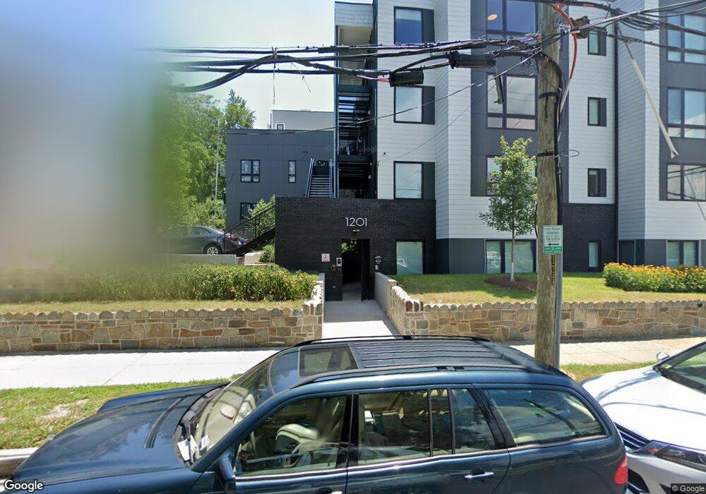
- 1201 Perry St NE
- 1201 Perry St NE
- 1205 Perry St NE
- 3737 12th St NE
- 3733 12th St NE Unit 301
- 3733 12th St NE Unit 302
- 3733 12th St NE Unit 201
- 3733 12th St NE
- 3733 12th St NE Unit C-1
- 3733 12th St NE Unit 202
- 1215 Perry St NE
- 1200 Perry St NE Unit LOWER LEVEL