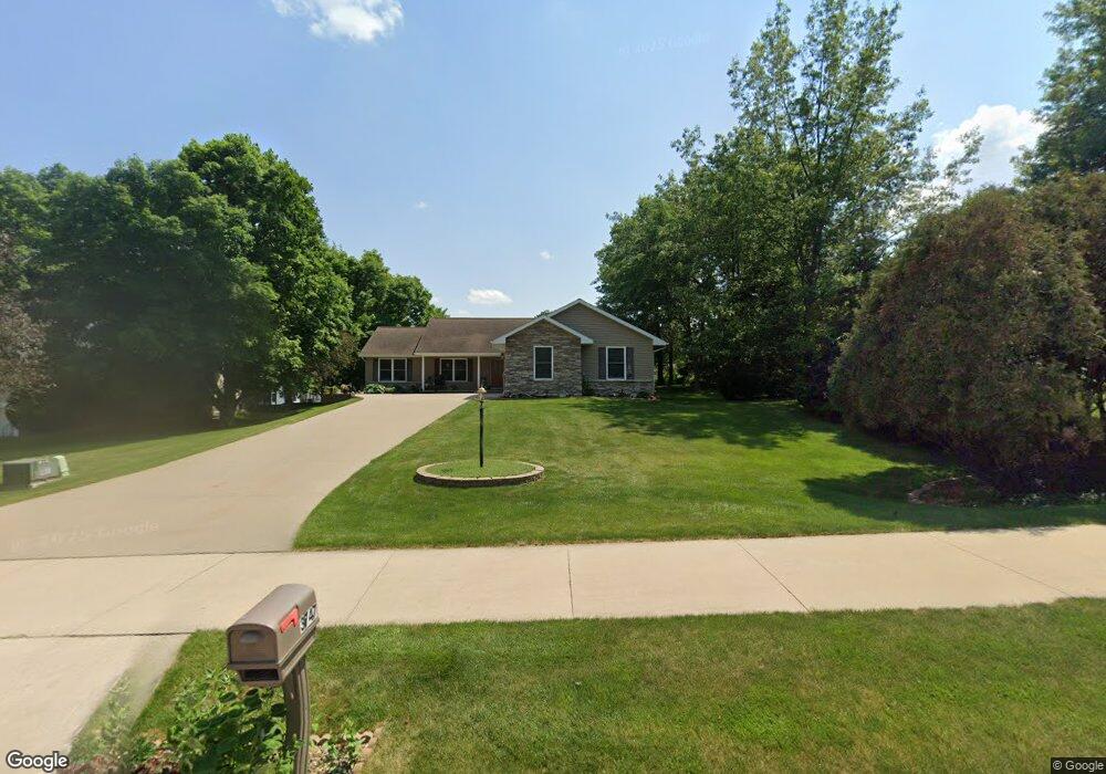
3747 Lower West Branch Rd Iowa City, IA 52245
Estimated Value: $426,000 - $507,000
4
Beds
1
Bath
1,736
Sq Ft
$268/Sq Ft
Est. Value
About This Home
This home is located at 3747 Lower West Branch Rd, Iowa City, IA 52245 and is currently estimated at $465,991, approximately $268 per square foot. 3747 Lower West Branch Rd is a home with nearby schools including Helen Lemme Elementary School, Southeast Junior High School, and City High School.
Ownership History
Date
Name
Owned For
Owner Type
Purchase Details
Closed on
Jun 5, 2025
Sold by
Alt-Farmer Linda K and Farmer Keith L
Bought by
Keith Farmer Revocable Trust and Alt-Farmer
Current Estimated Value
Purchase Details
Closed on
Aug 17, 2010
Sold by
Murphy Corinne M and Murphy George E
Bought by
Murphy Chad M
Purchase Details
Closed on
Jul 7, 2006
Sold by
Schnoebelen Douglas J and Schnoebelen Nancy I
Bought by
Alt Farmer Linda K and Farmer Keith L
Create a Home Valuation Report for This Property
The Home Valuation Report is an in-depth analysis detailing your home's value as well as a comparison with similar homes in the area
Home Values in the Area
Average Home Value in this Area
Purchase History
| Date | Buyer | Sale Price | Title Company |
|---|---|---|---|
| Keith Farmer Revocable Trust | -- | None Listed On Document | |
| Murphy Chad M | $65,000 | None Available | |
| Alt Farmer Linda K | $80,000 | None Available |
Source: Public Records
Tax History Compared to Growth
Tax History
| Year | Tax Paid | Tax Assessment Tax Assessment Total Assessment is a certain percentage of the fair market value that is determined by local assessors to be the total taxable value of land and additions on the property. | Land | Improvement |
|---|---|---|---|---|
| 2025 | $8,360 | $501,500 | $71,090 | $430,410 |
| 2024 | $8,372 | $471,190 | $62,720 | $408,470 |
| 2023 | $8,348 | $471,190 | $62,720 | $408,470 |
| 2022 | $7,974 | $397,410 | $62,720 | $334,690 |
| 2021 | $8,020 | $397,410 | $62,720 | $334,690 |
| 2020 | $8,020 | $379,550 | $58,540 | $321,010 |
| 2019 | $7,736 | $379,550 | $58,540 | $321,010 |
| 2018 | $7,736 | $360,600 | $54,360 | $306,240 |
| 2017 | $7,500 | $360,600 | $54,360 | $306,240 |
| 2016 | $7,350 | $349,690 | $54,360 | $295,330 |
| 2015 | $7,350 | $349,690 | $54,360 | $295,330 |
| 2014 | $7,334 | $347,720 | $54,360 | $293,360 |
Source: Public Records
Map
Nearby Homes
- 253 Lindemann Dr
- 0 Lower West Branch Rd SE
- 260 N Scott Blvd Unit 311
- 260 N Scott Blvd Unit 201
- 260 N Scott Blvd Unit 203
- 260 N Scott Blvd
- 260 N Scott Blvd Unit 104
- 281 Danielle St
- 3428 Lower West Branch Rd
- 3635 Middlebury Rd
- 446 N Scott Blvd Unit B446
- 4157 Anna St
- 15 Mary Ct
- 282 Kenneth Dr
- 139 S Scott Blvd
- 123 S Scott Blvd
- 149 S Scott Blvd
- 105 S Scott Blvd
- 103 S Scott Blvd
- 161 S Scott Blvd
- 4641 Lower West Branch Rd SE
- 290 Hummingbird Ln
- 260 Hummingbird Ln
- 293 Lindemann Dr
- 283 Lindemann Dr
- 3734 Lower West Branch Rd
- 3724 Lower West Branch Rd
- 3714 Lower West Branch Rd
- 263 Lindemann Dr
- 210 Hummingbird Ln
- 295 Hummingbird Ln
- 3704 Lower West Branch Rd
- 275 Hummingbird Ln
- 225 Pine Grove Ln
- 310 Westbury Dr
- 243 Lindemann Dr
- 256 Lindemann Dr
- 164 Hummingbird Ln
- 220 Pine Grove Ln
- 318 Westbury Dr