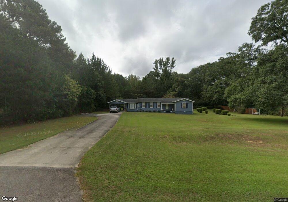
3749 Roanoke Rd Lagrange, GA 30240
Estimated Value: $147,000 - $180,000
3
Beds
2
Baths
1,130
Sq Ft
$142/Sq Ft
Est. Value
About This Home
This home is located at 3749 Roanoke Rd, Lagrange, GA 30240 and is currently estimated at $160,135, approximately $141 per square foot. 3749 Roanoke Rd is a home located in Troup County with nearby schools including Berta Weathersbee Elementary School, Whitesville Road Elementary School, and Long Cane Elementary School.
Ownership History
Date
Name
Owned For
Owner Type
Purchase Details
Closed on
Jun 27, 2023
Sold by
Powell Alice Folds
Bought by
Bassett Donald Craig
Current Estimated Value
Purchase Details
Closed on
Apr 13, 2000
Sold by
John L Powell
Bought by
Powell Alice Folds
Purchase Details
Closed on
Mar 28, 2000
Sold by
James Annie B and James Folds
Bought by
John L Powell
Purchase Details
Closed on
Sep 1, 1971
Bought by
James Annie B and James Folds
Purchase Details
Closed on
Jan 1, 1966
Sold by
Janell James and Janell Siggers
Create a Home Valuation Report for This Property
The Home Valuation Report is an in-depth analysis detailing your home's value as well as a comparison with similar homes in the area
Home Values in the Area
Average Home Value in this Area
Purchase History
| Date | Buyer | Sale Price | Title Company |
|---|---|---|---|
| Bassett Donald Craig | -- | -- | |
| Powell Alice Folds | -- | -- | |
| John L Powell | -- | -- | |
| James Annie B | -- | -- | |
| -- | $88,000 | -- |
Source: Public Records
Tax History Compared to Growth
Tax History
| Year | Tax Paid | Tax Assessment Tax Assessment Total Assessment is a certain percentage of the fair market value that is determined by local assessors to be the total taxable value of land and additions on the property. | Land | Improvement |
|---|---|---|---|---|
| 2024 | $959 | $35,172 | $3,600 | $31,572 |
| 2023 | $40 | $31,652 | $3,600 | $28,052 |
| 2022 | $216 | $30,372 | $3,600 | $26,772 |
| 2021 | $130 | $21,440 | $2,320 | $19,120 |
| 2020 | $346 | $21,440 | $2,320 | $19,120 |
| 2019 | $338 | $21,160 | $2,320 | $18,840 |
| 2018 | $286 | $19,452 | $2,320 | $17,132 |
| 2017 | $286 | $19,452 | $2,320 | $17,132 |
| 2016 | $269 | $18,887 | $2,320 | $16,567 |
| 2015 | $270 | $18,887 | $2,320 | $16,567 |
| 2014 | $244 | $18,015 | $2,320 | $15,695 |
| 2013 | -- | $19,163 | $2,320 | $16,843 |
Source: Public Records
Map
Nearby Homes
- 0 Deming St Unit 10550189
- 709 Vernon Ferry Rd
- 135 Planters Ridge Dr
- 103 Dogwood Ct
- 104 Dogwood Point
- 226 Linda Ln
- LOT 4 Angela Dr
- E Angela Dr
- 124 Foxdale Dr
- 4004 White Oak Ln
- 102 Foxdale Dr
- 190 Hill Rd
- 243 Oak Dr
- 40 River Point Dr
- 474 Newton Rd
- 119 Plymouth Dr
- 101 Ivy Springs Dr
- 110 Hawthorne Cir
- 200 Cheyenne Dr
- 102 Franklin Place
- 3769 Roanoke Rd
- 128 Old Pyne Rd
- 132 Old Pyne Rd
- 54 Old Pyne Rd
- 109 Old Pyne Rd
- 144 Old Pyne Rd
- 3694 Roanoke Rd
- 164 Old Pyne Rd
- 0 Old Mill Pond Unit 6 7569523
- 3740 Roanoke Rd
- 3790 Roanoke Rd
- 173 Old Pyne Rd
- 100 Paddle Wheel Dr
- 184 Old Pyne Rd
- 102 Paddlewheel Dr
- 102 Paddle Wheel Dr
- 104 Paddle Wheel Dr
- 3654 Roanoke Rd
- 0 Lakeland Dr Unit LOT 56 7353808
- 107 Gardenia Ln Unit 107B