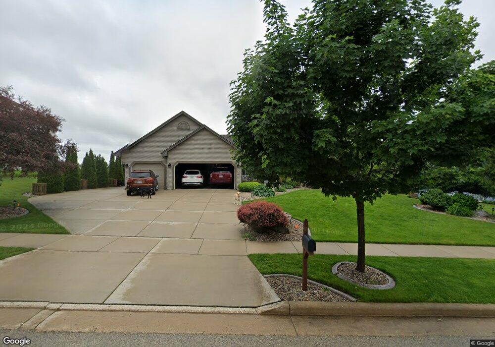
375 Cedar Crest Dr Slinger, WI 53086
Estimated Value: $566,712 - $690,000
3
Beds
2
Baths
2,201
Sq Ft
$282/Sq Ft
Est. Value
About This Home
This home is located at 375 Cedar Crest Dr, Slinger, WI 53086 and is currently estimated at $620,178, approximately $281 per square foot. 375 Cedar Crest Dr is a home located in Washington County with nearby schools including Slinger High School and St Peter Elementary School.
Ownership History
Date
Name
Owned For
Owner Type
Purchase Details
Closed on
May 23, 2008
Sold by
Benton Land & Development Llc
Bought by
Dempsey Brian P and Dempsey Christine L
Current Estimated Value
Home Financials for this Owner
Home Financials are based on the most recent Mortgage that was taken out on this home.
Original Mortgage
$75,200
Outstanding Balance
$47,294
Interest Rate
6.09%
Mortgage Type
Unknown
Estimated Equity
$572,884
Create a Home Valuation Report for This Property
The Home Valuation Report is an in-depth analysis detailing your home's value as well as a comparison with similar homes in the area
Home Values in the Area
Average Home Value in this Area
Purchase History
| Date | Buyer | Sale Price | Title Company |
|---|---|---|---|
| Dempsey Brian P | $94,000 | None Available |
Source: Public Records
Mortgage History
| Date | Status | Borrower | Loan Amount |
|---|---|---|---|
| Open | Dempsey Brian P | $75,200 |
Source: Public Records
Tax History
| Year | Tax Paid | Tax Assessment Tax Assessment Total Assessment is a certain percentage of the fair market value that is determined by local assessors to be the total taxable value of land and additions on the property. | Land | Improvement |
|---|---|---|---|---|
| 2025 | $6,714 | $555,800 | $100,000 | $455,800 |
| 2024 | $6,315 | $555,800 | $100,000 | $455,800 |
| 2023 | $5,442 | $405,700 | $77,000 | $328,700 |
| 2022 | $5,572 | $405,700 | $77,000 | $328,700 |
| 2021 | $5,101 | $389,500 | $77,000 | $312,500 |
| 2020 | $4,852 | $325,800 | $75,500 | $250,300 |
| 2019 | $4,791 | $325,800 | $75,500 | $250,300 |
| 2018 | $4,749 | $325,800 | $75,500 | $250,300 |
| 2017 | $4,619 | $302,700 | $72,000 | $230,700 |
| 2016 | $4,621 | $273,700 | $72,000 | $201,700 |
| 2015 | $4,837 | $273,700 | $72,000 | $201,700 |
| 2014 | $4,837 | $273,700 | $72,000 | $201,700 |
| 2013 | $5,256 | $294,300 | $82,000 | $212,300 |
Source: Public Records
Map
Nearby Homes
- Lt127 Sandstone St
- Lt132 Sandstone St
- Lt126 Sandstone St
- Lt131 Sandstone St
- Lt133 Sandstone St
- Lt96 Sandstone St
- 2484 Boulder Dr
- 447 Sandstone St
- 2491 Boulder Dr
- 2497 Boulder Dr
- Lt50 Limestone Ln
- Lt135 Limestone Ln
- Lt55 Limestone Ln
- Lt51 Limestone Ln
- 2470 Boulder Dr
- 438 Sandstone St
- 465 Sandstone St
- 2456 Boulder Dr
- 469 Limestone Ln
- 2474 Boulder Dr
- 372 Cedar Crest Dr
- 392 Cedar Crest Dr
- 395 Cedar Crest Dr
- 335 Cedar Crest Dr
- 302 Cedar Crest Dr
- 425 Cedar Crest Dr
- 422 Cedar Crest Dr
- 2402 Cedar Crest Dr
- 363 Sandstone St
- 395 Sandstone St
- 2392 Cedar Crest Dr
- 2387 Cedar Crest Dr
- 2372 Cedar Crest Dr
- 2367 Cedar Crest Dr
- 2352 Cedar Crest Dr
- 2390 Cedar Bluffs Dr
- 2430 Cedar Bluffs Dr
- 2446 Cedar Bluffs Dr
- 2446 Cedar Bluffs Dr Unit 2446
- 2415 Cedar Bluffs Dr
Your Personal Tour Guide
Ask me questions while you tour the home.