Estimated Value: $272,829 - $392,000
3
Beds
1
Bath
1,329
Sq Ft
$232/Sq Ft
Est. Value
About This Home
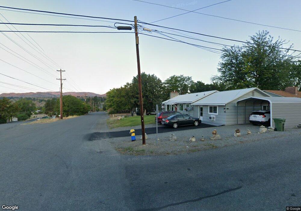
This home is located at 375 Grape Ave E, Omak, WA 98841 and is currently estimated at $308,457, approximately $232 per square foot. 375 Grape Ave E is a home with nearby schools including North Omak Elementary School, East Omak Elementary School, and Omak Middle School.
Ownership History
Date
Name
Owned For
Owner Type
Purchase Details
Closed on
May 7, 2008
Sold by
Johnson Viola F
Bought by
Williams Shannon and Rhodes Cory
Current Estimated Value
Home Financials for this Owner
Home Financials are based on the most recent Mortgage that was taken out on this home.
Original Mortgage
$204,250
Outstanding Balance
$128,808
Interest Rate
5.8%
Mortgage Type
New Conventional
Estimated Equity
$179,649
Create a Home Valuation Report for This Property
The Home Valuation Report is an in-depth analysis detailing your home's value as well as a comparison with similar homes in the area
Home Values in the Area
Average Home Value in this Area
Purchase History
| Date | Buyer | Sale Price | Title Company |
|---|---|---|---|
| Williams Shannon | $215,000 | Baines Title Co |
Source: Public Records
Mortgage History
| Date | Status | Borrower | Loan Amount |
|---|---|---|---|
| Open | Williams Shannon | $204,250 |
Source: Public Records
Tax History
| Year | Tax Paid | Tax Assessment Tax Assessment Total Assessment is a certain percentage of the fair market value that is determined by local assessors to be the total taxable value of land and additions on the property. | Land | Improvement |
|---|---|---|---|---|
| 2025 | $2,113 | $258,200 | $30,800 | $227,400 |
| 2024 | $2,113 | $250,600 | $30,800 | $219,800 |
| 2022 | $1,959 | $182,400 | $30,800 | $151,600 |
| 2021 | $1,875 | $182,400 | $30,800 | $151,600 |
| 2020 | $1,831 | $157,600 | $30,800 | $126,800 |
| 2019 | $1,746 | $157,600 | $30,800 | $126,800 |
| 2018 | $1,896 | $141,100 | $30,800 | $110,300 |
| 2017 | $1,725 | $141,100 | $30,800 | $110,300 |
| 2016 | $1,701 | $141,100 | $30,800 | $110,300 |
| 2015 | $1,437 | $124,300 | $30,800 | $93,500 |
| 2013 | -- | $124,300 | $30,800 | $93,500 |
Source: Public Records
Map
Nearby Homes
- 519 Locust St
- 215 E Dewberry Ave
- 222 Kenwood St
- 222 Kenwood St N
- 709 Paintbrush Ln
- 715 Locust St
- 319 Oak St
- 514 N Ash St
- 12 Dewberry Ave W
- 18 Cherry Ave W
- 728 Sunrise Dr
- 644 E Dewberry Ave
- 715 Quince St Unit 2225
- 216 Cherry Ave W
- 605 Pinyon Place
- 0 Asotin St S Unit NWM2460139
- 110 N Elm St
- 71 Shumway Rd
- 2 Lot (Lot 2 Powers Sp) Duck Lake Rd
- 1 Lot (Powers Sp) Duck Lake Rd
- 365 Grape Ave E
- 379 E Grape St
- 365 E Fig Ave
- 605 Locust St
- 609 Locust St
- 361 E Grape St
- 328 E Fig Ave
- 612 Kenwood St
- 360 E Grape St
- 415 Grape Ave E
- 360 Grape Ave E
- 618 Kenwood St N
- 415 E Grape St
- 211 E Elberta St
- 624 Kenwood St
- 29 Hopfner St
- 613 Locust St
- 207 E Elberta St
- 615 Locust St
- 425 Grape Ave E
Your Personal Tour Guide
Ask me questions while you tour the home.