375 Hiatt Rd Mount Airy, NC 27030
Estimated Value: $68,000 - $70,981
--
Bed
--
Bath
--
Sq Ft
0.99
Acres
About This Home
This home is located at 375 Hiatt Rd, Mount Airy, NC 27030 and is currently estimated at $69,491. 375 Hiatt Rd is a home with nearby schools including Pilot Mountain Elementary School, Pilot Mountain Middle School, and East Surry High School.
Ownership History
Date
Name
Owned For
Owner Type
Purchase Details
Closed on
Oct 28, 2021
Sold by
Boyd Judy
Bought by
Guarneros Jorge
Current Estimated Value
Purchase Details
Closed on
May 13, 2008
Sold by
Sheets Dan Allen and Sheets Shirley Ann
Bought by
Boyd Robert E and Boyd Judy
Home Financials for this Owner
Home Financials are based on the most recent Mortgage that was taken out on this home.
Original Mortgage
$288,000
Interest Rate
5.86%
Mortgage Type
Purchase Money Mortgage
Create a Home Valuation Report for This Property
The Home Valuation Report is an in-depth analysis detailing your home's value as well as a comparison with similar homes in the area
Home Values in the Area
Average Home Value in this Area
Purchase History
| Date | Buyer | Sale Price | Title Company |
|---|---|---|---|
| Guarneros Jorge | $50,000 | None Available | |
| Boyd Robert E | $32,000 | None Available |
Source: Public Records
Mortgage History
| Date | Status | Borrower | Loan Amount |
|---|---|---|---|
| Previous Owner | Boyd Robert E | $288,000 |
Source: Public Records
Tax History Compared to Growth
Tax History
| Year | Tax Paid | Tax Assessment Tax Assessment Total Assessment is a certain percentage of the fair market value that is determined by local assessors to be the total taxable value of land and additions on the property. | Land | Improvement |
|---|---|---|---|---|
| 2025 | $221 | $17,340 | $12,000 | $5,340 |
| 2024 | $221 | $17,100 | $12,000 | $5,100 |
| 2023 | $215 | $17,100 | $12,000 | $5,100 |
| 2022 | $213 | $17,100 | $12,000 | $5,100 |
| 2021 | $106 | $17,100 | $12,000 | $5,100 |
| 2020 | $111 | $17,180 | $12,000 | $5,180 |
| 2019 | $111 | $17,180 | $12,000 | $5,180 |
| 2018 | $111 | $17,180 | $0 | $0 |
| 2017 | $111 | $17,180 | $0 | $0 |
| 2016 | $111 | $17,180 | $0 | $0 |
| 2013 | -- | $17,240 | $0 | $0 |
Source: Public Records
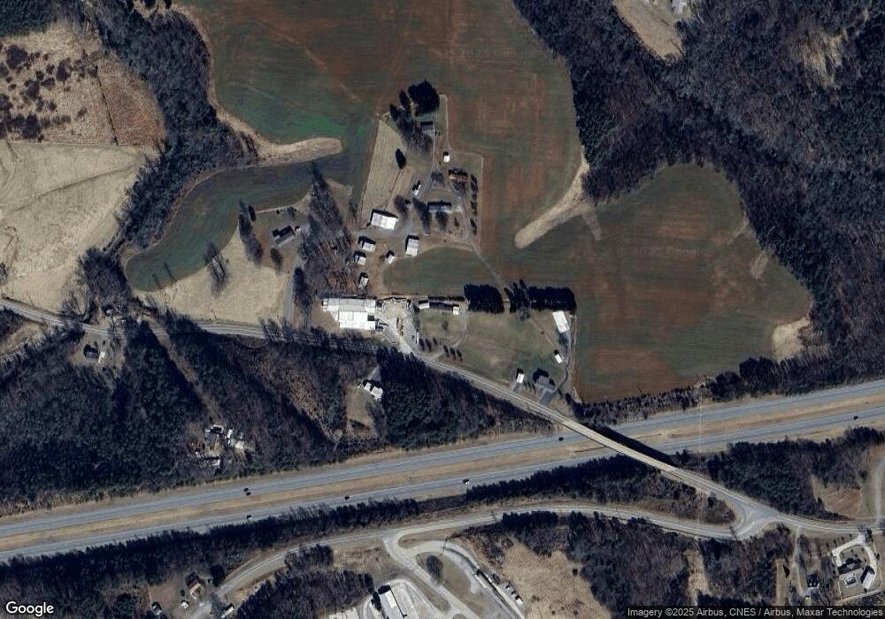
Map
Nearby Homes
- 366 Sheep Farm Rd
- 181 Fox Walk Ln
- 278 Old Us Highway 52
- 115 Stout Ln
- 250 High Meadow Trail
- 208 Holly Ave
- 177 Janice Dr
- 235 Hunter Ridge Ln
- 201 Circle View Rd
- 138 Arthur Needham Rd
- Tbd Farmbrook Rd
- 00 S Andy Griffith Pkwy
- 01 Farmbrook Rd
- 000000 Farmbrook Rd
- 00000 Farmbrook Rd
- 02 Farmbrook Rd
- 00 Farmbrook Rd
- 0 Old Us Highway 52 S
- TBD S Andy Griffith Pkwy
- TBD Marbury Trail
- 365 Hiatt Rd
- 196 Gods Way
- 360 Hiatt Rd
- 0 Hiatt Rd
- 127 Gods Way
- 274 Hiatt Rd
- 269 Hiatt Rd
- Old Hwy 52 Hiatt Rd
- 260 Hiatt Rd
- 302 Landfill Rd
- 301 Landfill Rd
- 250 Cp Riddle Trail
- 516 Hiatt Rd
- 355 Landfill Rd
- 231 Cp Riddle Trail
- 530 Hiatt Rd
- 210 Cp Riddle Trail
- 223 Cp Riddle Trail
- 206 Camp Riddle Trail
- 553 Hiatt Rd