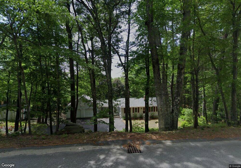
375 Log Rd Harrisville, RI 02830
Burrillville NeighborhoodEstimated Value: $488,670 - $579,000
2
Beds
2
Baths
2,280
Sq Ft
$242/Sq Ft
Est. Value
About This Home
This home is located at 375 Log Rd, Harrisville, RI 02830 and is currently estimated at $551,918, approximately $242 per square foot. 375 Log Rd is a home located in Providence County with nearby schools including Austin T. Levy School, Burrillville Middle School, and Burrillville High School.
Ownership History
Date
Name
Owned For
Owner Type
Purchase Details
Closed on
Jul 26, 1996
Sold by
Branker Jonathan
Bought by
Rondeau Russell R and Rondeau Linda
Current Estimated Value
Purchase Details
Closed on
Feb 1, 1994
Sold by
Durand Marc G and Durand Gail
Bought by
Branker Jonathan M
Create a Home Valuation Report for This Property
The Home Valuation Report is an in-depth analysis detailing your home's value as well as a comparison with similar homes in the area
Home Values in the Area
Average Home Value in this Area
Purchase History
| Date | Buyer | Sale Price | Title Company |
|---|---|---|---|
| Rondeau Russell R | $134,500 | -- | |
| Branker Jonathan M | $125,500 | -- |
Source: Public Records
Mortgage History
| Date | Status | Borrower | Loan Amount |
|---|---|---|---|
| Open | Branker Jonathan M | $23,500 | |
| Open | Branker Jonathan M | $175,000 | |
| Closed | Branker Jonathan M | $145,200 | |
| Closed | Branker Jonathan M | $85,000 |
Source: Public Records
Tax History Compared to Growth
Tax History
| Year | Tax Paid | Tax Assessment Tax Assessment Total Assessment is a certain percentage of the fair market value that is determined by local assessors to be the total taxable value of land and additions on the property. | Land | Improvement |
|---|---|---|---|---|
| 2025 | $5,241 | $440,400 | $134,100 | $306,300 |
| 2024 | $4,987 | $332,900 | $107,200 | $225,700 |
| 2023 | $4,790 | $332,900 | $107,200 | $225,700 |
| 2022 | $4,631 | $332,900 | $107,200 | $225,700 |
| 2021 | $4,289 | $261,200 | $100,800 | $160,400 |
| 2020 | $4,182 | $261,200 | $100,800 | $160,400 |
| 2019 | $4,179 | $261,200 | $100,800 | $160,400 |
| 2018 | $4,257 | $233,900 | $101,700 | $132,200 |
| 2017 | $4,107 | $233,900 | $101,700 | $132,200 |
| 2016 | $4,068 | $233,900 | $101,700 | $132,200 |
| 2015 | $3,748 | $198,500 | $90,800 | $107,700 |
| 2014 | $3,748 | $198,500 | $90,800 | $107,700 |
Source: Public Records
Map
Nearby Homes
- 15 Leonard Dr
- 0 Christina Way Unit 1360886
- 1450 Tarkiln Rd
- 494 Mattity Rd
- 0 Douglas Pike
- 389 Douglas Pike
- 450 Log Rd
- 291 Old Oxford Rd
- 850 Black Plain Rd
- 711 Black Plain Rd
- 12 Rustic Acres Dr
- 540 Greenville Rd
- 0 Walling Rd
- 34 Latham Farm Rd
- 55 Slater Dr
- 0 Follett St Unit 1394978
- 1885 Victory Hwy
- 1932 Victory Hwy
- 825 Victory Hwy
- 1835 Broncos Hwy