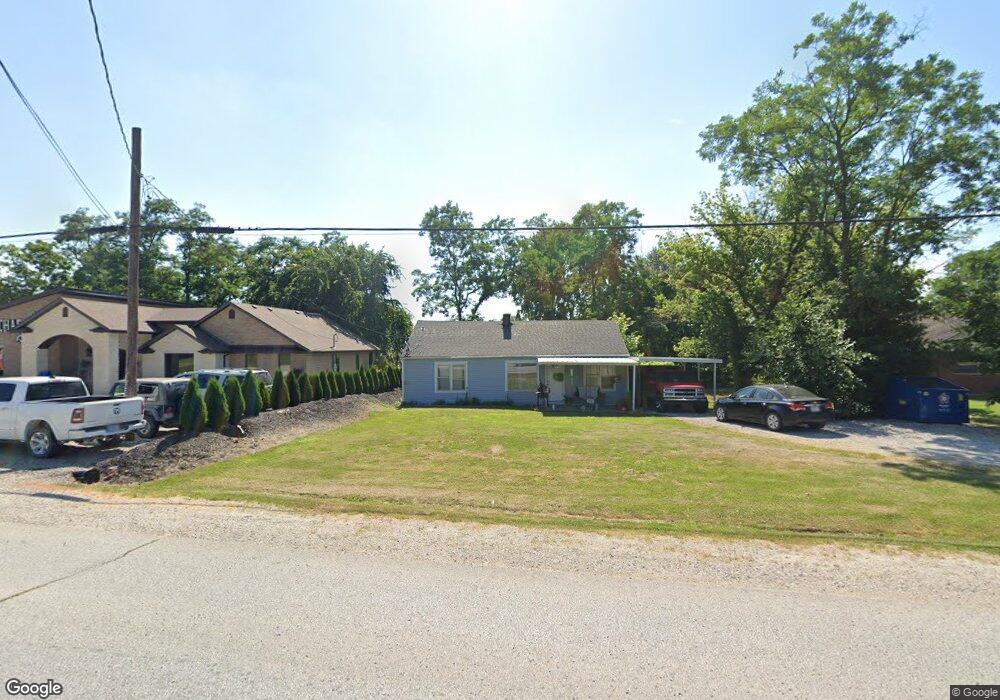
375 S Summit Dr Holts Summit, MO 65043
Estimated Value: $101,444 - $214,000
Studio
--
Bath
950
Sq Ft
$163/Sq Ft
Est. Value
About This Home
This home is located at 375 S Summit Dr, Holts Summit, MO 65043 and is currently estimated at $154,861, approximately $163 per square foot. 375 S Summit Dr is a home located in Callaway County with nearby schools including North Elementary School, Lewis & Clark Middle School, and Jefferson City High School.
Ownership History
Date
Name
Owned For
Owner Type
Purchase Details
Closed on
Sep 20, 2019
Sold by
Bond William R
Bought by
Schwant Properties Llc
Current Estimated Value
Home Financials for this Owner
Home Financials are based on the most recent Mortgage that was taken out on this home.
Original Mortgage
$36,171
Outstanding Balance
$31,406
Interest Rate
3.5%
Mortgage Type
New Conventional
Estimated Equity
$123,455
Purchase Details
Closed on
Aug 5, 2005
Sold by
Murphy Ronald and Murphy Debbie
Bought by
Bond William Ray
Home Financials for this Owner
Home Financials are based on the most recent Mortgage that was taken out on this home.
Original Mortgage
$44,150
Interest Rate
5.65%
Mortgage Type
New Conventional
Create a Home Valuation Report for This Property
The Home Valuation Report is an in-depth analysis detailing your home's value as well as a comparison with similar homes in the area
Home Values in the Area
Average Home Value in this Area
Purchase History
| Date | Buyer | Sale Price | Title Company |
|---|---|---|---|
| Schwant Properties Llc | -- | -- | |
| Bond William Ray | -- | -- |
Source: Public Records
Mortgage History
| Date | Status | Borrower | Loan Amount |
|---|---|---|---|
| Open | Schwant Properties Llc | $36,171 | |
| Previous Owner | Bond William Ray | $44,150 |
Source: Public Records
Tax History
| Year | Tax Paid | Tax Assessment Tax Assessment Total Assessment is a certain percentage of the fair market value that is determined by local assessors to be the total taxable value of land and additions on the property. | Land | Improvement |
|---|---|---|---|---|
| 2025 | $675 | $11,101 | $0 | $0 |
| 2024 | $675 | $11,101 | $0 | $0 |
| 2023 | $693 | $10,626 | $0 | $0 |
| 2022 | $662 | $10,626 | $1,761 | $8,865 |
| 2021 | $658 | $10,626 | $1,761 | $8,865 |
| 2020 | $667 | $10,626 | $1,761 | $8,865 |
| 2019 | $639 | $10,626 | $1,761 | $8,865 |
| 2018 | $641 | $10,626 | $1,761 | $8,865 |
| 2017 | $317 | $5,326 | $1,108 | $4,218 |
| 2016 | $272 | $5,330 | $0 | $0 |
| 2015 | $272 | $5,330 | $0 | $0 |
| 2014 | $278 | $5,330 | $0 | $0 |
Source: Public Records
Map
Nearby Homes
- 41 acres Dover Dr
- 0 Dover Dr
- 499 Perrey Dr
- 10 The Bluffs
- 315 Harwood St
- 277 Lorene St
- 415 Spring Ave
- 11247 Dena Dr
- 305 W Hillcrest Ave (Lot 1)
- 305 W Hillcrest Ave (Lot 2)
- LOT 6 Willow Woods
- 145 Brookstone Dr
- 723 Halifax Rd
- 110 Wildfire Ct
- 265 Rosewood Ct
- 260 Rosewood Ct
- 275 Rosewood Ct
- 11419 Valley View Ct
- 801 Halifax Rd
- 0 Halifax Rd
Your Personal Tour Guide
Ask me questions while you tour the home.