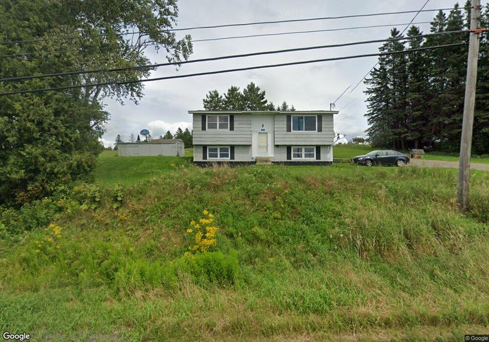
375 Us Route #1 Weston, ME 04424
Estimated Value: $126,000 - $194,000
3
Beds
1
Bath
912
Sq Ft
$168/Sq Ft
Est. Value
About This Home
This home is located at 375 Us Route #1, Weston, ME 04424 and is currently estimated at $152,972, approximately $167 per square foot. 375 Us Route #1 is a home located in Aroostook County with nearby schools including East Grand School.
Ownership History
Date
Name
Owned For
Owner Type
Purchase Details
Closed on
Aug 11, 2022
Sold by
Fredette Kevin B and Fredette Kimberly J
Bought by
Mogollon Sylvestor N and Poisson Diana M
Current Estimated Value
Home Financials for this Owner
Home Financials are based on the most recent Mortgage that was taken out on this home.
Original Mortgage
$78,347
Outstanding Balance
$74,904
Interest Rate
5.51%
Mortgage Type
FHA
Estimated Equity
$78,068
Purchase Details
Closed on
Jun 7, 2018
Sold by
Bernier Paul G and Bernier Lisa M
Bought by
Bernier Lt
Purchase Details
Closed on
Jun 13, 2011
Sold by
Cleaves Elbridge G and Cleaves Judith W
Bought by
Barker Sheldon L and Barker Shirley A
Purchase Details
Closed on
Aug 25, 2008
Sold by
Morin Eliette
Bought by
Morin Paul and Morin Judy
Create a Home Valuation Report for This Property
The Home Valuation Report is an in-depth analysis detailing your home's value as well as a comparison with similar homes in the area
Home Values in the Area
Average Home Value in this Area
Purchase History
| Date | Buyer | Sale Price | Title Company |
|---|---|---|---|
| Mogollon Sylvestor N | $107,000 | None Available | |
| Bernier Lt | -- | -- | |
| Barker Sheldon L | -- | -- | |
| Morin Paul | -- | -- |
Source: Public Records
Mortgage History
| Date | Status | Borrower | Loan Amount |
|---|---|---|---|
| Open | Mogollon Sylvestor N | $78,347 |
Source: Public Records
Tax History Compared to Growth
Tax History
| Year | Tax Paid | Tax Assessment Tax Assessment Total Assessment is a certain percentage of the fair market value that is determined by local assessors to be the total taxable value of land and additions on the property. | Land | Improvement |
|---|---|---|---|---|
| 2024 | $1,313 | $75,000 | $17,600 | $57,400 |
| 2023 | $1,094 | $62,500 | $14,700 | $47,800 |
| 2022 | $1,125 | $57,400 | $13,300 | $44,100 |
| 2021 | $1,096 | $57,400 | $13,300 | $44,100 |
| 2020 | $1,075 | $58,100 | $13,300 | $44,800 |
| 2019 | $1,074 | $58,700 | $13,300 | $45,400 |
| 2018 | $1,042 | $58,700 | $13,300 | $45,400 |
| 2017 | $1,038 | $59,300 | $13,300 | $46,000 |
| 2016 | $1,023 | $59,300 | $13,300 | $46,000 |
| 2015 | $1,054 | $59,900 | $13,300 | $46,600 |
| 2014 | $885 | $60,600 | $13,300 | $47,300 |
| 2013 | $823 | $45,700 | $9,200 | $36,500 |
Source: Public Records
Map
Nearby Homes
- 341 US Route 1
- 32 S Nagle Ln
- Lot 1 Woodland Ridge Rd
- 0 Woodland Ridge Rd Unit 35 24449234
- Lot 2 Woodland Ridge Rd
- 38 Bancroft Rd
- 358 Springfield Rd
- 1058 U S 1
- M26L11.2 Boulder Rd
- 52 Irish Settlement Rd
- 18 Bass Ln
- 178 Irish Settlement Rd
- Lot 3 Woodland Ridge Rd
- Lot 5 Woodland Ridge Rd
- Lot 35 Woodland Ridge Rd
- Lot 4 Woodland Ridge Rd
- Lot 6 Woodland Ridge Rd
- 39 Pratt Ln
- 95 Sandy Beach Rd
- 60-68 Lower Lake Rd