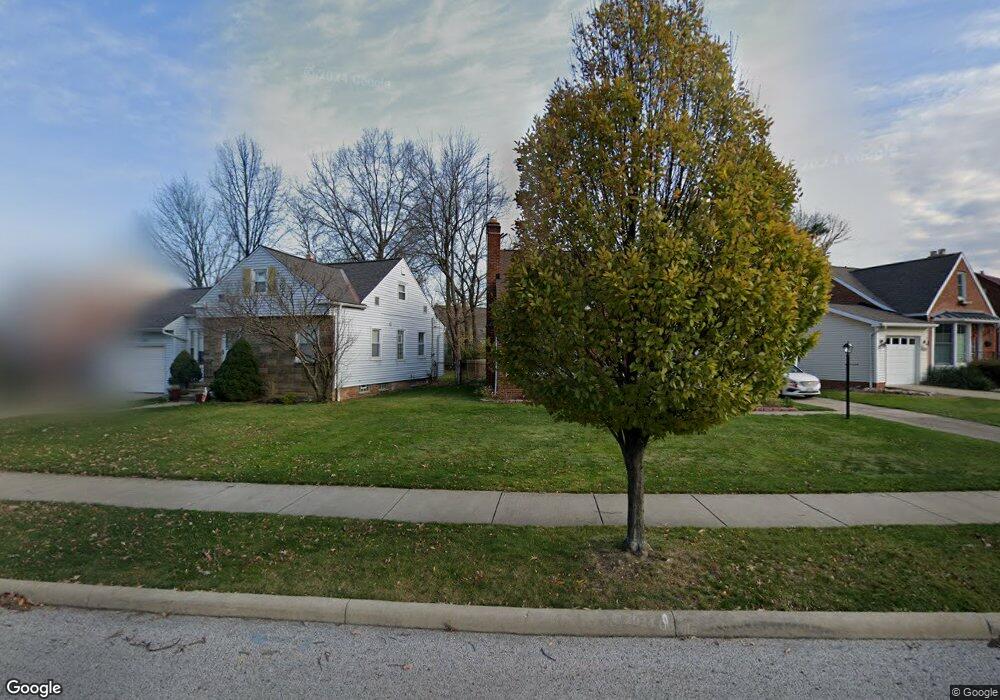
3751 Colony Rd Cleveland, OH 44118
Estimated Value: $150,000 - $175,000
3
Beds
2
Baths
1,500
Sq Ft
$107/Sq Ft
Est. Value
About This Home
This home is located at 3751 Colony Rd, Cleveland, OH 44118 and is currently estimated at $160,072, approximately $106 per square foot. 3751 Colony Rd is a home located in Cuyahoga County with nearby schools including Gearity Professional Development School, Monticello Middle School, and Cleveland Heights High School.
Ownership History
Date
Name
Owned For
Owner Type
Purchase Details
Closed on
Apr 3, 1985
Sold by
Johnson William F
Bought by
Johnson William F and Johnson Earlene
Current Estimated Value
Purchase Details
Closed on
Aug 29, 1983
Sold by
William F Harbour
Bought by
Johnson William F
Purchase Details
Closed on
May 27, 1982
Sold by
Harbour William F
Bought by
William F Harbour
Purchase Details
Closed on
Sep 5, 1978
Sold by
Sicherman Ernest L and M F
Bought by
Harbour William F
Purchase Details
Closed on
Jan 1, 1975
Bought by
Sicherman Ernest L and M F
Create a Home Valuation Report for This Property
The Home Valuation Report is an in-depth analysis detailing your home's value as well as a comparison with similar homes in the area
Home Values in the Area
Average Home Value in this Area
Purchase History
| Date | Buyer | Sale Price | Title Company |
|---|---|---|---|
| Johnson William F | -- | -- | |
| Johnson William F | $54,900 | -- | |
| William F Harbour | -- | -- | |
| Harbour William F | $48,800 | -- | |
| Sicherman Ernest L | -- | -- |
Source: Public Records
Tax History Compared to Growth
Tax History
| Year | Tax Paid | Tax Assessment Tax Assessment Total Assessment is a certain percentage of the fair market value that is determined by local assessors to be the total taxable value of land and additions on the property. | Land | Improvement |
|---|---|---|---|---|
| 2024 | $3,939 | $51,660 | $8,470 | $43,190 |
| 2023 | $3,793 | $40,780 | $6,160 | $34,620 |
| 2022 | $3,822 | $40,780 | $6,160 | $34,620 |
| 2021 | $3,752 | $40,780 | $6,160 | $34,620 |
| 2020 | $3,220 | $33,150 | $5,010 | $28,140 |
| 2019 | $3,061 | $94,700 | $14,300 | $80,400 |
| 2018 | $3,062 | $33,150 | $5,010 | $28,140 |
| 2017 | $1,983 | $22,620 | $3,960 | $18,660 |
| 2016 | $1,962 | $22,620 | $3,960 | $18,660 |
| 2015 | $1,975 | $22,620 | $3,960 | $18,660 |
| 2014 | $1,975 | $23,810 | $4,170 | $19,640 |
Source: Public Records
Map
Nearby Homes
- 13765 Cedar Rd Unit 303C
- 3809 Warrendale Rd
- 13805 Cedar Rd Unit 203
- 13726 Cedar Rd
- 3778 E Antisdale Rd
- 13677 Cedar Rd
- 3733 E Antisdale Rd
- 2192 Barrington Rd
- 3781 Bushnell Rd
- 3631 Cummings Rd
- 1948 Staunton Rd
- 3797 Bushnell Rd
- 3841 Washington Blvd
- 2216 Barrington Rd
- 13605 Cedar Rd
- 1913 Staunton Rd
- 3621 Cedarbrook Rd
- 2203 Brockway Rd
- 2227 Cranston Rd
- 2244 Edgerton Rd
- 2069 Halsey Rd
- 3759 Colony Rd
- 2065 Halsey Rd
- 3765 Colony Rd
- 3760 Warrendale Rd
- 3766 Warrendale Rd
- 2057 Halsey Rd
- 3771 Colony Rd
- 3756 Colony Rd
- 3770 Warrendale Rd
- 3752 Colony Rd
- 3760 Colony Rd
- 3775 Colony Rd
- 3764 Colony Rd
- 2068 Halsey Rd
- 2072 Halsey Rd
- 3774 Warrendale Rd
- 2064 Halsey Rd
- 3770 Colony Rd
- 3781 Colony Rd