3754 Westfield Rd Mount Airy, NC 27030
Estimated Value: $243,000 - $370,000
3
Beds
2
Baths
1,424
Sq Ft
$217/Sq Ft
Est. Value
About This Home
This home is located at 3754 Westfield Rd, Mount Airy, NC 27030 and is currently estimated at $308,620, approximately $216 per square foot. 3754 Westfield Rd is a home located in Surry County with nearby schools including Westfield Elementary School, Pilot Mountain Middle School, and East Surry High School.
Ownership History
Date
Name
Owned For
Owner Type
Purchase Details
Closed on
Apr 21, 2011
Sold by
Wofford Robert Allen and Wofford Hazel N
Bought by
Taylor Patrick Allen and Taylor Judith A
Current Estimated Value
Home Financials for this Owner
Home Financials are based on the most recent Mortgage that was taken out on this home.
Original Mortgage
$168,911
Outstanding Balance
$116,168
Interest Rate
4.81%
Mortgage Type
New Conventional
Estimated Equity
$192,452
Purchase Details
Closed on
Feb 1, 2003
Purchase Details
Closed on
May 1, 1989
Create a Home Valuation Report for This Property
The Home Valuation Report is an in-depth analysis detailing your home's value as well as a comparison with similar homes in the area
Home Values in the Area
Average Home Value in this Area
Purchase History
| Date | Buyer | Sale Price | Title Company |
|---|---|---|---|
| Taylor Patrick Allen | $163,000 | None Available | |
| -- | $141,000 | -- | |
| -- | $7,500 | -- |
Source: Public Records
Mortgage History
| Date | Status | Borrower | Loan Amount |
|---|---|---|---|
| Open | Taylor Patrick Allen | $168,911 |
Source: Public Records
Tax History Compared to Growth
Tax History
| Year | Tax Paid | Tax Assessment Tax Assessment Total Assessment is a certain percentage of the fair market value that is determined by local assessors to be the total taxable value of land and additions on the property. | Land | Improvement |
|---|---|---|---|---|
| 2025 | $1,249 | $206,740 | $23,730 | $183,010 |
| 2024 | $1,068 | $164,490 | $23,730 | $140,760 |
| 2023 | $1,050 | $164,490 | $23,730 | $140,760 |
| 2022 | $1,050 | $164,490 | $23,730 | $140,760 |
| 2021 | $1,068 | $164,490 | $23,730 | $140,760 |
| 2020 | $1,024 | $151,380 | $21,700 | $129,680 |
| 2019 | $1,021 | $151,380 | $0 | $0 |
| 2018 | $1,019 | $151,380 | $0 | $0 |
| 2017 | $1,018 | $151,380 | $0 | $0 |
| 2016 | $1,018 | $151,380 | $0 | $0 |
| 2013 | -- | $151,380 | $0 | $0 |
Source: Public Records
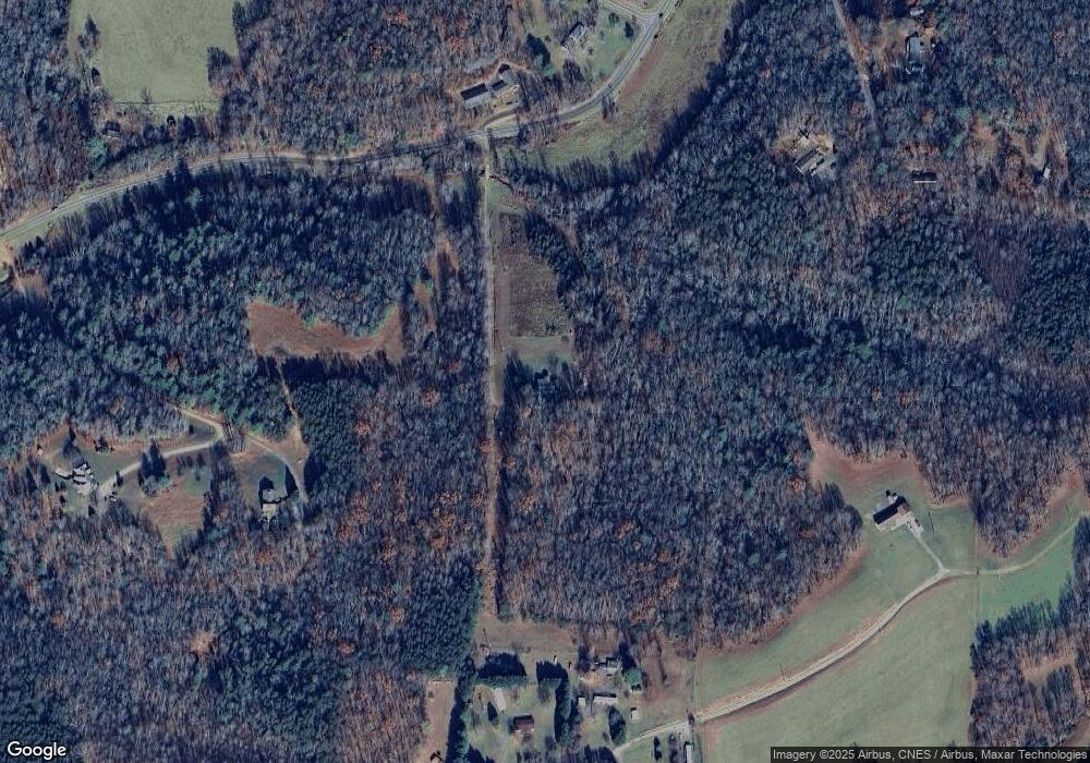
Map
Nearby Homes
- 731 Indian Grove Church Rd
- 583 Snody Rd
- 0 Blue Hollow Rd Unit 33 1176021
- 0 Blue Hollow Rd Unit 23105199
- 000 Blue Hollow Rd Unit 27
- 200 Englewood Trail
- 00 Blue Hollow Rd Unit 5
- 140 Daniels Dell Ln
- Lot 5 Howell Rd
- Lot 4,5,6 Sideview Ln
- 733 Slate Mountain Rd
- 0 NE Pine St
- 107 Cory Trail
- 0 Norman Rd
- 201 Circle View Rd
- 00 Paynetown Rd
- 2384 Westfield Rd
- 124 Rocky Ln
- 2326 Westfield Rd
- 7.8ac Norman Rd
- 140 Ogle Trail
- 237 Spring Hollow Trail
- 118 Ogle Trail
- 308 Hersey Collins Rd
- 114 Snody Rd
- 241 Hersey Collins Rd
- 174 Escape Ln
- 151 Snody Rd
- 240 Spring Hollow Trail
- 236 Hersey Collins Rd
- 229 Hersey Collins Rd
- 143 Escape Ln
- 3657 Westfield Rd
- 208 Escape Ln
- 149 Milton Hollow Trail
- 207 Hersey Collins Rd
- 172 Milton Hollow Trail
- 212 Snody Rd
- 205 Snody Rd
- 147 Lazy Brook Ln