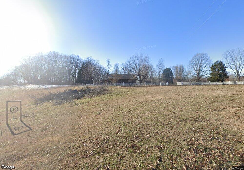
376 Harve Brown Rd Bethpage, TN 37022
Bethpage NeighborhoodEstimated Value: $295,589 - $355,000
Studio
1
Bath
1,440
Sq Ft
$226/Sq Ft
Est. Value
About This Home
This home is located at 376 Harve Brown Rd, Bethpage, TN 37022 and is currently estimated at $326,147, approximately $226 per square foot. 376 Harve Brown Rd is a home located in Sumner County with nearby schools including North Sumner Elementary School, Westmoreland Middle School, and Westmoreland High School.
Ownership History
Date
Name
Owned For
Owner Type
Purchase Details
Closed on
Aug 9, 2024
Sold by
Bradley Betty Ann
Bought by
Grantham Vicki
Current Estimated Value
Purchase Details
Closed on
Jul 19, 2024
Sold by
Bradley Betty Ann
Bought by
Grantham Vicki
Purchase Details
Closed on
Jun 22, 2012
Sold by
Perdue Harold D and Perdue Lisa G
Bought by
Bradley Dayton R and Bradley Betty A
Purchase Details
Closed on
Apr 13, 2007
Sold by
Perdue H V H and Perdue Mary O
Bought by
Gregory Jeffery Allen and Gregory Chanda Renae
Home Financials for this Owner
Home Financials are based on the most recent Mortgage that was taken out on this home.
Original Mortgage
$33,469
Interest Rate
6.1%
Mortgage Type
Purchase Money Mortgage
Create a Home Valuation Report for This Property
The Home Valuation Report is an in-depth analysis detailing your home's value as well as a comparison with similar homes in the area
Home Values in the Area
Average Home Value in this Area
Purchase History
| Date | Buyer | Sale Price | Title Company |
|---|---|---|---|
| Grantham Vicki | -- | None Listed On Document | |
| Grantham Vicki | -- | None Listed On Document | |
| Bradley Dayton R | -- | None Available | |
| Gregory Jeffery Allen | $32,000 | Benchmark Title Company |
Source: Public Records
Mortgage History
| Date | Status | Borrower | Loan Amount |
|---|---|---|---|
| Previous Owner | Gregory Jeffery Allen | $33,469 |
Source: Public Records
Tax History
| Year | Tax Paid | Tax Assessment Tax Assessment Total Assessment is a certain percentage of the fair market value that is determined by local assessors to be the total taxable value of land and additions on the property. | Land | Improvement |
|---|---|---|---|---|
| 2025 | $920 | $64,775 | $16,700 | $48,075 |
| 2024 | $1,061 | $74,675 | $26,600 | $48,075 |
| 2023 | $619 | $27,500 | $8,050 | $19,450 |
| 2022 | $622 | $27,500 | $8,050 | $19,450 |
| 2021 | $622 | $27,500 | $8,050 | $19,450 |
| 2020 | $622 | $27,500 | $8,050 | $19,450 |
| 2019 | $622 | $0 | $0 | $0 |
| 2018 | $581 | $0 | $0 | $0 |
| 2017 | $581 | $0 | $0 | $0 |
| 2016 | $581 | $0 | $0 | $0 |
| 2015 | -- | $0 | $0 | $0 |
| 2014 | -- | $0 | $0 | $0 |
Source: Public Records
Map
Nearby Homes
- 405 Fairfield Rd
- 2999 Oak Grove Church Rd
- 3489 Highway 259
- 2844 Highway 52 E
- 3508 Highway 259
- 2487 Highway 52 E
- 3811 Highway 52 E
- 450 Paul Thompson Rd
- 0 Reese Rd
- 2583 W Mount Vernon Rd
- 192 Nubia Rd Unit 4
- 0 Mt Vernon Rd W
- 422 Parker Rd
- 1129 Reese Rd
- 1141 Reese Rd
- 504 Highland Rd
- 1528 Fairfield Rd
- 2326 Fairfield Rd
- 1028 Mount Vernon Rd
- 0 E Dana Kepley Rd
- 120 Simpson Rd
- 0 Harve Brown Rd Unit RTC2399144
- 350 Harve Brown Rd
- 375 Harve Brown Rd
- 405 Harve Brown Rd
- 361 Harve Brown Rd
- 140 Simpson Rd
- 132 Simpson Rd
- 460 Blackey Bandy Rd
- 444 Blackey Bandy Rd
- 316 Harve Brown Rd
- 440 Blackey Bandy Rd
- 455 Harve Brown Rd
- 420 Blackey Bandy Rd
- 480 Harve Brown Rd
- 298 Harve Brown Rd
- 421 Blackey Bandy Rd
- 267 Harve Brown Rd
- 405 Blackey Bandy Rd
Your Personal Tour Guide
Ask me questions while you tour the home.