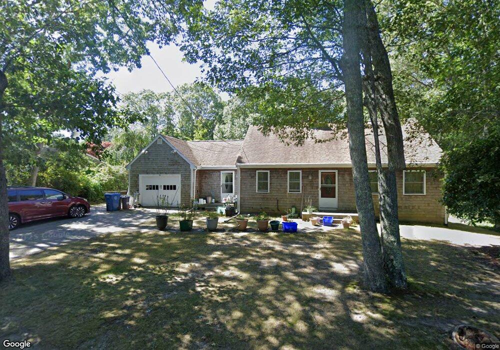
376 Locustfield Rd East Falmouth, MA 02536
Hatchville NeighborhoodEstimated Value: $574,000 - $811,000
4
Beds
2
Baths
1,854
Sq Ft
$374/Sq Ft
Est. Value
About This Home
This home is located at 376 Locustfield Rd, East Falmouth, MA 02536 and is currently estimated at $693,750, approximately $374 per square foot. 376 Locustfield Rd is a home located in Barnstable County with nearby schools including Mullen-Hall School, Morse Pond School, and Lawrence School.
Ownership History
Date
Name
Owned For
Owner Type
Purchase Details
Closed on
Jan 14, 1993
Sold by
Paine Kakthryn Ann
Bought by
Bossi James S and Bossi Johanna B
Current Estimated Value
Home Financials for this Owner
Home Financials are based on the most recent Mortgage that was taken out on this home.
Original Mortgage
$118,000
Interest Rate
8.3%
Mortgage Type
Purchase Money Mortgage
Create a Home Valuation Report for This Property
The Home Valuation Report is an in-depth analysis detailing your home's value as well as a comparison with similar homes in the area
Home Values in the Area
Average Home Value in this Area
Purchase History
| Date | Buyer | Sale Price | Title Company |
|---|---|---|---|
| Bossi James S | $118,000 | -- |
Source: Public Records
Mortgage History
| Date | Status | Borrower | Loan Amount |
|---|---|---|---|
| Open | Bossi James S | $125,000 | |
| Closed | Bossi James S | $116,450 | |
| Closed | Bossi James S | $118,000 |
Source: Public Records
Tax History Compared to Growth
Tax History
| Year | Tax Paid | Tax Assessment Tax Assessment Total Assessment is a certain percentage of the fair market value that is determined by local assessors to be the total taxable value of land and additions on the property. | Land | Improvement |
|---|---|---|---|---|
| 2025 | $3,278 | $558,400 | $150,800 | $407,600 |
| 2024 | $3,232 | $514,700 | $142,800 | $371,900 |
| 2023 | $3,206 | $463,300 | $142,800 | $320,500 |
| 2022 | $2,953 | $366,800 | $107,700 | $259,100 |
| 2021 | $2,820 | $331,800 | $103,000 | $228,800 |
| 2020 | $2,769 | $322,400 | $93,600 | $228,800 |
| 2019 | $2,714 | $317,000 | $93,600 | $223,400 |
| 2018 | $2,616 | $304,200 | $93,600 | $210,600 |
| 2017 | $2,524 | $295,900 | $93,600 | $202,300 |
| 2016 | $2,477 | $295,900 | $93,600 | $202,300 |
| 2015 | $2,440 | $297,900 | $93,600 | $204,300 |
| 2014 | $2,456 | $301,400 | $98,600 | $202,800 |
Source: Public Records
Map
Nearby Homes
- 12 Beach Plum Path
- 4 Josiah Path
- 7 Josiah Path
- 18 Josiah Path
- 20 Josiah Path
- 21 Josiah Path
- 30 Josiah Path
- 273 Sandwich Rd
- 149 Brick Kiln Rd
- 25 Percival Rd
- 32 Jamie Ln
- 12 Rock Hollow Dr
- 63 Pine Valley Dr Unit 63 aka 30A
- 17 Pinewood Dr
- 68 Deepwood Dr
- 59 Whitecaps Dr
- 131 Heritage Cir
- 34 Mckenna Ridge Rd
- 70 Meredith Dr
- 372 Locustfield Rd
- 382 Locustfield Rd
- 382A Locustfield Rd
- 379 Locustfield Rd
- 368 Locustfield Rd
- 373 Locustfield Rd
- 383 Locustfield Rd
- 364 Locustfield Rd
- 369 Locustfield Rd
- 392 Locustfield Rd
- 365 Locustfield Rd
- 393 Locustfield Rd
- 39 Mares Pond Dr
- 359 Locustfield Rd
- 41 Mares Pond Dr
- 31 Mares Pond Dr
- 25 Mares Pond Dr
- 17 Mares Pond Dr
- 49 Mares Pond Dr
- 8 Pattee Rd