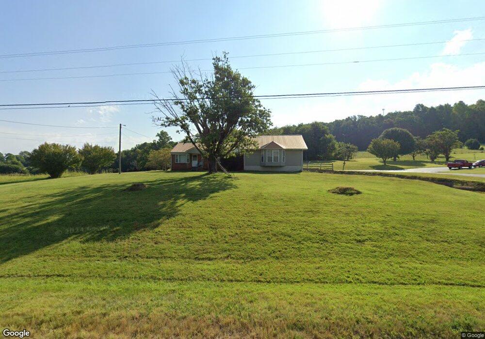
3762 Roberts Matthews Hwy Sparta, TN 38583
Estimated Value: $293,000
--
Bed
2
Baths
2,097
Sq Ft
$140/Sq Ft
Est. Value
About This Home
This home is located at 3762 Roberts Matthews Hwy, Sparta, TN 38583 and is currently estimated at $293,000, approximately $139 per square foot. 3762 Roberts Matthews Hwy is a home located in White County with nearby schools including Northfield Elementary School, White County Middle School, and White County High School.
Ownership History
Date
Name
Owned For
Owner Type
Purchase Details
Closed on
Feb 10, 2016
Sold by
Brown Tommy
Bought by
Brown Tommy Life Estate
Current Estimated Value
Purchase Details
Closed on
Feb 14, 2007
Purchase Details
Closed on
May 28, 1996
Sold by
Roberts Richard L
Bought by
Oconnor Utility District
Purchase Details
Closed on
Jul 19, 1995
Sold by
Myrtle Scott
Bought by
Roberts Richard L
Purchase Details
Closed on
May 17, 1994
Bought by
Scott Myrtle
Create a Home Valuation Report for This Property
The Home Valuation Report is an in-depth analysis detailing your home's value as well as a comparison with similar homes in the area
Home Values in the Area
Average Home Value in this Area
Purchase History
| Date | Buyer | Sale Price | Title Company |
|---|---|---|---|
| Brown Tommy Life Estate | $25,000 | -- | |
| -- | -- | -- | |
| Oconnor Utility District | $8,150 | -- | |
| Roberts Richard L | $2,500 | -- | |
| Scott Myrtle | $64,500 | -- |
Source: Public Records
Tax History Compared to Growth
Tax History
| Year | Tax Paid | Tax Assessment Tax Assessment Total Assessment is a certain percentage of the fair market value that is determined by local assessors to be the total taxable value of land and additions on the property. | Land | Improvement |
|---|---|---|---|---|
| 2024 | $969 | $47,250 | $11,100 | $36,150 |
| 2023 | $969 | $47,250 | $11,100 | $36,150 |
| 2022 | $969 | $47,250 | $11,100 | $36,150 |
| 2021 | $969 | $47,250 | $11,100 | $36,150 |
| 2020 | $969 | $47,250 | $11,100 | $36,150 |
| 2019 | $832 | $40,575 | $8,375 | $32,200 |
| 2018 | $832 | $40,575 | $8,375 | $32,200 |
| 2017 | $832 | $40,575 | $8,375 | $32,200 |
| 2016 | $636 | $40,575 | $8,375 | $32,200 |
| 2015 | $574 | $31,000 | $8,000 | $23,000 |
| 2014 | -- | $31,000 | $8,000 | $23,000 |
| 2013 | -- | $32,025 | $8,175 | $23,850 |
Source: Public Records
Map
Nearby Homes
- lot 7 James Holman Rd
- lot 6 James Holman Rd
- 221 Magnolia Rd
- 191 Rustling Oaks Dr
- 159 Rustling Oaks Dr
- 147 Bob White Dr
- 130 Mallard Dr
- 1045 Mullican Rd
- 761 Walter Stone Rd
- 0 Saylor Rd
- 00 Saylor Rd
- 00 Oakcrest Dr
- 1236 Swamp Rd
- 366 S Bunker Hill Rd
- 00 Milk Plant Rd
- 470 Black Oak Rd
- 486 Black Oak Rd
- 678 Black Oak Rd
- 3714 Roberts Matthews Hwy
- 3703 Roberts Matthews Hwy
- 3661 Roberts Matthews Hwy
- 221 Torrence Ln
- 3647 Roberts Matthews Hwy
- 226 Torrence Ln
- 159 Scott Cemetery Rd
- 241 Clouse Rd
- 3929 Roberts Matthews Hwy
- 3929 Roberts Matthews Hwy
- 278 James Holman Rd
- 211 Torrence Ln
- 268 James Holman Rd
- 206 Torrence Ln
- 147 Bessie Brown Rd
- 296 James Holman Rd
- 195 Torrence Ln
- 128 Bessie Brown Rd
- 288 Clouse Rd
- 186 Torrence Ln