3765 Bedow Rd Fort Ripley, MN 56449
Estimated Value: $332,000 - $548,000
3
Beds
2
Baths
1,080
Sq Ft
$418/Sq Ft
Est. Value
About This Home
This home is located at 3765 Bedow Rd, Fort Ripley, MN 56449 and is currently estimated at $451,865, approximately $418 per square foot. 3765 Bedow Rd is a home located in Crow Wing County with nearby schools including Riverside Elementary School, Forestview Middle School, and Brainerd Senior High School.
Ownership History
Date
Name
Owned For
Owner Type
Purchase Details
Closed on
Nov 1, 2014
Sold by
Johanns Jeffrey
Bought by
Mankowski Michael and Mankowski Kelli
Current Estimated Value
Home Financials for this Owner
Home Financials are based on the most recent Mortgage that was taken out on this home.
Original Mortgage
$197,400
Outstanding Balance
$152,488
Interest Rate
4.23%
Estimated Equity
$299,377
Purchase Details
Closed on
Oct 31, 2014
Sold by
Johanns Jeffrey Jeffrey
Bought by
Mankowski Michael and Mankowski Kelli
Home Financials for this Owner
Home Financials are based on the most recent Mortgage that was taken out on this home.
Original Mortgage
$197,400
Outstanding Balance
$152,488
Interest Rate
4.23%
Estimated Equity
$299,377
Purchase Details
Closed on
Jun 1, 2006
Sold by
Madland James R and Madland Beverly J
Bought by
Johanns Jeffrey R
Create a Home Valuation Report for This Property
The Home Valuation Report is an in-depth analysis detailing your home's value as well as a comparison with similar homes in the area
Home Values in the Area
Average Home Value in this Area
Purchase History
| Date | Buyer | Sale Price | Title Company |
|---|---|---|---|
| Mankowski Michael | $203,000 | -- | |
| Mankowski Michael | $203,000 | -- | |
| Johanns Jeffrey R | $215,000 | -- |
Source: Public Records
Mortgage History
| Date | Status | Borrower | Loan Amount |
|---|---|---|---|
| Open | Mankowski Michael | $197,400 |
Source: Public Records
Tax History Compared to Growth
Tax History
| Year | Tax Paid | Tax Assessment Tax Assessment Total Assessment is a certain percentage of the fair market value that is determined by local assessors to be the total taxable value of land and additions on the property. | Land | Improvement |
|---|---|---|---|---|
| 2025 | $2,254 | $427,300 | $152,900 | $274,400 |
| 2024 | $2,254 | $357,800 | $144,300 | $213,500 |
| 2023 | $1,664 | $265,000 | $107,700 | $157,300 |
| 2022 | $1,984 | $261,700 | $94,600 | $167,100 |
| 2021 | $2,050 | $242,100 | $138,900 | $103,200 |
| 2020 | $1,950 | $239,400 | $140,700 | $98,700 |
| 2019 | $1,972 | $233,200 | $137,100 | $96,100 |
| 2018 | $1,422 | $233,000 | $137,100 | $95,900 |
| 2017 | $1,356 | $175,310 | $109,771 | $65,539 |
| 2016 | $1,452 | $162,600 | $101,000 | $61,600 |
| 2015 | $1,488 | $161,600 | $100,800 | $60,800 |
| 2014 | $718 | $158,400 | $100,400 | $58,000 |
Source: Public Records
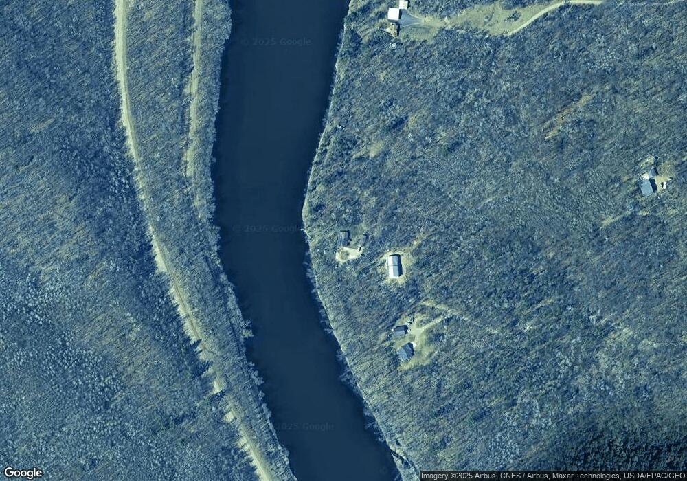
Map
Nearby Homes
- 2761 Mississippi Shores Rd
- 5471 Crow Wing Lake Rd
- 15576 263rd St
- 8624- 50th Ave SW
- xxx Birch Curve Rd
- XXX Mallard Dr
- xxx Cardinal Trail
- TBD 4.38 Acres 13th Ave SW
- 27331 Honey Hill Rd
- TBD Powderhorn Dr
- xxx Lake Camile Lost Lake
- 13946 Hardy Lake Rd SW
- XXX Norway Trail
- 6887 Jennifer Cir
- XXX Lake Camille Dr
- 13869 Hardy Lake Rd SW
- XXX Lake Camile Dr
- XXX Opal Ln
- TBD Timber Ridge Dr
- TBD 263rd St