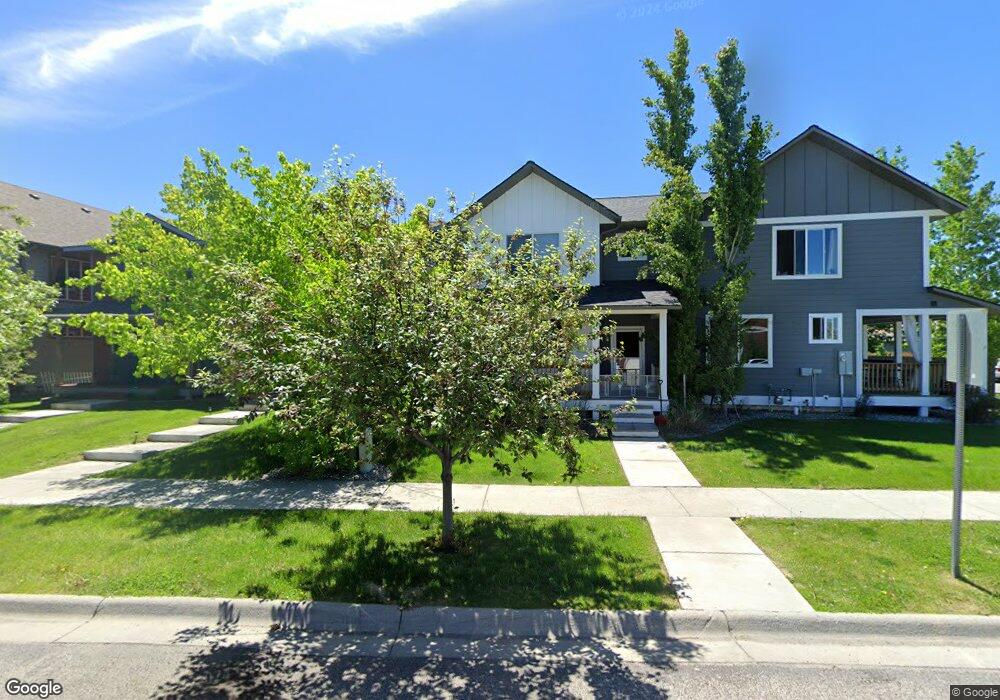
3766 Palm St Bozeman, MT 59718
Harvest Creek NeighborhoodEstimated Value: $557,268 - $583,000
3
Beds
3
Baths
2,058
Sq Ft
$276/Sq Ft
Est. Value
About This Home
This home is located at 3766 Palm St, Bozeman, MT 59718 and is currently estimated at $567,817, approximately $275 per square foot. 3766 Palm St is a home with nearby schools including Meadowlark Elementary School, Chief Joseph Middle School, and Gallatin High School.
Ownership History
Date
Name
Owned For
Owner Type
Purchase Details
Closed on
Jul 3, 2018
Sold by
Stott John Cory
Bought by
Camden Property Group Llc
Current Estimated Value
Purchase Details
Closed on
May 31, 2016
Sold by
Haskins Marty J and Haskins Kelly
Bought by
Stott John Cory
Home Financials for this Owner
Home Financials are based on the most recent Mortgage that was taken out on this home.
Original Mortgage
$244,200
Interest Rate
3.75%
Mortgage Type
FHA
Create a Home Valuation Report for This Property
The Home Valuation Report is an in-depth analysis detailing your home's value as well as a comparison with similar homes in the area
Home Values in the Area
Average Home Value in this Area
Purchase History
| Date | Buyer | Sale Price | Title Company |
|---|---|---|---|
| Camden Property Group Llc | -- | None Available | |
| Stott John Cory | -- | First American Title Company |
Source: Public Records
Mortgage History
| Date | Status | Borrower | Loan Amount |
|---|---|---|---|
| Previous Owner | Stott John Cory | $244,200 |
Source: Public Records
Tax History Compared to Growth
Tax History
| Year | Tax Paid | Tax Assessment Tax Assessment Total Assessment is a certain percentage of the fair market value that is determined by local assessors to be the total taxable value of land and additions on the property. | Land | Improvement |
|---|---|---|---|---|
| 2025 | $2,566 | $580,700 | $0 | $0 |
| 2024 | $3,655 | $549,000 | $0 | $0 |
| 2023 | $3,537 | $549,000 | $0 | $0 |
| 2022 | $2,733 | $356,400 | $0 | $0 |
| 2021 | $3,016 | $356,400 | $0 | $0 |
| 2020 | $2,765 | $323,400 | $0 | $0 |
| 2019 | $2,828 | $323,400 | $0 | $0 |
| 2018 | $2,623 | $278,000 | $0 | $0 |
| 2017 | $2,453 | $278,000 | $0 | $0 |
| 2016 | $2,078 | $220,000 | $0 | $0 |
| 2015 | $2,080 | $220,000 | $0 | $0 |
| 2014 | $2,060 | $128,260 | $0 | $0 |
Source: Public Records
Map
Nearby Homes
- 970 Meagher Ave
- 988 Meagher Ave
- 3598 Annie St
- 887 Hanson St
- 890 Sanders Ave Unit K
- 4178 Annie St
- 742 Jardine Ave
- 302 Swayback Ln
- 357 Swayback Ln
- 111 White Horse Loop
- 3241 Annie St
- 4067 Opal St
- 508 Sweetgrass Ave
- 560 Christopher Way
- 404 Flathead Ave
- 1599 Bora Way
- 3108 Oliver St
- 978 Auger Ln
- 520 Valley Dr
- 1460 Windrow Dr