3767 Jarrett Rd Unit 12A Newton, NC 28658
Estimated Value: $47,834
--
Bed
--
Bath
--
Sq Ft
4
Acres
About This Home
This home is located at 3767 Jarrett Rd Unit 12A, Newton, NC 28658 and is currently estimated at $47,834. 3767 Jarrett Rd Unit 12A is a home located in Catawba County with nearby schools including Fred T. Foard High School, Blackburn Elementary School, and Jacobs Fork Middle School.
Ownership History
Date
Name
Owned For
Owner Type
Purchase Details
Closed on
Jan 27, 2011
Sold by
Whisnant Roscoe John and Whisnant Sheila H
Bought by
Willis Dale G and Willis Evelyn S
Current Estimated Value
Purchase Details
Closed on
Jul 2, 2008
Sold by
Rhodes Donna Lynne Heavner Wells and Rhodes Kenneth
Bought by
Whisnant Roscoe John
Purchase Details
Closed on
Feb 12, 2007
Sold by
Wells Donna Lynne Heavner and Rogers James Darren
Bought by
Wells Donna Lynne Heavner
Purchase Details
Closed on
Jul 1, 1977
Create a Home Valuation Report for This Property
The Home Valuation Report is an in-depth analysis detailing your home's value as well as a comparison with similar homes in the area
Home Values in the Area
Average Home Value in this Area
Purchase History
| Date | Buyer | Sale Price | Title Company |
|---|---|---|---|
| Willis Dale G | $19,000 | None Available | |
| Whisnant Roscoe John | $10,000 | None Available | |
| Wells Donna Lynne Heavner | -- | None Available | |
| -- | $6,500 | -- |
Source: Public Records
Tax History Compared to Growth
Tax History
| Year | Tax Paid | Tax Assessment Tax Assessment Total Assessment is a certain percentage of the fair market value that is determined by local assessors to be the total taxable value of land and additions on the property. | Land | Improvement |
|---|---|---|---|---|
| 2025 | $73 | $16,000 | $16,000 | $0 |
| 2024 | $73 | $16,000 | $16,000 | $0 |
| 2023 | $73 | $16,000 | $16,000 | $0 |
| 2022 | $104 | $16,000 | $16,000 | $0 |
| 2021 | $102 | $16,000 | $16,000 | $0 |
| 2020 | $102 | $16,000 | $16,000 | $0 |
| 2019 | $102 | $16,000 | $0 | $0 |
| 2018 | $99 | $15,600 | $15,600 | $0 |
| 2017 | $99 | $0 | $0 | $0 |
| 2016 | $99 | $0 | $0 | $0 |
| 2015 | $108 | $15,600 | $15,600 | $0 |
| 2014 | $108 | $18,300 | $18,300 | $0 |
Source: Public Records
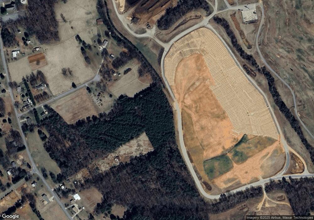
Map
Nearby Homes
- 4146 Old State Rd
- 4339 Angel Hill Dr
- 1 ACRE Jacobs Fork None
- 3651 W Nc 10 Hwy
- 2540 N Carolina 10 Hwy
- 3425 Zion Church Rd
- 4171 Leatherman Rd
- 2589 Polo Ln
- 2596 Polo Ln
- 3340 Wrenwood Dr
- 4053 Killian Rd
- 2182 W Maiden Rd
- 4050 Fairview Dr
- 4176 River Run Cir
- 4149 River Run Cir
- 4175 River Run Cir
- 5624 Startown Rd
- 5300 Startown Rd
- 2114 Finger Bridge Rd
- 3920 Cherry Grove Dr
- 3737 Jarrett Rd
- 3764 Jarrett Rd
- 3766 Jarrett Rd
- 4778 Hickory Lincolnton Hwy
- 3762 Jarrett Rd
- 3805 Jarrett Rd
- 4740 Hickory Lincolnton Hwy
- 4752 Hickory Lincolnton Hwy
- 3806 Jarrett Rd
- 4684 Hickory Lincolnton Hwy
- 4660 Hickory Lincolnton Hwy
- 3820 Jarrett Rd
- 4695 Hickory Lincolnton Hwy
- 4636 Hickory Lincolnton Hwy
- 4741 Hickory Lincolnton Hwy
- 4675 Hickory Lincolnton Hwy
- 4685 Hickory Lincolnton Hwy
- 4794 Hickory Lincolnton Hwy
- 4572 Hickory Lincolnton Hwy
- 4590 Hickory Lincolnton Hwy