377 Labrant Rd Bigfork, MT 59911
Estimated Value: $1,619,107 - $1,781,000
3
Beds
4
Baths
5,448
Sq Ft
$308/Sq Ft
Est. Value
About This Home
This home is located at 377 Labrant Rd, Bigfork, MT 59911 and is currently estimated at $1,679,369, approximately $308 per square foot. 377 Labrant Rd is a home located in Flathead County with nearby schools including Bigfork Elementary School, Bigfork Middle School, and Bigfork High School.
Ownership History
Date
Name
Owned For
Owner Type
Purchase Details
Closed on
Apr 30, 2018
Sold by
Noonan David W and Newman Kay E
Bought by
Forsander Craig and Forsander Barbara
Current Estimated Value
Home Financials for this Owner
Home Financials are based on the most recent Mortgage that was taken out on this home.
Original Mortgage
$638,800
Outstanding Balance
$550,661
Interest Rate
4.45%
Mortgage Type
New Conventional
Estimated Equity
$1,128,708
Create a Home Valuation Report for This Property
The Home Valuation Report is an in-depth analysis detailing your home's value as well as a comparison with similar homes in the area
Purchase History
| Date | Buyer | Sale Price | Title Company |
|---|---|---|---|
| Forsander Craig | -- | Insured Title |
Source: Public Records
Mortgage History
| Date | Status | Borrower | Loan Amount |
|---|---|---|---|
| Open | Forsander Craig | $638,800 |
Source: Public Records
Tax History
| Year | Tax Paid | Tax Assessment Tax Assessment Total Assessment is a certain percentage of the fair market value that is determined by local assessors to be the total taxable value of land and additions on the property. | Land | Improvement |
|---|---|---|---|---|
| 2025 | $6,116 | $1,588,900 | $0 | $0 |
| 2024 | $5,601 | $1,164,400 | $0 | $0 |
| 2023 | $5,638 | $1,164,400 | $0 | $0 |
| 2022 | $5,442 | $844,200 | $0 | $0 |
| 2021 | $5,995 | $844,200 | $0 | $0 |
| 2020 | $5,699 | $776,900 | $0 | $0 |
| 2019 | $4,823 | $681,900 | $0 | $0 |
| 2018 | $4,770 | $639,700 | $0 | $0 |
| 2017 | $4,493 | $639,700 | $0 | $0 |
| 2016 | $2,154 | $586,300 | $0 | $0 |
| 2015 | $3,991 | $586,300 | $0 | $0 |
| 2014 | $3,754 | $332,363 | $0 | $0 |
Source: Public Records
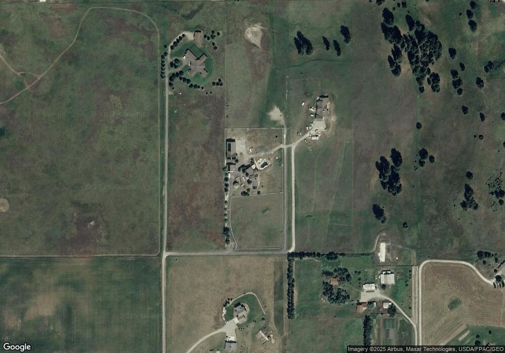
Map
Nearby Homes
- 369 La Brant Rd
- 57 Shale Ct
- 33 Shale Ct
- 685 Lindsey Ct
- 5464 Mt Highway 35
- 5110 Montana Highway 35
- 300 S Many Lakes Dr
- 222/226 Many Lakes Dr
- 110 Many Lakes Dr
- 221 Belterra Ln
- 1262 Riverside Rd
- 155 Spotted Fawn Ln
- 1029 Lake of the Woods Ln
- 324 Kathy Lake Ln
- 203 Muth Ln
- 325 Kathy Lake Ln
- 306 Parker Lakes Rd
- 199 E Many Lakes Dr
- 31 Wild Turkey Ln
- 55 Wild Turkey Ln
- 377 La Brant Rd
- 377 La Brant Rd
- 375 La Brant Rd
- 90 Indian Ridge Rd
- 389 La Brant Rd
- 78 Indian Ridge
- 78 Indian Ridge Rd
- 457 La Brant Rd
- 1075 La Brant Rd
- 529 Kohler Lake Ln
- 455 La Brant Rd
- 587 Kohler Lake Ln
- 1159 Labrant Ridge Rd
- 1101 La Brant Ridge Rd
- 441 Kohler Lake Ln
- 68 Indian Ridge Rd
- 1122 La Brant Ridge Rd
- 77 Indian Ridge Rd
- 445 La Brant Rd
- 30 Strawberry View Ln
Your Personal Tour Guide
Ask me questions while you tour the home.