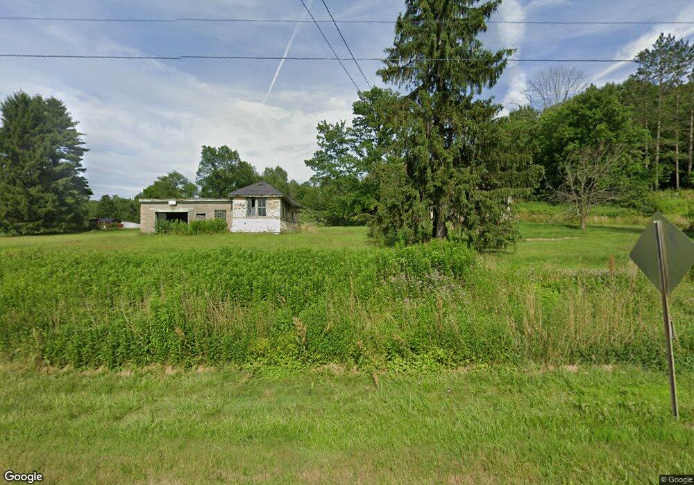
3770 Route 446 Eldred, PA 16731
Estimated Value: $87,850 - $118,000
Studio
--
Bath
810
Sq Ft
$127/Sq Ft
Est. Value
About This Home
This home is located at 3770 Route 446, Eldred, PA 16731 and is currently estimated at $102,963, approximately $127 per square foot. 3770 Route 446 is a home located in McKean County with nearby schools including Otto-Eldred Elementary School and Otto-Eldred Junior/Senior High School.
Ownership History
Date
Name
Owned For
Owner Type
Purchase Details
Closed on
Jan 7, 2005
Sold by
Kightlinger Joseph R and Hinman Jessica L
Bought by
Reed Leona J
Current Estimated Value
Home Financials for this Owner
Home Financials are based on the most recent Mortgage that was taken out on this home.
Original Mortgage
$50,085
Outstanding Balance
$25,287
Interest Rate
5.75%
Mortgage Type
New Conventional
Estimated Equity
$77,676
Create a Home Valuation Report for This Property
The Home Valuation Report is an in-depth analysis detailing your home's value as well as a comparison with similar homes in the area
Purchase History
| Date | Buyer | Sale Price | Title Company |
|---|---|---|---|
| Reed Leona J | $50,085 | None Available |
Source: Public Records
Mortgage History
| Date | Status | Borrower | Loan Amount |
|---|---|---|---|
| Open | Reed Leona J | $50,085 |
Source: Public Records
Tax History
| Year | Tax Paid | Tax Assessment Tax Assessment Total Assessment is a certain percentage of the fair market value that is determined by local assessors to be the total taxable value of land and additions on the property. | Land | Improvement |
|---|---|---|---|---|
| 2025 | $1,386 | $37,030 | $13,660 | $23,370 |
| 2024 | $1,289 | $37,030 | $13,660 | $23,370 |
| 2023 | $1,310 | $37,030 | $13,660 | $23,370 |
| 2022 | $1,289 | $37,030 | $13,660 | $23,370 |
| 2021 | $1,279 | $37,030 | $13,660 | $23,370 |
| 2020 | $1,279 | $37,030 | $13,660 | $23,370 |
| 2019 | $1,214 | $37,030 | $13,660 | $23,370 |
| 2018 | $12 | $37,030 | $13,660 | $23,370 |
| 2017 | -- | $37,030 | $13,660 | $23,370 |
| 2016 | $1,126 | $37,030 | $13,660 | $23,370 |
| 2015 | $44 | $37,030 | $13,660 | $23,370 |
| 2014 | $44 | $37,030 | $13,660 | $23,370 |
Source: Public Records
Map
Nearby Homes
- 22 Park Ave
- 53 Edson St
- 47 Edson St
- 12 Edson St
- 33 Edson St
- 26 King St
- 1470 Barden Brook Rd
- 173 Barden Brook
- 22 King St
- 320 Sartwell Rd
- 887 Barnum Rd
- 787 Champlin Hill Rd
- 801 Annin Creek Rd
- 1209 Little Loop Rd
- 1368 Looker Mountain Trail
- 1154 Little Loop Rd
- 296 Prosser Rd
- 2125 Annin Creek
- 126 S Main St
- 659 Birch Run Rd
- 3754 Route 446
- 3747 Route 446
- 3810 Route 446
- 3729 Route 446
- 3729 Route 446
- 4 Main St
- 0 Haymaker Rd Unit R1305401
- 00 Off Windfall Hollow Rd
- 0 Sartwell Newell Creek Rd Unit R1297948
- 76 Canfield Hollow
- 16 Main St
- 21 Canfield Hollow
- 13 Wright Rd
- 3665 Route 446
- 14 Wright Rd
- 100 Canfield Hollow
- 18 Main St
- 17 Main St
- 17 Main St
- 118 Canfield Hollow
Your Personal Tour Guide
Ask me questions while you tour the home.