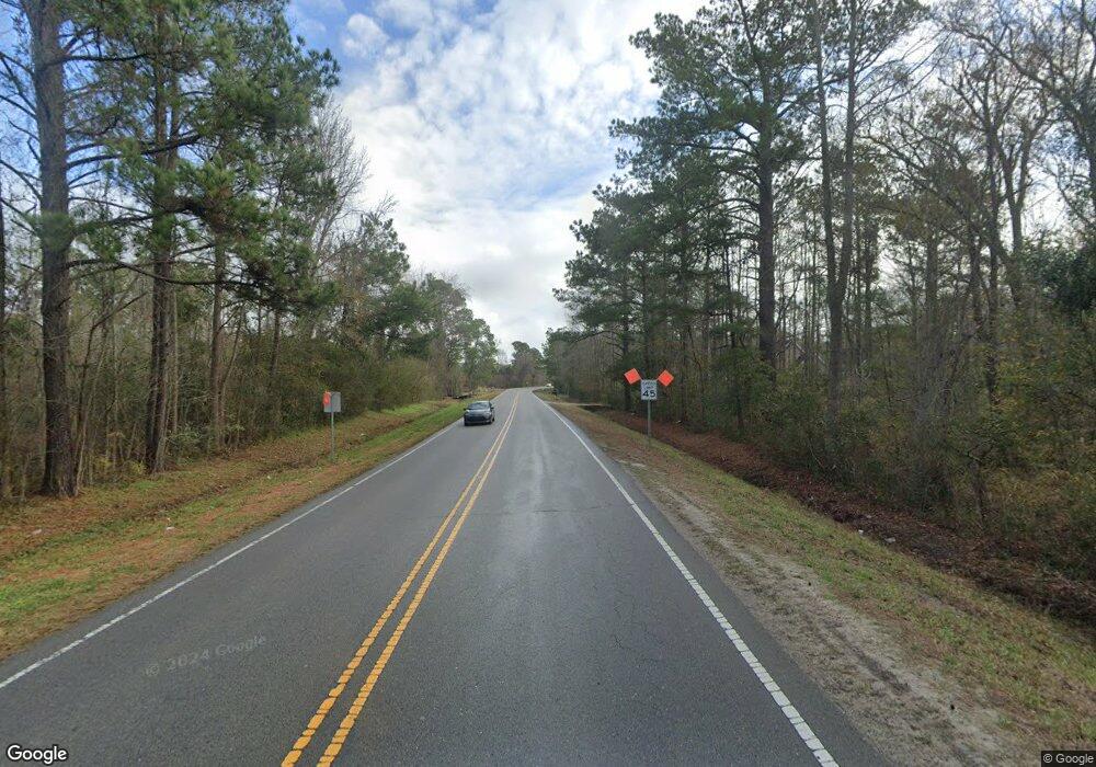
3776 Nc Highway 210 W Hampstead, NC 28443
Estimated Value: $386,000 - $887,215
3
Beds
2
Baths
2,340
Sq Ft
$228/Sq Ft
Est. Value
About This Home
This home is located at 3776 Nc Highway 210 W, Hampstead, NC 28443 and is currently estimated at $534,054, approximately $228 per square foot. 3776 Nc Highway 210 W is a home located in Pender County with nearby schools including South Topsail Elementary School, Topsail Middle School, and Topsail High School.
Ownership History
Date
Name
Owned For
Owner Type
Purchase Details
Closed on
Feb 23, 2011
Sold by
Edward Jones Trust Co
Bought by
Williams Susan and Herring Family Trust
Current Estimated Value
Purchase Details
Closed on
Feb 17, 2011
Sold by
Mason David G and Mason Vonda S
Bought by
Williams Susan and Herring Family Trust
Create a Home Valuation Report for This Property
The Home Valuation Report is an in-depth analysis detailing your home's value as well as a comparison with similar homes in the area
Home Values in the Area
Average Home Value in this Area
Purchase History
| Date | Buyer | Sale Price | Title Company |
|---|---|---|---|
| Williams Susan | -- | -- | |
| Williams Susan | -- | -- |
Source: Public Records
Tax History Compared to Growth
Tax History
| Year | Tax Paid | Tax Assessment Tax Assessment Total Assessment is a certain percentage of the fair market value that is determined by local assessors to be the total taxable value of land and additions on the property. | Land | Improvement |
|---|---|---|---|---|
| 2024 | $4,110 | $422,684 | $184,060 | $238,624 |
| 2023 | $4,110 | $422,684 | $184,060 | $238,624 |
| 2022 | $3,629 | $422,684 | $184,060 | $238,624 |
| 2021 | $3,629 | $422,684 | $184,060 | $238,624 |
| 2020 | $3,539 | $411,920 | $184,060 | $227,860 |
| 2019 | $3,539 | $411,920 | $184,060 | $227,860 |
| 2018 | $1,797 | $193,407 | $55,060 | $138,347 |
| 2017 | $1,797 | $193,407 | $55,060 | $138,347 |
| 2016 | $1,888 | $193,407 | $55,060 | $138,347 |
| 2015 | $1,853 | $193,407 | $55,060 | $138,347 |
| 2014 | $1,468 | $193,407 | $55,060 | $138,347 |
| 2013 | -- | $193,407 | $55,060 | $138,347 |
| 2012 | -- | $193,407 | $55,060 | $138,347 |
Source: Public Records
Map
Nearby Homes
- 122 Derby Ln
- 514 Poppleton Dr
- 574 Poppleton Dr
- 594 Poppleton Dr
- 324 Knollwood Dr
- 141 Fresh Air Dr
- 60 Gordy Way
- 67 Fresh Air Dr
- 249 Hope Creek Dr
- 70 Thornbury Dr
- 4447 Nc Highway 210
- 69 Thornbury Dr
- 380 Avendale Dr
- 463 Avendale Dr
- 403 Habersham Ave
- 47 Whitaker Ct
- 770 Harrison Creek Rd
- 313 Oakmont Dr
- Vienna 2080 Plan at Wylie Branch
- Avalon Plan at Wylie Branch
- 0 Dallie Futch Rd
- 4 Island Creek Rd
- 100 Royal Oaks Dr
- 100 Royal Oak Dr
- 3920 Nc Highway 210 W
- 3685 Nc Highway 210 W
- 5 Island Creek Rd
- 1 Island Creek Rd
- 104 Royal Oaks Dr
- 104 Royal Oak Dr
- 101 Derby Ln
- 35 Anna Bell Ln
- 35 Anna Bell Ln
- 103 Royal Oak Dr
- 105 Derby Ln
- 108 Royal Oak Dr
- 200 Island Creek Rd
- 159 Stellas Way
- 102 Derby Ln
- 119 Stellas Way
