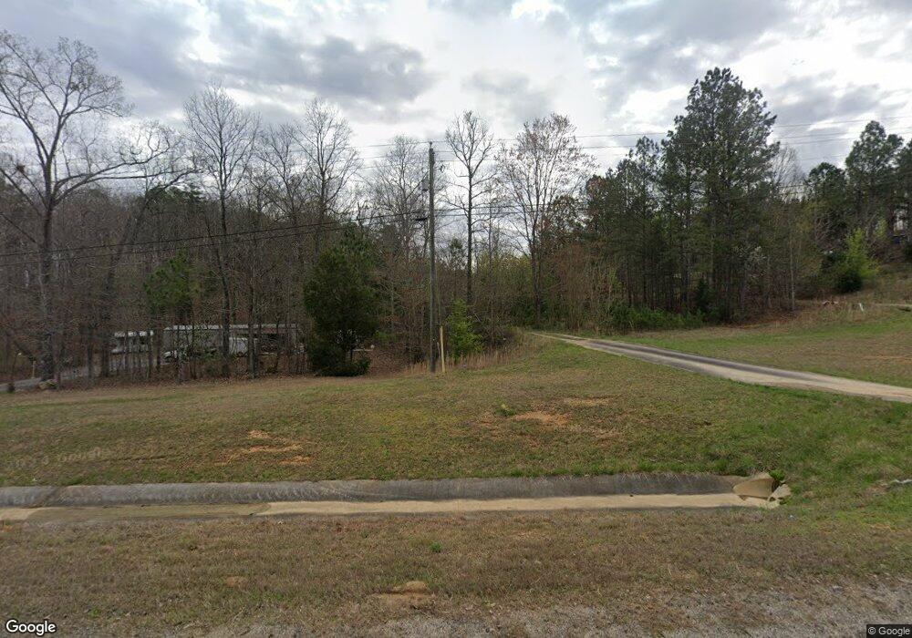
3777 Buchanan Hwy Cedartown, GA 30125
Estimated Value: $93,000 - $188,000
3
Beds
1
Bath
1,349
Sq Ft
$101/Sq Ft
Est. Value
About This Home
This home is located at 3777 Buchanan Hwy, Cedartown, GA 30125 and is currently estimated at $136,740, approximately $101 per square foot. 3777 Buchanan Hwy is a home located in Polk County.
Ownership History
Date
Name
Owned For
Owner Type
Purchase Details
Closed on
Mar 23, 2001
Sold by
Cummings Gary W
Bought by
Alvarado Marcelino
Current Estimated Value
Purchase Details
Closed on
Feb 1, 1978
Sold by
Cummings Micheal D
Bought by
Cummings Gary W
Purchase Details
Closed on
Dec 5, 1975
Sold by
Cummings Micheal D
Bought by
Puckett J D
Purchase Details
Closed on
Sep 20, 1974
Sold by
Puckett J D
Bought by
Cummings Micheal D
Purchase Details
Closed on
Sep 20, 1972
Sold by
Puckett J D
Bought by
Cummings Micheal D
Purchase Details
Closed on
Apr 4, 1972
Sold by
Ramey Robert L
Bought by
Puckett J D
Purchase Details
Closed on
Sep 3, 1971
Sold by
Ramey Robert L
Bought by
Ramey Robert L
Purchase Details
Closed on
Jun 24, 1971
Sold by
Puckett Puckett J and Puckett Wife
Bought by
Ramey Robert L
Purchase Details
Closed on
Aug 13, 1958
Bought by
Puckett Puckett J and Puckett Wife
Create a Home Valuation Report for This Property
The Home Valuation Report is an in-depth analysis detailing your home's value as well as a comparison with similar homes in the area
Home Values in the Area
Average Home Value in this Area
Purchase History
| Date | Buyer | Sale Price | Title Company |
|---|---|---|---|
| Alvarado Marcelino | $27,000 | -- | |
| Cummings Gary W | -- | -- | |
| Puckett J D | -- | -- | |
| Cummings Micheal D | -- | -- | |
| Cummings Micheal D | -- | -- | |
| Puckett J D | -- | -- | |
| Ramey Robert L | -- | -- | |
| Ramey Robert L | -- | -- | |
| Puckett Puckett J | -- | -- |
Source: Public Records
Tax History Compared to Growth
Tax History
| Year | Tax Paid | Tax Assessment Tax Assessment Total Assessment is a certain percentage of the fair market value that is determined by local assessors to be the total taxable value of land and additions on the property. | Land | Improvement |
|---|---|---|---|---|
| 2024 | $379 | $20,134 | $4,365 | $15,769 |
| 2023 | $306 | $14,892 | $4,365 | $10,527 |
| 2022 | $240 | $12,125 | $2,910 | $9,215 |
| 2021 | $243 | $12,125 | $2,910 | $9,215 |
| 2020 | $244 | $12,125 | $2,910 | $9,215 |
| 2019 | $253 | $11,416 | $2,910 | $8,506 |
| 2018 | $252 | $11,158 | $2,910 | $8,248 |
| 2017 | $249 | $11,158 | $2,910 | $8,248 |
| 2016 | $273 | $12,032 | $4,030 | $8,003 |
| 2015 | $274 | $12,032 | $4,030 | $8,003 |
| 2014 | $276 | $12,032 | $4,030 | $8,003 |
Source: Public Records
Map
Nearby Homes
- 0 Youngs Farm Rd Unit 24829378
- 0 Buchanan Hwy Unit 10558945
- 4550 Buchanan Hwy
- 4267 Buchanan Hwy
- 525 Grogan Rd
- 539 Grogan Rd
- 557 Grogan Rd
- 160 Tate Rd
- 00 Antioch Rd
- 95 Wieuca Way
- 0 Wieuca Way Unit 10614129
- 000 Wieuca Way
- 142 Acres On Judkin Mill Rd
- 00 Buchanan Hwy
- 766 Antioch Rd
- 1987 Buchanan Hwy
- 7474 Highway 27
- 1870 Tallapoosa Hwy
- 497 Judkin Mill Rd
- 35 Old Mill Rd
- 3815 Buchanan Hwy
- 3737 Buchanan Hwy
- 3767 Buchanan Hwy
- 3725 Buchanan Hwy
- 3711 Buchanan Hwy
- 3810 Buchanan Hwy
- 3784 Buchanan Hwy
- 3864 Buchanan Hwy
- 3673 Buchanan Hwy
- 3686 Buchanan Hwy
- 4171 Buchanan Hwy
- 0 Youngs Valley Rd
- 00 Youngs Valley Rd
- 0 Youngs Farm Rd Unit 7473824
- 0 Youngs Farm Rd Unit 7084863
- 0 Youngs Farm Rd Unit 7436130
- 0 Youngs Farm Rd Unit 8609763
- 0 Youngs Farm Rd Unit 8457880
- 0 Youngs Farm Rd Unit 8089860
- 0 Youngs Farm Rd Unit 8038183
