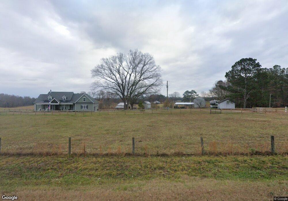
378 Sam Horton Rd Louisburg, NC 27549
Estimated Value: $543,000 - $2,121,873
3
Beds
3
Baths
3,184
Sq Ft
$418/Sq Ft
Est. Value
About This Home
This home is located at 378 Sam Horton Rd, Louisburg, NC 27549 and is currently estimated at $1,332,437, approximately $418 per square foot. 378 Sam Horton Rd is a home located in Franklin County with nearby schools including Louisburg Elementary School, Bunn Middle School, and Bunn High School.
Ownership History
Date
Name
Owned For
Owner Type
Purchase Details
Closed on
Jan 20, 2023
Sold by
Ginn William Mckinley and Ginn Johnette
Bought by
Donini Frank J and Donini Carole C
Current Estimated Value
Purchase Details
Closed on
May 9, 2019
Sold by
William M Ginn Revocable Trust
Bought by
Peggy W Ginn Revocable Trust
Create a Home Valuation Report for This Property
The Home Valuation Report is an in-depth analysis detailing your home's value as well as a comparison with similar homes in the area
Home Values in the Area
Average Home Value in this Area
Purchase History
| Date | Buyer | Sale Price | Title Company |
|---|---|---|---|
| Donini Frank J | $200,000 | -- | |
| Peggy W Ginn Revocable Trust | -- | None Available | |
| Ginn William Mckinley | -- | None Available |
Source: Public Records
Tax History Compared to Growth
Tax History
| Year | Tax Paid | Tax Assessment Tax Assessment Total Assessment is a certain percentage of the fair market value that is determined by local assessors to be the total taxable value of land and additions on the property. | Land | Improvement |
|---|---|---|---|---|
| 2025 | $4,622 | $2,075,030 | $1,451,800 | $623,230 |
| 2024 | $4,543 | $2,075,030 | $1,451,800 | $623,230 |
| 2023 | $4,226 | $902,854 | $492,430 | $410,424 |
| 2022 | $3,959 | $873,030 | $492,430 | $380,600 |
| 2021 | $4,004 | $873,030 | $492,430 | $380,600 |
| 2020 | $4,029 | $873,030 | $492,430 | $380,600 |
| 2019 | $3,979 | $873,030 | $492,430 | $380,600 |
| 2018 | $4,468 | $891,900 | $511,300 | $380,600 |
| 2017 | $4,787 | $797,310 | $427,030 | $370,280 |
| 2016 | $4,958 | $797,310 | $427,030 | $370,280 |
| 2015 | $4,958 | $797,310 | $427,030 | $370,280 |
| 2014 | $4,675 | $797,310 | $427,030 | $370,280 |
Source: Public Records
Map
Nearby Homes
- 70 Rough Ln
- 45 Horsecreek Rd
- Lot 3 Rembert Run Ct
- Lot 1 Rembert Run Ct
- 10 Wilders Ln
- Lot 5 Rembert Run Ct
- 25 Rembert Run Ct
- 180 Normandy Rd
- 35 Cotton Dr
- 563 Arnold Rd
- 60 Harley Ct
- 4009 Nc 39 Hwy S
- 444 Barnette Rd
- 3986 US 401 Hwy S
- 7187 Pearces Rd
- 100 Cedarwood Dr
- 7397 Pearces Rd
- 43.76 Acre Huntsburg Dr
- 80 Shartree Farms Ln
- 25 Hillside Village Dr
- 409 Sam Horton Rd
- 494 Sam Horton Rd
- 223 Sam Horton Rd
- 354 Springfield Ln
- 564 Sam Horton Rd
- 564 Sam Horton Rd
- 221 Sam Horton Rd
- 564 Dick Baker Rd
- 279 Sam Horton Rd
- 167 Sam Horton Rd
- 588 Sam Horton Rd
- 587 Sam Horton Rd
- 486 Dick Baker Rd
- 161 Sam Horton Rd
- 604 Sam Horton Rd
- 148 Sam Horton Rd
- 603 Sam Horton Rd
- 133 Sam Horton Rd
- 124 Sam Horton Rd
- 348 Dick Baker Rd