37830 Highway 169 Osawatomie, KS 66064
Estimated Value: $288,000 - $452,463
3
Beds
2
Baths
1,271
Sq Ft
$311/Sq Ft
Est. Value
About This Home
This home is located at 37830 Highway 169, Osawatomie, KS 66064 and is currently estimated at $395,616, approximately $311 per square foot. 37830 Highway 169 is a home located in Miami County with nearby schools including Swenson Early Childhood Education Center, Trojan Elementary School, and Osawatomie Middle School.
Ownership History
Date
Name
Owned For
Owner Type
Purchase Details
Closed on
Apr 8, 2020
Sold by
Kettles Linda M
Bought by
Thao Rose C and Lo Lahee K
Current Estimated Value
Home Financials for this Owner
Home Financials are based on the most recent Mortgage that was taken out on this home.
Original Mortgage
$209,000
Outstanding Balance
$184,797
Interest Rate
3.3%
Mortgage Type
New Conventional
Estimated Equity
$210,819
Create a Home Valuation Report for This Property
The Home Valuation Report is an in-depth analysis detailing your home's value as well as a comparison with similar homes in the area
Home Values in the Area
Average Home Value in this Area
Purchase History
| Date | Buyer | Sale Price | Title Company |
|---|---|---|---|
| Thao Rose C | -- | Security First Title |
Source: Public Records
Mortgage History
| Date | Status | Borrower | Loan Amount |
|---|---|---|---|
| Open | Thao Rose C | $209,000 |
Source: Public Records
Tax History Compared to Growth
Tax History
| Year | Tax Paid | Tax Assessment Tax Assessment Total Assessment is a certain percentage of the fair market value that is determined by local assessors to be the total taxable value of land and additions on the property. | Land | Improvement |
|---|---|---|---|---|
| 2025 | $4,003 | $39,456 | $9,860 | $29,596 |
| 2024 | $3,722 | $37,306 | $8,924 | $28,382 |
| 2023 | $3,778 | $36,938 | $8,242 | $28,696 |
| 2022 | $3,101 | $29,003 | $6,707 | $22,296 |
| 2021 | $1,512 | $0 | $0 | $0 |
| 2020 | $2,991 | $0 | $0 | $0 |
| 2019 | $2,548 | $0 | $0 | $0 |
| 2018 | $2,393 | $0 | $0 | $0 |
| 2017 | $2,284 | $0 | $0 | $0 |
| 2016 | -- | $0 | $0 | $0 |
| 2015 | -- | $0 | $0 | $0 |
| 2014 | -- | $0 | $0 | $0 |
| 2013 | -- | $0 | $0 | $0 |
Source: Public Records
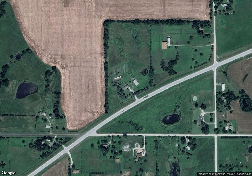
Map
Nearby Homes
- 37690 U S 169
- U S 169
- 34361 W 363rd St
- 38939 387th St
- W 383rd St
- 00000 W 391st St
- 38701 Evening Star Rd
- 40182 W 379th St
- 0 W 355th St
- 32485 W 399th St
- 612 17th St
- 24770 Earnest Rd
- 501 18th St
- 1734 Main St Unit Terrace
- 1734 Main Street Terrace
- 1612 Brown Ave
- 1548 Brown Ave
- 1103 Chestnut St
- 1324 Pacific Ave
- 1711 Lockhart Ln
- 37830 Highway 169
- 37740 Bethel Church Rd
- 35491 W 379th St
- 35445 W 379th St
- 37880 Bethel Church Rd
- 35215 W 379th St
- 35720 W 379th St
- 37720 Bethel Church Rd
- 35695 W 379th St
- 37845 Bethel Church Rd
- 37925 Highway 169
- 35070 W 379th St
- 37640 Bethel Church Rd
- 37655 Bethel Church Rd
- 35933 W 379th St
- 37991 Bethel Church Rd
- 36009 W 379th St
- 37975 Highway 169
- 38020 Highway 169
- 38065 Bethel Church Rd