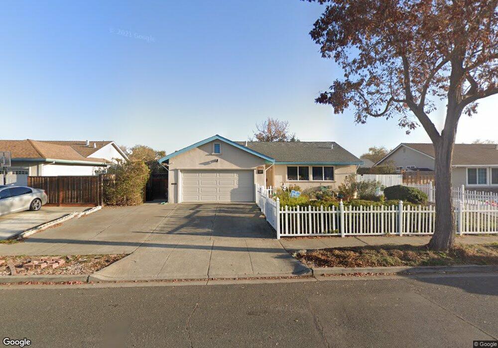
37848 Rockspray St Newark, CA 94560
Birch Grove NeighborhoodEstimated Value: $1,101,000 - $1,502,000
3
Beds
2
Baths
1,762
Sq Ft
$767/Sq Ft
Est. Value
About This Home
This home is located at 37848 Rockspray St, Newark, CA 94560 and is currently estimated at $1,350,701, approximately $766 per square foot. 37848 Rockspray St is a home located in Alameda County with nearby schools including Birch Grove Intermediate School, Newark Junior High School, and Newark Memorial High School.
Ownership History
Date
Name
Owned For
Owner Type
Purchase Details
Closed on
Aug 10, 2012
Sold by
Arellano Rick A
Bought by
Arellano Rick A and Arellano Sandra M
Current Estimated Value
Home Financials for this Owner
Home Financials are based on the most recent Mortgage that was taken out on this home.
Original Mortgage
$388,000
Interest Rate
3.56%
Mortgage Type
New Conventional
Purchase Details
Closed on
Mar 12, 2002
Sold by
Arellano Sandra Marie
Bought by
Arellano Ricardo
Home Financials for this Owner
Home Financials are based on the most recent Mortgage that was taken out on this home.
Original Mortgage
$240,000
Interest Rate
6.85%
Create a Home Valuation Report for This Property
The Home Valuation Report is an in-depth analysis detailing your home's value as well as a comparison with similar homes in the area
Home Values in the Area
Average Home Value in this Area
Purchase History
| Date | Buyer | Sale Price | Title Company |
|---|---|---|---|
| Arellano Rick A | $194,000 | Old Republic Title Company | |
| Arellano Ricardo | -- | Old Republic Title Company |
Source: Public Records
Mortgage History
| Date | Status | Borrower | Loan Amount |
|---|---|---|---|
| Closed | Arellano Rick A | $388,000 | |
| Closed | Arellano Ricardo | $240,000 |
Source: Public Records
Tax History
| Year | Tax Paid | Tax Assessment Tax Assessment Total Assessment is a certain percentage of the fair market value that is determined by local assessors to be the total taxable value of land and additions on the property. | Land | Improvement |
|---|---|---|---|---|
| 2025 | $2,156 | $123,938 | $26,234 | $104,704 |
| 2024 | $2,156 | $121,370 | $25,719 | $102,651 |
| 2023 | $2,077 | $125,853 | $25,215 | $100,638 |
| 2022 | $2,022 | $116,386 | $24,721 | $98,665 |
| 2021 | $1,976 | $113,967 | $24,236 | $96,731 |
| 2020 | $1,872 | $119,727 | $23,988 | $95,739 |
| 2019 | $1,849 | $117,379 | $23,517 | $93,862 |
| 2018 | $1,814 | $115,078 | $23,056 | $92,022 |
| 2017 | $1,767 | $112,822 | $22,604 | $90,218 |
| 2016 | $1,730 | $110,610 | $22,161 | $88,449 |
| 2015 | $1,722 | $108,949 | $21,828 | $87,121 |
| 2014 | $1,668 | $106,814 | $21,400 | $85,414 |
Source: Public Records
Map
Nearby Homes
- 5859 Central Ave
- 6257 Honeysuckle Dr
- 37640 Hyacinth St
- 6364 Honeysuckle Dr
- 38445 Amaranto St
- 38463 Amaranto St
- 5268 Keeler Ct
- 38353 Farwell Dr
- 38515 Amaranto St
- 38509 Amaranto St
- 38539 Amaranto St
- 5513 Higo Way
- 5550 Higo Way
- 5516 Higo Way
- 5502 Higo Way
- 38427 Cedar Blvd
- 5229 Sabin Ave
- 6332 Rockrose Dr
- 37141 Saint Christopher St
- 5724 Pandorea Terrace
- 37816 Rockspray St
- 37864 Rockspray St
- 37847 Goldenrod Dr
- 37869 Goldenrod Dr
- 37825 Goldenrod Dr
- 37794 Rockspray St
- 37884 Rockspray St
- 37841 Rockspray St
- 37819 Rockspray St
- 37863 Rockspray St
- 37881 Goldenrod Dr
- 37799 Goldenrod Dr
- 37797 Rockspray St
- 37889 Rockspray St
- 37782 Rockspray St
- 37787 Goldenrod Dr
- 37842 Dahlia Dr
- 37783 Rockspray St
- 37818 Dahlia Dr
- 37834 Goldenrod Dr
Your Personal Tour Guide
Ask me questions while you tour the home.