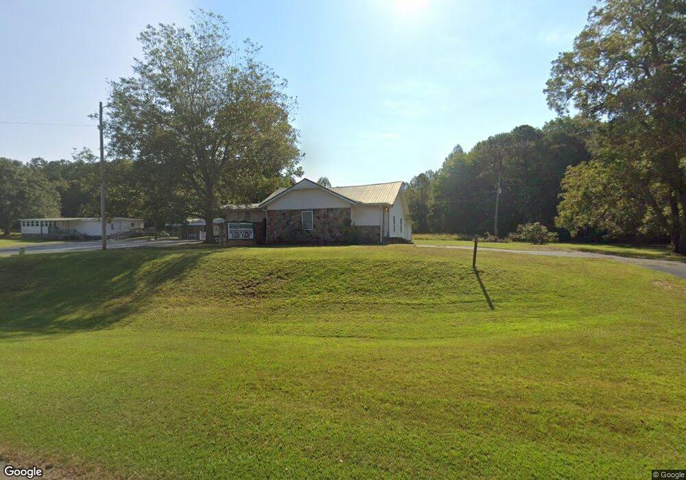
3786 S Highway 27 Carrollton, GA 30117
Estimated Value: $273,342 - $382,000
--
Bed
--
Bath
2,551
Sq Ft
$126/Sq Ft
Est. Value
About This Home
This home is located at 3786 S Highway 27, Carrollton, GA 30117 and is currently estimated at $321,836, approximately $126 per square foot. 3786 S Highway 27 is a home located in Carroll County with nearby schools including Roopville Elementary School, Central Middle School, and Central High School.
Ownership History
Date
Name
Owned For
Owner Type
Purchase Details
Closed on
Dec 1, 2024
Sold by
Armstrong Mark
Bought by
Bethel Roopville Holiness Church
Current Estimated Value
Purchase Details
Closed on
Jun 8, 2023
Sold by
Armstrong Hurchell W
Bought by
Armstrong Mark
Purchase Details
Closed on
Nov 2, 2004
Sold by
Roopville Holiness C
Bought by
Roopville Holiness Church
Purchase Details
Closed on
Jun 1, 1998
Sold by
Bethel Church House
Bought by
Roopville Holiness C
Purchase Details
Closed on
Sep 25, 1997
Sold by
Bethel Ch Of God Tru
Bought by
Bethel Church House
Purchase Details
Closed on
Jun 17, 1986
Bought by
Bethel Ch Of God Tru
Create a Home Valuation Report for This Property
The Home Valuation Report is an in-depth analysis detailing your home's value as well as a comparison with similar homes in the area
Home Values in the Area
Average Home Value in this Area
Purchase History
| Date | Buyer | Sale Price | Title Company |
|---|---|---|---|
| Bethel Roopville Holiness Church | -- | -- | |
| Armstrong Mark | -- | -- | |
| Roopville Holiness Church | -- | -- | |
| Roopville Holiness C | -- | -- | |
| Bethel Church House | -- | -- | |
| Bethel Church House | $39,500 | -- | |
| Bethel Ch Of God Tru | -- | -- |
Source: Public Records
Tax History Compared to Growth
Tax History
| Year | Tax Paid | Tax Assessment Tax Assessment Total Assessment is a certain percentage of the fair market value that is determined by local assessors to be the total taxable value of land and additions on the property. | Land | Improvement |
|---|---|---|---|---|
| 2024 | $2,231 | $98,610 | $5,724 | $92,886 |
| 2023 | $0 | $89,756 | $5,724 | $84,032 |
| 2022 | $1,838 | $73,283 | $5,724 | $67,559 |
| 2021 | $1,626 | $63,430 | $5,724 | $57,706 |
| 2020 | $1,532 | $57,755 | $5,724 | $52,031 |
| 2019 | $1,410 | $53,140 | $5,724 | $47,416 |
| 2018 | $1,230 | $46,692 | $5,724 | $40,968 |
| 2017 | $1,230 | $46,692 | $5,724 | $40,968 |
| 2016 | $1,230 | $46,692 | $5,724 | $40,968 |
| 2015 | -- | $36,143 | $5,724 | $30,420 |
| 2014 | -- | $36,144 | $5,724 | $30,420 |
Source: Public Records
Map
Nearby Homes
- 0 Bonner Goldmine Rd Unit 145631
- 0 Bonner Goldmine Rd Unit 10433818
- 0 Ringer Rd Unit 10595950
- 00 Ringer Rd
- 0 Lowell Rd Unit 10640679
- 2088 Star Point Rd
- 195 Gold Dust Trail
- 191 Tumlin Creek Rd
- 2492 Oak Grove Church Rd
- 221 Valley Ridge Dr
- 484 Carrie Kathleen Terrace
- 472 Carrie Kathleen Terrace
- 1915 Whooping Creek Church Rd
- 1170 Lowell Rd
- 0 Louise Ln Unit 10563364
- 915 Oak Grove Rd
- 500 Coleman Mill Rd
- 2214 Hays Mill Rd
- 135 Gray Rd
- 3822 S Highway 27
- 3554 N Highway 27
- 3554 N Highway 27
- 3825 S Highway 27 Unit 2
- 3825 S Highway 27
- 3825 S Highway 27 Unit 2 & 3
- 591 Ringer Rd
- 198 Hester Rd
- 3825 Us Highway 27 Unit 2 & 3
- 3825 Us Highway 27
- 155 Hester Rd
- 0 Shirey Dairy Tract 7 (10 Acres) Unit 7117153
- 0 Shirey Dairy Tract 7 (10 Acres) Unit 10061704
- 511 Ringer Rd
- 0 Shirey Dairy Tract 5 (10 Acres) Unit 7117195
- 0 Shirey Dairy Tract 6 (10 Acres) Unit 7117163
- 0 Shirey Dairy Tract 2 (10 Acres) Unit 10044754
- 0 Shirey Dairy Tract 5 (10 Acres) Unit 10044742
- 0 Shirey Dairy Tract 6 (10 Acres) Unit 10044717
- 90 Shirey Dairy Rd